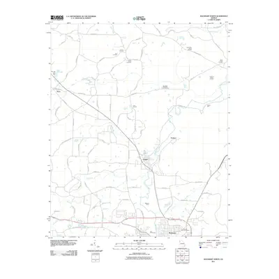
2011 Map of Rockmart North
USGS Topo · Published 2011About this map
Euharlee Creek and Fish Creek define the drainage of this Georgia landscape, which is marked by a long history of industrial extraction and small-town settlement. The map traces the corridor between Aragon and the northern edge of Rockmart, highlighting the local importance of the Rockmart Quarry and the Deaton Mine near the crossing of Taylorsville RD. These sites indicate the area's geological value and the economic drivers that shaped these communities.
Find a feature on this map
86 named features on this map. Tap any name to fly to it.
Don’t see what you’re looking for? This feature index may not catch every label — zoom into the map to look around manually.
Map Details
Editions of this 2011 Rockmart North Map
This is the sole edition of this map. No revisions or reprints were ever made.
Other maps of this area

1886 · Rome
USGS Topo · 1:125,000

1889 · Tallapoosa
USGS Topo · 1:125,000

1890 · Cartersville
USGS Topo · 1:125,000

1891 · Marietta
USGS Topo · 1:125,000

1891 · Cartersville
USGS Topo · 1:125,000

1892 · Tallapoosa
USGS Topo · 1:125,000

1895 · Marietta
USGS Topo · 1:125,000

1896 · Cartersville
USGS Topo · 1:125,000

1897 · Marietta
USGS Topo · 1:125,000

1897 · Tallapoosa
USGS Topo · 1:125,000