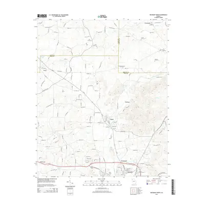
2014 Map of Rockmart North
USGS Topo · Published 2014About this map
Rockmart anchors the southern portion of this Georgia corridor, where industrial centers and rural settlements meet along the winding course of Euharlee Creek. The map documents a high density of ancestral sites, ranging from the large Rockmart Memorial Gardens to smaller family and community burial grounds such as Dickerson Family Cem and the Bethel Crossroads Cem near the northern boundary. The landscape is defined by the convergence of Polk, Floyd, and Bartow counties, with small hubs like Aragon and Portland situated between the elevations of Knox Mountain and the water sources of Fish Creek. A network of historic roads, including the Old Rome Road and Cash Town Road, connects these communities, reflecting the established transit patterns of the region. This 2014 survey captures the late modern character of the area, preserving the locations of rural landmarks like Culver Chapel Cem and Mt Tabor Church Cem within the developing landscape.
Find a feature on this map
145 named features on this map. Tap any name to fly to it.
Don’t see what you’re looking for? This feature index may not catch every label — zoom into the map to look around manually.
Map Details
Editions of this 2014 Rockmart North Map
This is the sole edition of this map. No revisions or reprints were ever made.
Other maps of this area

1886 · Rome
USGS Topo · 1:125,000

1889 · Tallapoosa
USGS Topo · 1:125,000

1890 · Cartersville
USGS Topo · 1:125,000

1891 · Marietta
USGS Topo · 1:125,000

1891 · Cartersville
USGS Topo · 1:125,000

1892 · Tallapoosa
USGS Topo · 1:125,000

1895 · Marietta
USGS Topo · 1:125,000

1896 · Cartersville
USGS Topo · 1:125,000

1897 · Marietta
USGS Topo · 1:125,000

1897 · Tallapoosa
USGS Topo · 1:125,000