2010s Maps of Pulaski County, Georgia
Explore 33 historic maps of Pulaski County from the 2010s. These maps offer a rare glimpse into what life looked like during the 2010s — showing old roads, neighborhoods, homes, and landmarks that have changed or disappeared over time.
Whether you're researching your family's past, planning a metal detecting trip, or studying how Pulaski County's landscape evolved across the 2010s, these high-resolution maps are a powerful tool for exploring the history of this region.
- Focus on a specific era: All maps on this page are from the 2010s, giving you a focused view of this time period.
- See what’s changed: Compare century-old streets, trails, and buildings to today's modern landscape using overlays and satellite layers.
- Research with precision: Use these maps for genealogy, historical research, land use analysis, or educational projects.
- View, download, or print: Maps are fully viewable online in high resolution, and can be downloaded or printed for your own records.
Start exploring Pulaski County's history through authentic maps from the 2010s. This is your window into the past.
Pulaski County, GA maps
(33)- 2011 Map of Empire, 2011 Print
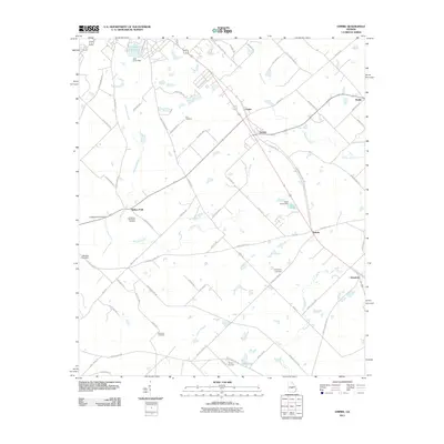 2011 Empire2011 Print · USGSThe crossroads of Empire and Dubois reveal the agricultural and family heritage of Bleckley County in the early twenty-first century. Genealogists and historians can trace family roots at Friendship Cemetery or explore landmarks like Lake Linda and the small settlement of Roddy.
 - 2011 Map of Abbeville North, 2011 Print
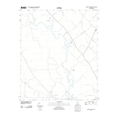 2011 Abbeville North2011 Print · USGSWilcox County in the early twenty-first century remains defined by the winding course of the Ocmulgee River. Local history researchers can trace the roads to rural burial grounds like Mitchell Cemetery and Bowen Cemetery or locate landmarks near Phelps Bluff.
 - 2011 Map of Finleyson West, 2011 Print
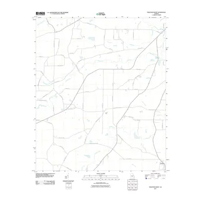 2011 Finleyson West2011 Print · USGSPulaski County’s agricultural heartland is documented here in the early twenty-first century, showing the enduring rural layout of central Georgia. Genealogists and historians can trace local landmarks and school sites like Pulaski High, the Fountain Millpond, and family-named routes such as Owens Store Rd.
 - 2011 Map of Klondike, 2011 Print
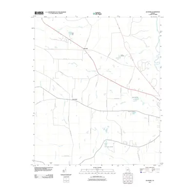 2011 Klondike2011 Print · USGSSoutheast Georgia farmland and the winding Ocmulgee River define this rural landscape during the early twenty-first century. Genealogists and local historians can trace family-named routes like Ruth Bembry Rd and locate the Chandler Mine or Browndale.
 - 2011 Map of West of Eastman, 2011 Print
 2011 West of Eastman2011 Print · USGSDodge County's rural landscape at the start of the twenty-first century is defined by its winding creeks and deep family roots. Genealogists can trace local heritage through numerous burial sites like Lowe Cemetery, Pittman Cemetery, and the settlement at Sandy Hammock.
 - 2011 Map of Hayneville, 2011 Print
 2011 Hayneville2011 Print · USGSHouston County in the early twenty-first century remains a landscape of quiet settlements and winding waterways. Researchers can trace family history at the Hayneville Cemetery or follow the paths of Big Indian Creek and the Ocmulgee River.
 - 2011 Map of Hawkinsville, 2011 Print
 2011 Hawkinsville2011 Print · USGSPulaski County centers on the river crossing between Hawkinsville and Hartford in the early twenty-first century. Genealogists and researchers can trace local family landmarks like Orange Hill Cemetery, Mobley Crossing, and the Pulaski Lookout Tower.
 - 2011 Map of Westlake, 2011 Print
 2011 Westlake2011 Print · USGSBleckley County and the surrounding riverlands are mapped here in the early twenty-first century as the area maintains its traditional rural layout. Local historians can locate ancestral sites such as Walker Cemetery and trace the small communities of Westlake and Royal.
 - 2011 Map of Pineview East, 2011 Print
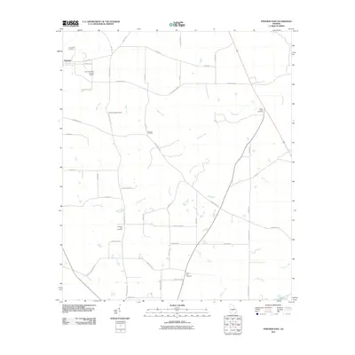 2011 Pineview East2011 Print · USGSWilcox County’s agricultural heartland is documented here in the early 21st century, centered on the settlement of Pineview. Genealogists can locate several regional burial sites including Christian Hill Cemetery and Cedar Creek Cemetery.
 - 2011 Map of Pineview West, 2011 Print
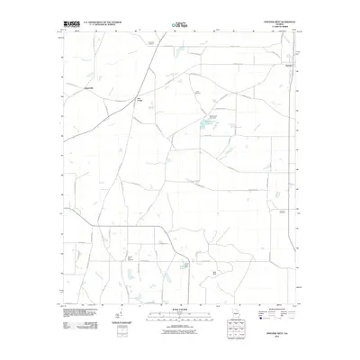 2011 Pineview West2011 Print · USGSWilcox County at the start of the 2010s remains a landscape of deep-rooted rural communities and winding river bottoms. Genealogists and local historians can trace family land near Friendship Cemetery, Tippettville, and the landmark High Rock.
 - 2011 Map of Finleyson East, 2011 Print
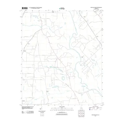 2011 Finleyson East2011 Print · USGSPulaski County’s rural riverlands are captured here in the early twenty-first century, centered on the winding Ocmulgee River. Local historians and genealogists can trace the location of old family burial grounds like Union Cemetery and Bluff Creek Cemetery among the quiet roads of Finleyson.
 - 2014 Map of Pineview East, 2014 Print
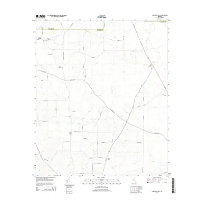 2014 Pineview East2014 Print · USGSWilcox County at the start of the 2010s reveals a deeply rooted rural landscape centered on the settlement of Pineview. Family historians can trace numerous burial sites including Dennard Cemetery, Christian Hope Cemetery, and Liberty Hill Cemetery.
 - 2014 Map of Pineview West, 2014 Print
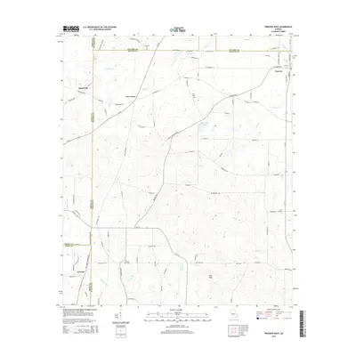 2014 Pineview West2014 Print · USGSWilcox County and its neighbors are captured here in the early twenty-first century, showing the enduring agricultural character of the Georgia interior. Researchers can trace local lineage through sites like City Cem or follow the path of the Alapaha River near Tremont.
 - 2014 Map of Empire, 2014 Print
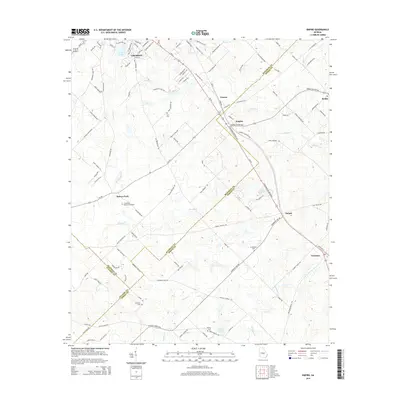 2014 Empire2014 Print · USGSCochran and the rural borderlands of Bleckley, Dodge, and Pulaski counties are captured here in the early twenty-first century. Researchers can trace local lineage through numerous sites like Hart Cem, Simmons Cem, and the crossroads at Gresston.
 - 2014 Map of Finleyson West, 2014 Print
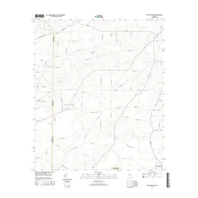 2014 Finleyson West2014 Print · USGSPulaski County’s agricultural heartland is documented here in the early twenty-first century as it borders Wilcox and Dooly counties. Researchers can trace the drainage of Fountain Millpond or locate family lands near Mock Spring and Finleyson.
 - 2014 Map of Westlake, 2014 Print
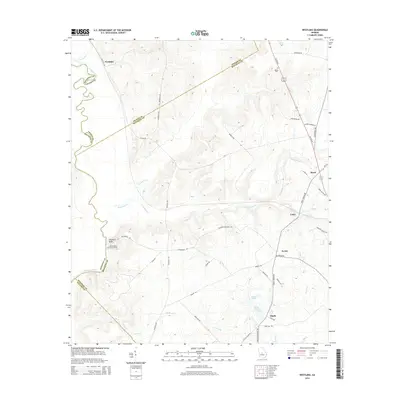 2014 Westlake2014 Print · USGSThe Ocmulgee River bottomlands and the junction of four Georgia counties define this rural landscape during the early twenty-first century. Local historians can trace family-named landmarks like Walker Cemetery and old river settlements at Stephens Bluff and Westlake.
 - 2014 Map of Hawkinsville, 2014 Print
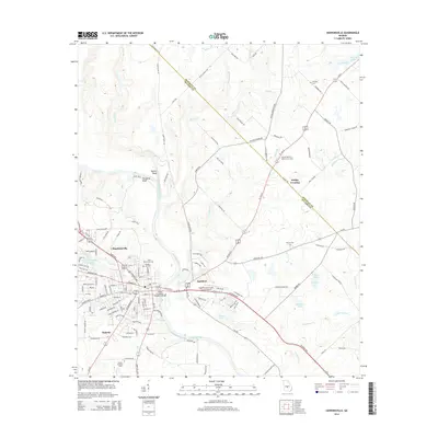 2014 Hawkinsville2014 Print · USGSHawkinsville and the Ocmulgee River valley are captured in detail during this 2010s survey. Researchers can trace rural cemeteries and landmarks like Orange Hill Cem, the Pulaski Lookout Tower, and the settlement at Mobley Crossing.
 - 2014 Map of Hayneville, 2014 Print
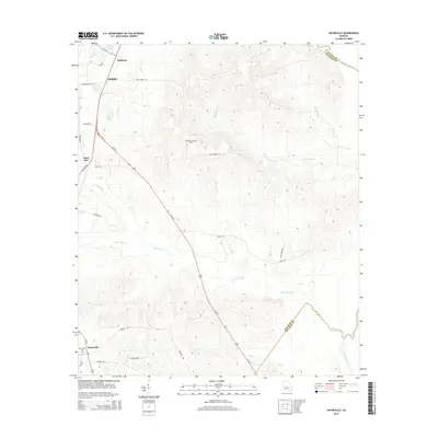 2014 Hayneville2014 Print · USGSHouston County in the early twenty-first century maintains a landscape of creek-fed timberlands and historic crossroads. Researchers can trace family sites near Hayneville Cem, follow the Oemulgee River boundary, or locate the Kathleen Lookout Tower.
 - 2014 Map of West of Eastman, 2014 Print
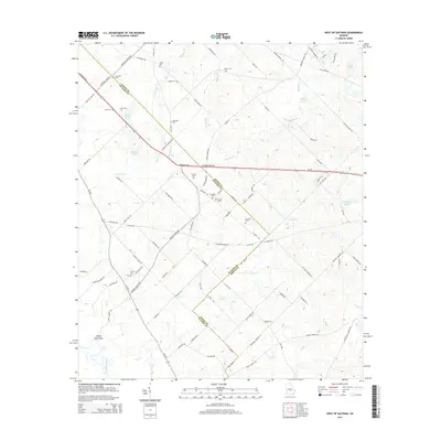 2014 West of Eastman2014 Print · USGSDodge and Pulaski Counties show a deep history of rural settlement in the years following the millennium. Genealogists can locate numerous family burial sites across the landscape, including Lancaster Cem, Daniels Cem, and the riverfront area near Sandy Hammock.
 - 2014 Map of Finleyson East, 2014 Print
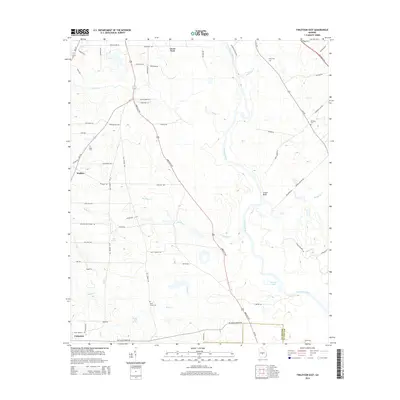 2014 Finleyson East2014 Print · USGSThe rural Ocmulgee River corridor appears here during the early twenty-first century, showing the enduring layout of the Pulaski and Wilcox county borderlands. Genealogists and historians can locate several family burial sites like Union Cem and Sapp Cem or landmarks such as Pappy Jack Spring.
 - 2014 Map of Abbeville North, 2014 Print
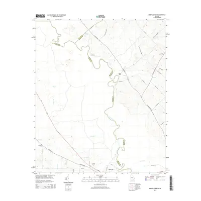 2014 Abbeville North2014 Print · USGSWilcox and Dodge counties are captured here in the early twenty-first century, centered on the winding Ocmulgee River corridor. Genealogists can trace family names and local history through landmarks like Bowen Cemetery, the community of Union, and Poor Robin Spring.
 - 2014 Map of Klondike, 2014 Print
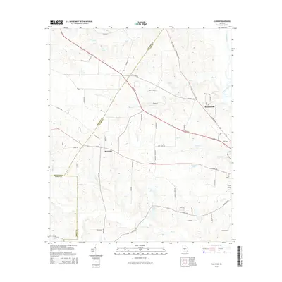 2014 Klondike2014 Print · USGSThe crossroads around Klondike and Browndale are captured here in the early twenty-first century as these rural Georgia communities evolved. Researchers can trace land ownership and water access through features like Miller Pond, Seville Lake, and Nelson Lake.
 - 2017 Map of Pineview East, 2017 Print
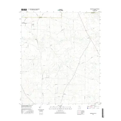 2017 Pineview East2017 Print · USGSPineview and the agricultural lands of Wilcox County are documented here in the early twenty-first century. Researchers can trace local heritage through numerous burial sites like Christian Hill Cem and Cedar Creek Cem along Brushy Cr.
 - 2017 Map of Hawkinsville, 2017 Print
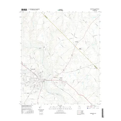 2017 Hawkinsville2017 Print · USGSHawkinsville and the surrounding river lands are shown here in the late 2010s, centered on the vital crossing of the Ocmulgee River. Local researchers can trace family sites like Orange Hill Cem and the small settlements of Hartford and Tippetts.
 - 2017 Map of Klondike, 2017 Print
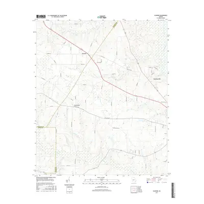 2017 Klondike2017 Print · USGSThe rural borderlands of Pulaski and Dooly Counties appear in detail in the late twenty-tens. Researchers can trace the landscape around Klondike and Browndale, or locate family sites along the Ocmulgee River and Macedonia Church Rd.
Showing maps 1-25 of 33
Top cities of Pulaski County
Frequently asked questions
- What are the different types of historical maps available for Pulaski County?
- What is the oldest map of Pulaski County?
- Where can I purchase historical maps of Pulaski County for my home or office?
- Where can I download high-res historical maps of Pulaski County?
- Are there historical topographic maps available for Pulaski County?
- Is there historical aerial imagery available for Pulaski County?
- Where are historical maps of Pulaski County sourced from?