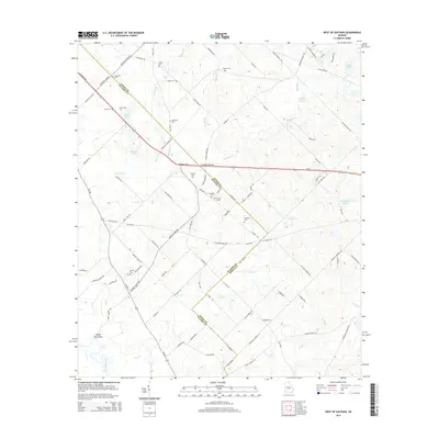
2014 Map of West of Eastman
USGS Topo · Published 2014About this map
The Ocmulgee River winds through the southwestern corner of this landscape along the Pulaski and Dodge County line, defining a region of mixed pine forest and agricultural drainage. This rural interior is marked by a high density of family burial grounds, such as Coody Cem, McAllister Cem, and Rozier Cem, which suggest generations of agricultural settlement and ancestral roots tied to these specific tracts. Local transportation relies on a network of established routes like the Eastman Hwy and Ga-230, connecting the small community of Sandy Hammock to the surrounding countryside.
Find a feature on this map
89 named features on this map. Tap any name to fly to it.
Don’t see what you’re looking for? This feature index may not catch every label — zoom into the map to look around manually.
Map Details
Editions of this 2014 West of Eastman Map
This is the sole edition of this map. No revisions or reprints were ever made.
Other maps of this area

1956 · Cochran
USGS Topo · 1:62,500

1957 · Macon
USGS Topo · 1:250,000

1958 · Macon
USGS Topo · 1:250,000

1964 · Macon
USGS Topo · 1:250,000

1972 · Eastman
USGS Topo · 1:24,000

1972 · Finleyson East
USGS Topo · 1:24,000

1972 · West Of Eastman
USGS Topo · 1:24,000

1972 · Abbeville North
USGS Topo · 1:24,000

1972 · Pineview East
USGS Topo · 1:24,000

1972 · Lake Cypress
USGS Topo · 1:24,000