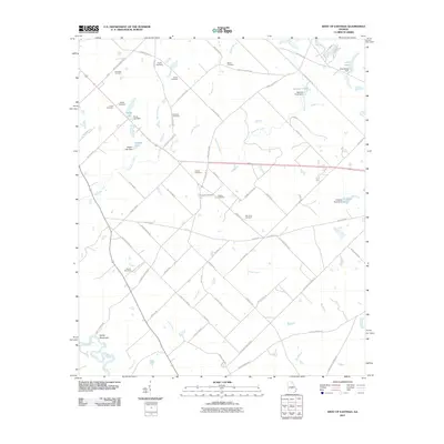
2011 Map of West of Eastman
USGS Topo · Published 2011About this map
Mosquito Creek and its many tributaries, such as Hogpen Branch and Hanley Branch, define the rural landscape of Dodge County in this 2011 survey. The area is characterized by a dense network of family-named cemeteries, including Lancaster Cemetery, Coody Cemetery, and McAlister Cemetery, reflecting generations of local settlement. In the southwest corner, the Ocmulgee River borders the community of Sandy Hammock. Small-scale water management is evident throughout the terrain, with features like Hardy Lake Dam and Bennett Pond Dam creating localized reservoirs. The map captures a transition where traditional land names and rural routes like Zion Hill Church Rd and Antioch Church Rd persist alongside modern geographic data.
Find a feature on this map
72 named features on this map. Tap any name to fly to it.
Don’t see what you’re looking for? This feature index may not catch every label — zoom into the map to look around manually.
Map Details
Editions of this 2011 West of Eastman Map
This is the sole edition of this map. No revisions or reprints were ever made.
Other maps of this area

1956 · Cochran
USGS Topo · 1:62,500

1957 · Macon
USGS Topo · 1:250,000

1958 · Macon
USGS Topo · 1:250,000

1964 · Macon
USGS Topo · 1:250,000

1972 · Eastman
USGS Topo · 1:24,000

1972 · Finleyson East
USGS Topo · 1:24,000

1972 · West Of Eastman
USGS Topo · 1:24,000

1972 · Abbeville North
USGS Topo · 1:24,000

1972 · Pineview East
USGS Topo · 1:24,000

1972 · Lake Cypress
USGS Topo · 1:24,000