Old Maps of Quitman County, Georgia for Genealogy
Trace your family roots with 41 historic maps of Quitman County. These high-res maps reveal old neighborhoods, homesites, landmarks, and streets — helping you uncover where your ancestors lived and how the area evolved over time.
- Explore historic neighborhoods: Identify where your relatives may have lived in the 1800s or 1900s.
- Compare maps over time: Trace the changes in streets, buildings, and landmarks for multi-generational research.
- Perfect for genealogy & ancestry research: Used by family historians and researchers to map out lineage and migration.
These maps are an incredible resource for exploring your personal connection to Quitman County's past.
Quitman County, GA maps
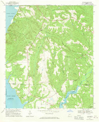
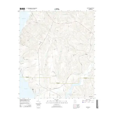
(41)- 1953 Map of Dothan, 1966 Print
 1953 Dothan1966 Print · USGSSoutheast Alabama and Southwest Georgia are captured during a period of massive hydraulic and military expansion in the mid-fifties. Genealogists and historians can trace rural landmarks like Antioch Church and School, the Andrew Jackson Monument, and the early footprint of Fort Rucker Military Reservation.3 unique versions available
 - 1954 Map of Dothan
 1954 Dothan1954 Print · USGSSoutheast Alabama and Southwest Georgia are seen here in the mid-fifties, during a decade of military expansion and rural transition. Genealogists can trace the location of country schools like Little Zion School or the grounds of Kolomoki Mounds State Park.
 - 1955 Map of Dothan
 1955 Dothan1955 Print · USGSSoutheast Alabama and Southwest Georgia are captured here in the mid-fifties, showing a landscape of river-port history and growing military bases. Researchers can trace rural life via the Andrew Jackson Monument, Bauxite mines, and the Central of Georgia RR.
 - 1967 Map of Hatcher, 1970 Print
 1967 Hatcher1970 Print · USGSCoastal Quitman and Clay Counties appear here in the late sixties as the reservoir reshaped the riverfront landscape. Researchers can locate family landmarks like Ricks Place and Old Pataula Cem, or trace the path of the Central of Georgia railroad.
 - 1967 Map of Georgetown, 1970 Print
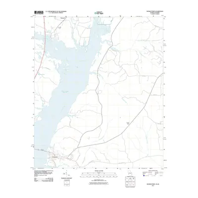
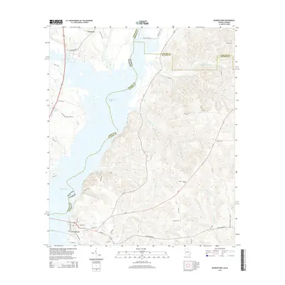
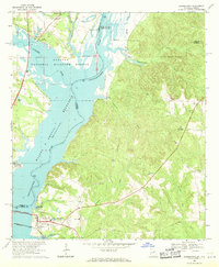 1967 Georgetown1970 Print · USGSThe Quitman County shoreline underwent a dramatic shift in the late sixties as the Chattahoochee River valley was reshaped by new reservoirs. Researchers can trace the submerged geography near Georgetown and locate rural landmarks like Keglar Sch or Bumbleton Courthouse Cem.2 unique versions available
 - 1968 Map of Eufaula North, 1970 Print
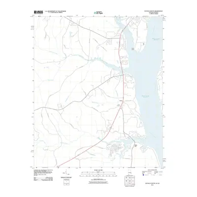
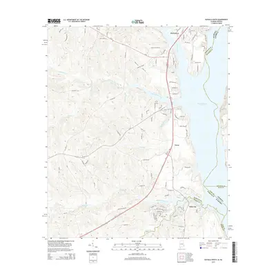
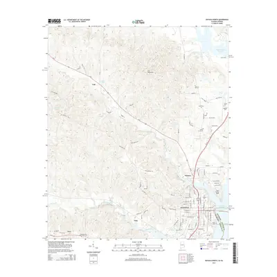
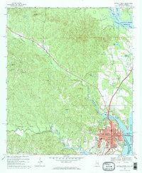 1968 Eufaula North1970 Print · USGSThe Alabama-Georgia borderlands near Eufaula are captured here in the late sixties, just as the reservoir reshaped the riverfront. Researchers can trace family roots at St James Ch, Shorter Cem, and the historic rail corridor of the Central of Georgia.2 unique versions available
 - 1968 Map of Eufaula South, 1970 Print
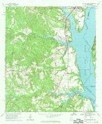 1968 Eufaula South1970 Print · USGSNear the Alabama-Georgia border in the late sixties, the landscape around the reservoir reveals a mix of river industry and deep-rooted rural life. Genealogists and local historians can trace the Old Indian Treaty Bdy and locate landmarks like Bluff City Sch and Epworth Ch.2 unique versions available
 - 1972 Map of Sanford, 1974 Print
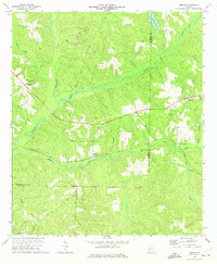
 1972 Sanford1974 Print · USGSThe rural borderlands of Stewart and Quitman counties are captured in the early 1970s, showcasing a landscape where industry meets traditional country life. Researchers can trace local congregations at Davis Chapel and Mill Bethel Ch or locate family landmarks like Pearces Pond.
 - 1973 Map of Morris, 1974 Print
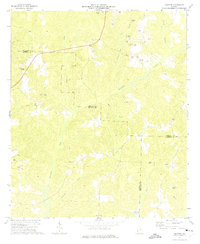
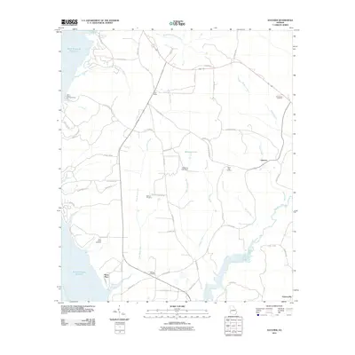
 1973 Morris1974 Print · USGSAcross Quitman and Randolph counties in the early seventies, this survey captures a rural landscape shaped by the rail and mining industries. Genealogists and local historians can trace the foundations of Morris, Springvale, and Mt Zion Ch alongside active strip mines.
 - 1981 Map of Albany, 1982 Print
 1981 Albany1982 Print · USGSSouthwest Georgia in the early eighties was a region defined by its rail hubs and winding river systems. Here you can trace the agricultural landscape from Albany to Dawson, locating sites like Radium Springs, the U S Naval Reservation, and the historic junction at Shellman.
 - 1981 Map of Troy, 1982 Print
 1981 Troy1982 Print · USGSThe Chattahoochee River valley and the wiregrass region of Alabama come alive in the early eighties as the Walter F George Reservoir reshapes the eastern border. Genealogists can trace family roots through historic railroad towns like Brundidge and Louisville or explore the rural surroundings of Blue Springs State Park.
 - 2011 Map of Georgetown, 2011 Print
 2011 Georgetown2011 Print · USGSCovers Quitman County, including Eufaula, Georgetown, and other nearby areas
 - 2011 Map of Hatcher, 2011 Print
 2011 Hatcher2011 Print · USGSCovers Quitman County, including Georgetown, Ricks Place, and other nearby areas
 - 2011 Map of Eufaula South, 2011 Print
 2011 Eufaula South2011 Print · USGSCovers Quitman County, including Eufaula, Terese, and other nearby areas2 unique versions available
 - 2011 Map of Eufaula North, 2011 Print
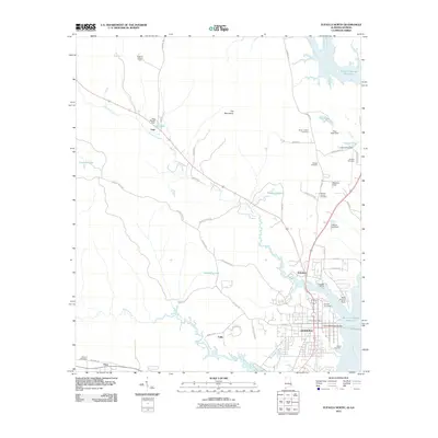 2011 Eufaula North2011 Print · USGSCovers Quitman County, including Eufaula, Georgetown, and other nearby areas2 unique versions available
 - 2011 Map of Morris, 2011 Print
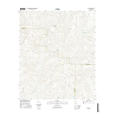
 2011 Morris2011 Print · USGSCovers Quitman County, including Crossroads, Morris, and other nearby areas
 - 2011 Map of Sanford, 2011 Print
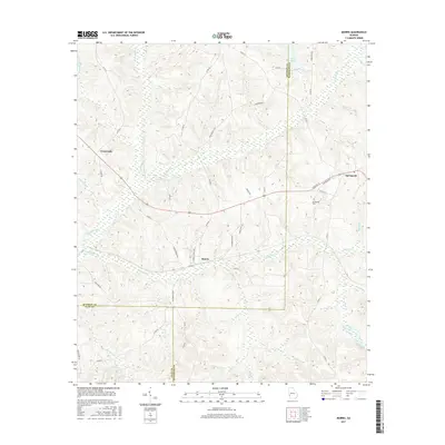
 2011 Sanford2011 Print · USGSCovers Quitman County, including Sanford, Union, and other nearby areas
 - 2014 Map of Hatcher, 2014 Print
 2014 Hatcher2014 Print · USGSCovers Quitman County, including Georgetown, Ricks Place, and other nearby areas
 - 2014 Map of Georgetown, 2014 Print
 2014 Georgetown2014 Print · USGSCovers Quitman County, including Eufaula, Georgetown, and other nearby areas
 - 2014 Map of Morris, 2014 Print
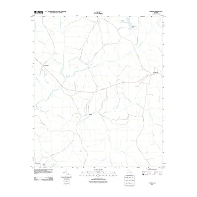
 2014 Morris2014 Print · USGSCovers Quitman County, including Crossroads, Morris, and other nearby areas
 - 2014 Map of Sanford, 2014 Print
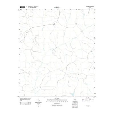
 2014 Sanford2014 Print · USGSCovers Quitman County, including Sanford, Union, and other nearby areas
 - 2014 Map of Eufaula South, 2014 Print
 2014 Eufaula South2014 Print · USGSCovers Quitman County, including Eufaula, Terese, and other nearby areas
 - 2014 Map of Eufaula North, 2014 Print
 2014 Eufaula North2014 Print · USGSCovers Quitman County, including Eufaula, Georgetown, and other nearby areas
 - 2017 Map of Morris, 2017 Print
 2017 Morris2017 Print · USGSCovers Quitman County, including Crossroads, Morris, and other nearby areas
 - 2017 Map of Sanford, 2017 Print
 2017 Sanford2017 Print · USGSCovers Quitman County, including Sanford, Union, and other nearby areas
Showing maps 1-25 of 41
Top cities of Quitman County
Frequently asked questions
- What are the different types of historical maps available for Quitman County?
- What is the oldest map of Quitman County?
- Where can I purchase historical maps of Quitman County for my home or office?
- Where can I download high-res historical maps of Quitman County?
- Are there historical topographic maps available for Quitman County?
- Is there historical aerial imagery available for Quitman County?
- Where are historical maps of Quitman County sourced from?