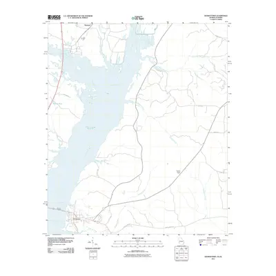
2011 Map of Georgetown
USGS Topo · Published 2011About this map
The Chattahoochee River corridor dominates this landscape, where the waters widen into the Walter F George Reservoir along the Georgia-Alabama border. The settlement of Georgetown sits at a strategic junction near the Vandiver Causeway, serving as a gateway between the two states. This 2011 survey captures the intricate shoreline of the reservoir, revealing numerous inlets and fingers where local drainages like Cowikee Creek and Wylaunee Creek meet the main pool.
Find a feature on this map
24 named features on this map. Tap any name to fly to it.
Don’t see what you’re looking for? This feature index may not catch every label — zoom into the map to look around manually.
Map Details
Editions of this 2011 Georgetown Map
This is the sole edition of this map. No revisions or reprints were ever made.
Other maps of this area

1950 · Lumpkin SW
USGS Topo · 1:24,000

1950 · Lumpkin
USGS Topo · 1:62,500

1953 · Dothan
USGS Topo · 1:250,000

1954 · Dothan
USGS Topo · 1:250,000

1955 · Dothan
USGS Topo · 1:250,000

1955 · Lumpkin SW
USGS Topo · 1:24,000

1955 · Lumpkin
USGS Topo · 1:62,500

1955 · Phenix City
USGS Topo · 1:250,000

1957 · Phenix City
USGS Topo · 1:250,000

1958 · Phenix City
USGS Topo · 1:250,000