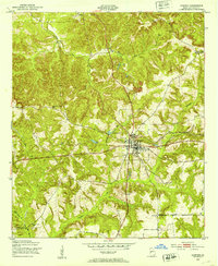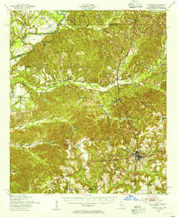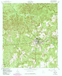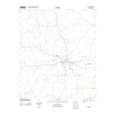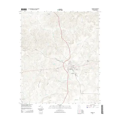
1955 Map of Lumpkin
USGS Topo · Published 1961About this map
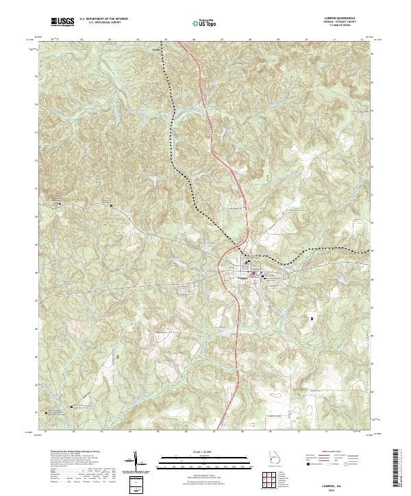
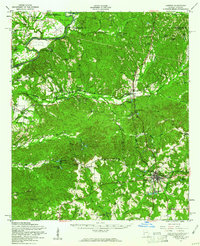
The Chattahoochee River defines the western edge of this mid-century landscape where Georgia meets Alabama. Centered on the town of Lumpkin, the map reveals a deeply eroded terrain characterized by the Providence Canyons and the unique depressions of North Glory Hole and South Glory Hole. This era of the county's history shows a dispersed network of family-named homesteads such as Heard Place and Perkins Place, alongside numerous country churches and cemeteries like Wesley Chapel and Ebenezer Cem that anchor the rural community.
Find a feature on this map
78 named features on this map. Tap any name to fly to it.
Don’t see what you’re looking for? This feature index may not catch every label — zoom into the map to look around manually.
Map Details
Editions of this 1955 Lumpkin Map
This is the sole edition of this map. No revisions or reprints were ever made.
Historical Maps of Lumpkin Through Time
9 maps found