Old Maps of Screven County, Georgia
Explore 54 old maps of Screven County, spanning from 1918 to today. These high-resolution historic maps reveal how streets, neighborhoods, landmarks, and natural features evolved over time — perfect for genealogy, metal detecting, research, and local history exploration.
What you can do with these maps:
- See how Screven County changed over time: Compare historical maps to modern-day views to trace roads, homesites, rail lines & more.
- View detailed metadata: Each map includes creators, publishers, year, scale, and archive source.
- Overlay maps with satellite & LiDAR: Visualize the past alongside modern tools to explore terrain & human change.
- Trusted historical sources: Maps sourced from the USGS, Library of Congress, and other archives.
- Access maps your way: View online, download high-res files, or order prints for personal or research use.
Start exploring old maps of Screven County to uncover forgotten places, hidden landmarks, and the deep history beneath your feet.
Screven County, GA maps
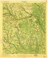
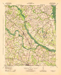
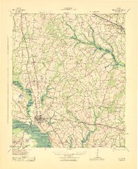
(54)- 1918 Map of Oliver, 1972 Print
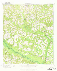 1918 Oliver1972 Print · USGSCovers Screven County, including Sylvania, Newington, and other nearby areas
 - 1919 Map of Allendale
 1919 Allendale1919 Print · USGSCovers Screven County, including Barnwell, Allendale, and other nearby areas3 unique versions available
 - 1919 Map of Shirley, 1942 Print
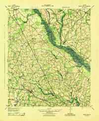
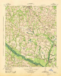
 1919 Shirley1942 Print · USGSCovers Screven County, including Estill, Newington, and other nearby areas
 - 1920 Map of Ellenton
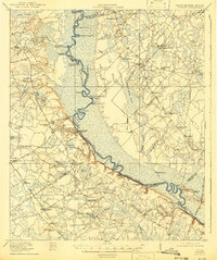
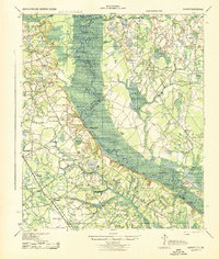
 1920 Ellenton1920 Print · USGSCovers Screven County, including Girard, Millett, and other nearby areas
 - 1920 Map of Hilltonia
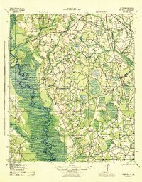
 1920 Hilltonia1920 Print · USGSCovers Screven County, including Sylvania, Sardis, and other nearby areas3 unique versions available
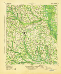
 - 1920 Map of Millen
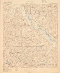
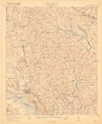 1920 Millen1920 Print · USGSCovers Screven County, including Millen, Sardis, and other nearby areas2 unique versions available
 - 1920 Map of Oliver
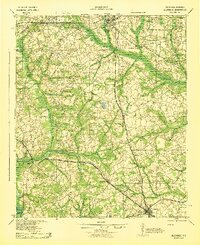
 1920 Oliver1920 Print · USGSCovers Screven County, including Sylvania, Newington, and other nearby areas2 unique versions available
 - 1920 Map of Peeples
 1920 Peeples1920 Print · USGSCovers Screven County, including Allendale, Fairfax, and other nearby areas2 unique versions available
 - 1921 Map of Brooklet
 1921 Brooklet1921 Print · USGSCovers Screven County, including Statesboro, Brooklet, and other nearby areas2 unique versions available
 - 1921 Map of Rocky Ford
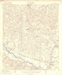
 1921 Rocky Ford1921 Print · USGSCovers Screven County, including Portal, Rocky Ford, and other nearby areas2 unique versions available
 - 1921 Map of Ellenton
 1921 Ellenton1921 Print · USGSCovers Screven County, including Girard, Millett, and other nearby areas
 - 1943 Map of Brooklet
 1943 Brooklet1943 Print · USGSCovers Screven County, including Statesboro, Brooklet, and other nearby areas
 - 1943 Map of Allendale
 1943 Allendale1943 Print · USGSCovers Screven County, including Barnwell, Allendale, and other nearby areas
 - 1943 Map of Hilltonia
 1943 Hilltonia1943 Print · USGSCovers Screven County, including Sylvania, Sardis, and other nearby areas
 - 1943 Map of Peeples
 1943 Peeples1943 Print · USGSCovers Screven County, including Allendale, Fairfax, and other nearby areas
 - 1943 Map of Rocky Ford
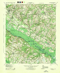
 1943 Rocky Ford1943 Print · USGSCovers Screven County, including Portal, Rocky Ford, and other nearby areas
 - 1943 Map of Shirley
 1943 Shirley1943 Print · USGSCovers Screven County, including Estill, Newington, and other nearby areas
 - 1943 Map of Millen
 1943 Millen1943 Print · USGSCovers Screven County, including Millen, Sardis, and other nearby areas
 - 1943 Map of Augusta East
 1943 Augusta East1943 Print · USGSCovers Screven County, including Augusta, Aiken, and other nearby areas
 - 1943 Map of Millen
 1943 Millen1943 Print · USGSCovers Screven County, including Millen, Sylvania, and other nearby areas
 - 1943 Map of Oliver
 1943 Oliver1943 Print · USGSCovers Screven County, including Sylvania, Newington, and other nearby areas
 - 1944 Map of Ellenton
 1944 Ellenton1944 Print · USGSCovers Screven County, including Girard, Millett, and other nearby areas
 - 1947 Map of Savannah
 1947 Savannah1947 Print · USGSCovers Screven County, including Charleston, Savannah, and other nearby areas
 - 1948 Map of Savannah
 1948 Savannah1948 Print · USGSCovers Screven County, including Charleston, Savannah, and other nearby areas
 - 1954 Map of Augusta
 1954 Augusta1954 Print · USGSCovers Screven County, including Augusta, Columbia, and other nearby areas
Showing maps 1-25 of 54
Top cities of Screven County
- Sylvania historical maps
- Hiltonia historical maps
- Newington historical maps
- Oliver historical maps
- Rocky Ford historical maps
Frequently asked questions
- What are the different types of historical maps available for Screven County?
- What is the oldest map of Screven County?
- Where can I purchase historical maps of Screven County for my home or office?
- Where can I download high-res historical maps of Screven County?
- Are there historical topographic maps available for Screven County?
- Is there historical aerial imagery available for Screven County?
- Where are historical maps of Screven County sourced from?