2000s (21st Century) Maps of Toccoa, Georgia
Explore 15 historic maps of Toccoa from the 2000s (21st Century). These maps offer a rare glimpse into what life looked like during the 2000s — showing old roads, neighborhoods, homes, and landmarks that have changed or disappeared over time.
Whether you're researching your family's past, planning a metal detecting trip, or studying how Toccoa's landscape evolved across the 2000s, these high-resolution maps are a powerful tool for exploring the history of this region.
- Focus on a specific era: All maps on this page are from the 2000s, giving you a focused view of this time period.
- See what’s changed: Compare century-old streets, trails, and buildings to today's modern landscape using overlays and satellite layers.
- Research with precision: Use these maps for genealogy, historical research, land use analysis, or educational projects.
- View, download, or print: Maps are fully viewable online in high resolution, and can be downloaded or printed for your own records.
Start exploring Toccoa's history through authentic maps from the 2000s. This is your window into the past.
Toccoa, GA maps
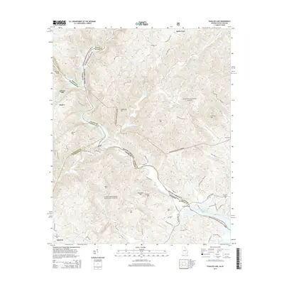
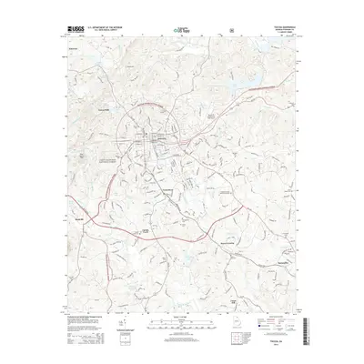
(15)- 2011 Map of Toccoa, 2011 Print
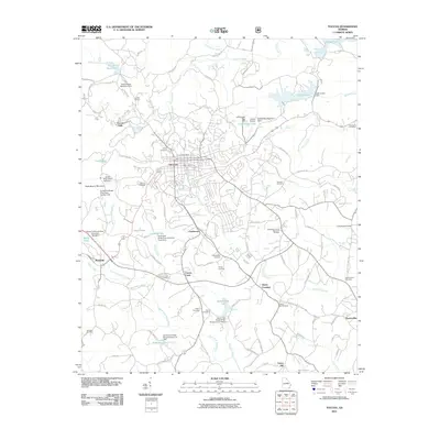 2011 Toccoa2011 Print · USGSCovers Toccoa, including Union Hill, Boydville, and other nearby areas
 - 2011 Map of Ayersville, 2011 Print
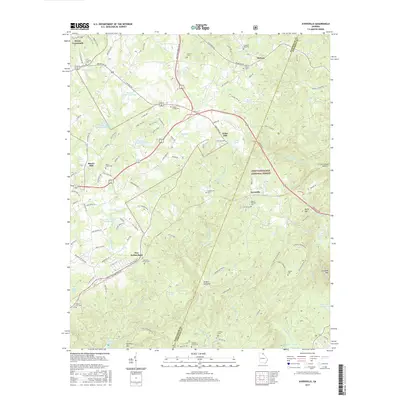
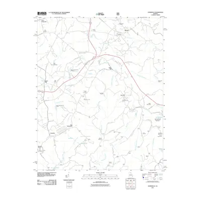 2011 Ayersville2011 Print · USGSCovers Toccoa, including Mount Airy, Ayersville, and other nearby areas
 - 2011 Map of Tugaloo Lake, 2011 Print
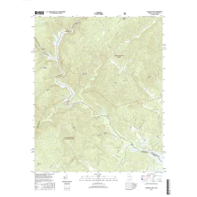
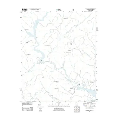 2011 Tugaloo Lake2011 Print · USGSCovers Toccoa, including Tallulah Falls, Tugaloo, and other nearby areas
 - 2014 Map of Ayersville, 2014 Print
 2014 Ayersville2014 Print · USGSCovers Toccoa, including Mount Airy, Ayersville, and other nearby areas
 - 2014 Map of Tugaloo Lake, 2014 Print
 2014 Tugaloo Lake2014 Print · USGSCovers Toccoa, including Tallulah Falls, Tugaloo, and other nearby areas
 - 2014 Map of Toccoa, 2014 Print
 2014 Toccoa2014 Print · USGSCovers Toccoa, including Union Hill, Boydville, and other nearby areas
 - 2017 Map of Ayersville, 2017 Print
 2017 Ayersville2017 Print · USGSCovers Toccoa, including Mount Airy, Ayersville, and other nearby areas
 - 2017 Map of Tugaloo Lake, 2017 Print
 2017 Tugaloo Lake2017 Print · USGSCovers Toccoa, including Tallulah Falls, Tugaloo, and other nearby areas
 - 2017 Map of Toccoa, 2017 Print
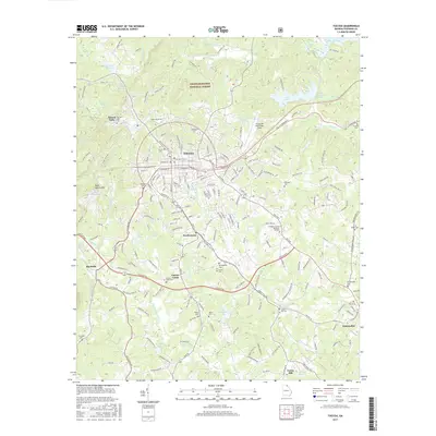 2017 Toccoa2017 Print · USGSCovers Toccoa, including Union Hill, Boydville, and other nearby areas
 - 2020 Map of Toccoa, 2020 Print
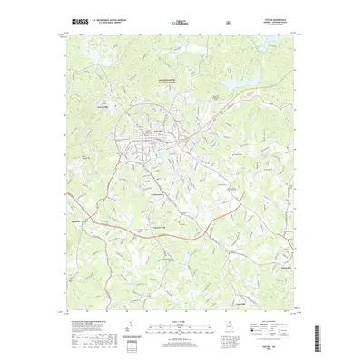 2020 Toccoa2020 Print · USGSCovers Toccoa, including Union Hill, Boydville, and other nearby areas
 - 2020 Map of Ayersville, 2020 Print
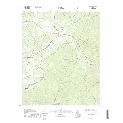 2020 Ayersville2020 Print · USGSCovers Toccoa, including Mount Airy, Ayersville, and other nearby areas
 - 2020 Map of Tugaloo Lake, 2020 Print
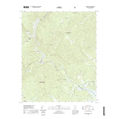 2020 Tugaloo Lake2020 Print · USGSCovers Toccoa, including Tallulah Falls, Tugaloo, and other nearby areas
 - 2024 Map of Ayersville, 2024 Print
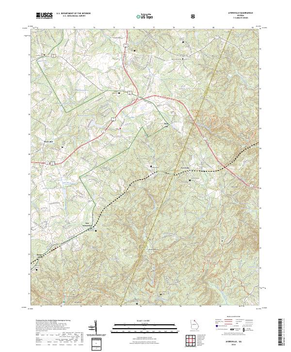 2024 Ayersville2024 Print · USGSGeorgia's upland borderlands near the turn of the millennium reveal a landscape of dispersed mountain settlements and national forest lands. Local researchers can trace family landmarks like Welcome Home Cem and the small community of New Switzerland near the banks of Hazel Creek.
 - 2024 Map of Toccoa, 2024 Print
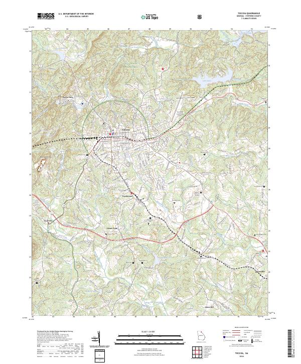 2024 Toccoa2024 Print · USGSToccoa and the surrounding Georgia foothills appear in great detail during this contemporary period. Genealogists can locate family landmarks like Philadelphia Cem, Stonecypher Cem, and the historic Toccoa Falls College.
 - 2024 Map of Tugaloo Lake, 2024 Print
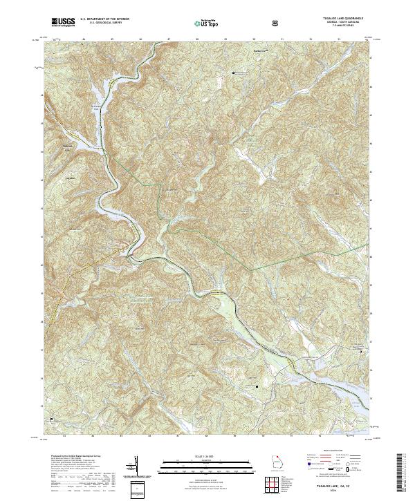 2024 Tugaloo Lake2024 Print · USGSThe Georgia and South Carolina borderlands appear in high detail at the confluence of the Tallulah River and Tugaloo River. Researchers can trace local lineage at Damascus Baptist Church Graveyard or find the river crossing at McCracken Ford.
End of results
Showing maps 1-15 of 15
Top cities near Toccoa
- Cornelia historical maps
- Baldwin historical maps
- Westminster historical maps
- Lavonia historical maps
- Clarkesville historical maps
- Demorest historical maps
See more
Top neighborhoods of Toccoa
Frequently asked questions
- What are the different types of historical maps available for Toccoa?
- What is the oldest map of Toccoa?
- Where can I purchase historical maps of Toccoa for my home or office?
- Where can I download high-res historical maps of Toccoa?
- Are there historical topographic maps available for Toccoa?
- Is there historical aerial imagery available for Toccoa?
- Where are historical maps of Toccoa sourced from?