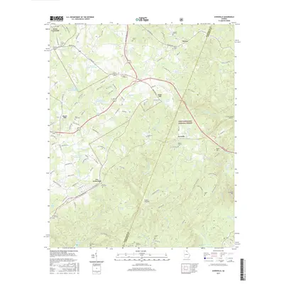
2017 Map of Ayersville
USGS Topo · Published 2017About this map
Chattahoochee National Forest spans the eastern portion of this map, where the terrain transitions from the heights of Dicks Hill and Currahee Mtn down toward the Middle Fork Broad River. The landscape is a network of small family cemeteries and rural crossroads, reflecting the generational settlement patterns of Habersham and Stephens Counties. Genealogists will find numerous burial sites, including Welcome Home Cem, Laudermilk Cem, and Glade Creek Cem scattered near quiet settlements like Ayersville and New Switzerland. Water is central to the area's geography, with the Nancy Town Cr drainage feeding into Nancy Town Lake and Ducket Lake. The map also captures several man-made reservoirs and historical landmarks like Shorts Mill and the junction at Dixon Crossroads.
Find a feature on this map
122 named features on this map. Tap any name to fly to it.
Don’t see what you’re looking for? This feature index may not catch every label — zoom into the map to look around manually.
Map Details
Editions of this 2017 Ayersville Map
This is the sole edition of this map. No revisions or reprints were ever made.
Other maps of this area

1886 · Dahlonega
USGS Topo · 1:125,000

1886 · Walhalla
USGS Topo · 1:125,000

1891 · Gainesville
USGS Topo · 1:125,000

1891 · Carnesville
USGS Topo · 1:125,000

1892 · Dahlonega
USGS Topo · 1:125,000

1892 · Walhalla
USGS Topo · 1:125,000

1896 · Walhalla
USGS Topo · 1:125,000

1896 · Dahlonega
USGS Topo · 1:125,000

1903 · Dahlonega
USGS Topo · 1:125,000

1953 · Tallulah Falls
USGS Topo · 1:24,000