
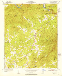
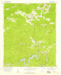
1953 Map of Tallulah Falls
USGS Topo · Published 1954About this map
Tallulah River Gorge and its surrounding mountain ridges dominate this mid-century portrait of Northeast Georgia. The town of Tallulah Falls serves as a focal point where the Incline Railway and a prominent electrical Substation mark the early industrialization of the river's descent. Settlement patterns follow the high ground and winding watercourses, anchored by community institutions like the Tallulah Falls Sch and various rural congregations including Shirley Grove and New Liberty Ch.
Find a feature on this map
58 named features on this map. Tap any name to fly to it.
Don’t see what you’re looking for? This feature index may not catch every label — zoom into the map to look around manually.
Map Details
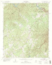
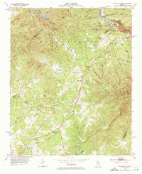
Editions of this 1953 Tallulah Falls Map
4 editions found
Other maps of this area

1886 · Dahlonega
USGS Topo · 1:125,000

1886 · Walhalla
USGS Topo · 1:125,000

1892 · Dahlonega
USGS Topo · 1:125,000

1892 · Walhalla
USGS Topo · 1:125,000

1896 · Walhalla
USGS Topo · 1:125,000

1896 · Dahlonega
USGS Topo · 1:125,000

1903 · Dahlonega
USGS Topo · 1:125,000

1954 · Greenville
USGS Topo · 1:250,000
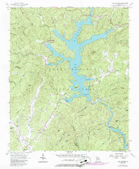
1957 · Lake Burton
USGS Topo · 1:24,000
1957 · Tiger
USGS Topo · 1:24,000