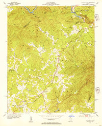
1953 Map of Tallulah Falls
USGS Topo · Published 1954About this map
Tallulah Gorge and the sharp descent of the Tallulah River dominate this mid-century topographic record of the Georgia mountains. The rugged geography is defined by prominent peaks like Apple Pie Mtn and Hickory Nut Mtn, while the Tallulah Falls railroad line winds through the central corridor, connecting the settlements of Hollywood, Turnerville, and the town of Tallulah Falls itself. The map captures a transition from wild river features, such as Cascade Falls, to the industrial presence of the Substation and Incline Railway. Genealogists will find significant local landmarks including the New Liberty Ch, Ebenezer Ch, and the Kollock Cem. This landscape reflects the intersection of early tourism near the falls and the established rural communities scattered along Deep Creek and Panther Creek.
Find a feature on this map
58 named features on this map. Tap any name to fly to it.
Don’t see what you’re looking for? This feature index may not catch every label — zoom into the map to look around manually.
Map Details
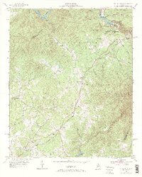
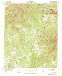
Editions of this 1953 Tallulah Falls Map
4 editions found
Other maps of this area

1886 · Dahlonega
USGS Topo · 1:125,000

1886 · Walhalla
USGS Topo · 1:125,000

1892 · Dahlonega
USGS Topo · 1:125,000

1892 · Walhalla
USGS Topo · 1:125,000

1896 · Walhalla
USGS Topo · 1:125,000

1896 · Dahlonega
USGS Topo · 1:125,000

1903 · Dahlonega
USGS Topo · 1:125,000

1953 · Tallulah Falls
USGS Topo · 1:24,000

1954 · Greenville
USGS Topo · 1:250,000
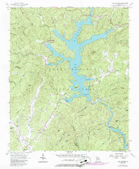
1957 · Lake Burton
USGS Topo · 1:24,000