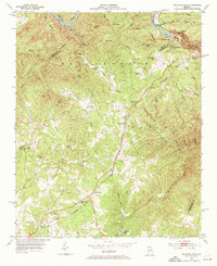
1953 Map of Tallulah Falls
USGS Topo · Published 1972About this map
Tallulah Falls and the dramatic canyon of the Tallulah Gorge anchor this 1953 survey of the Northeast Georgia mountains. The landscape reveals the intersection of early tourism and industrial development, featuring the Incline Railway and the Tallulah Lodge alongside the infrastructure of the Tallulah Lake reservoir. Education and faith are central to the mountain communities, evidenced by the Tallulah Falls Sch and a network of country churches including New Liberty Ch and Ebenezer Ch.
Find a feature on this map
57 named features on this map. Tap any name to fly to it.
Don’t see what you’re looking for? This feature index may not catch every label — zoom into the map to look around manually.
Map Details
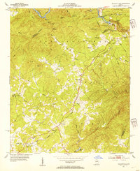
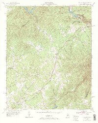
Editions of this 1953 Tallulah Falls Map
4 editions found
Other maps of this area

1886 · Dahlonega
USGS Topo · 1:125,000

1886 · Walhalla
USGS Topo · 1:125,000

1892 · Dahlonega
USGS Topo · 1:125,000

1892 · Walhalla
USGS Topo · 1:125,000

1896 · Walhalla
USGS Topo · 1:125,000

1896 · Dahlonega
USGS Topo · 1:125,000

1903 · Dahlonega
USGS Topo · 1:125,000

1953 · Tallulah Falls
USGS Topo · 1:24,000

1954 · Greenville
USGS Topo · 1:250,000
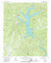
1957 · Lake Burton
USGS Topo · 1:24,000