Old Maps of Beatrice, Georgia for Hiking & Exploration
Hike through history with 13 historic maps of Beatrice. Explore old trails, ghost towns, and forgotten backroads — perfect for outdoor adventurers and local explorers.
- Rediscover forgotten places: Map out old mining camps, roads, and footpaths that no longer exist on modern maps.
- Layer with modern tools: Combine with LiDAR or satellite views to plan hikes through historical terrain.
- Made for exploration: Popular among hikers, overlanders, and local history lovers.
Use these maps to find adventure and explore the hidden past of Beatrice.
Beatrice, GA maps
(13)- 1950 Map of Lumpkin SW, 1953 Print
 1950 Lumpkin SW1953 Print · USGSStewart County's rural landscape is captured here in the early postwar era, showing the intersection of agricultural life and the region's unique geology. Researchers can trace family history through sites like the James Templeton Cem, Beatrice, and Providence Canyons.
 - 1950 Map of Lumpkin, 1955 Print
 1950 Lumpkin1955 Print · USGSStewart County and the Chattahoochee River valley appear in the mid-fifties as a landscape of deep canyons, family farmsteads, and rail-side settlements. Researchers can trace local genealogy through numerous sites like Fitzgerald Cem, Oak Grove Sch, and Ushers Mill Pond.
 - 1955 Map of Lumpkin SW, 1959 Print
 1955 Lumpkin SW1959 Print · USGSMid-century Stewart County remains a landscape of rural schoolhouses and country churches set against the dramatic erosion of the Providence Canyons. Researchers can locate historic family sites and community hubs like James Templeton Cem, Bryan Sch, and Wesley Chapel.4 unique versions available
 - 1955 Map of Lumpkin, 1961 Print
 1955 Lumpkin1961 Print · USGSIn the mid-1950s, this portion of Stewart County was defined by its dramatic geology and rural church networks. Genealogists and historians can trace family land at Heard Place, locate the Louvale Station on the Seaboard Air Line, or find the Providence Canyons.
 - 1955 Map of Phenix City, 1964 Print
 1955 Phenix City1964 Print · USGSPost-war Alabama and Georgia meet along the Chattahoochee River as industry and military installations expand. Trace the rail lines of the Central of Georgia through towns like Opelika, Tuskegee, and Alexander City.3 unique versions available
 - 1957 Map of Phenix City
 1957 Phenix City1957 Print · USGSThe Alabama-Georgia borderlands are captured here in the mid-fifties, centered on the bustling river crossing at Phenix City and Columbus. Researchers can trace the mid-century footprint of the Fort Benning Military Reservation or locate smaller textile and railroad towns like Langdale and Camp Hill.
 - 1958 Map of Phenix City
 1958 Phenix City1958 Print · USGSThe Alabama-Georgia borderlands thrive during the late fifties, anchored by the river-driven industry of Columbus and Phenix City. Researchers can trace the mid-century footprints of Fort Benning, Auburn, and the textile towns of Fairfax and Lanett.
 - 1981 Map of Americus, 1982 Print
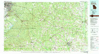 1981 Americus1982 Print · USGSWest Georgia and East Alabama appear here during the early 1980s, showcasing the transition from military reservation to agricultural heartland. Researchers can trace the Central of Georgia rail lines through towns like Plains, Ellaville, and the historic site of Andersonville.
 - 2011 Map of Lumpkin SW, 2011 Print
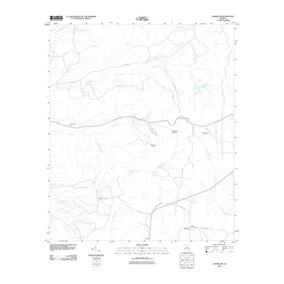 2011 Lumpkin SW2011 Print · USGSStewart County, Georgia, remains a rural landscape defined by unique erosion and quiet settlements in the early twenty-first century. Researchers can locate family heritage sites like the James Templeton Cemetery or explore the geography of Providence Canyons and Patterson Hills.
 - 2014 Map of Lumpkin SW, 2014 Print
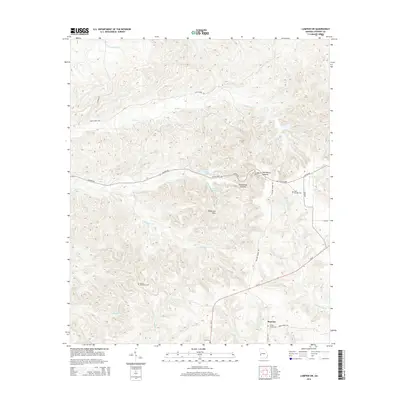 2014 Lumpkin SW2014 Print · USGSStewart County, Georgia, is documented here in the modern era, showcasing its distinctive canyon topography and rural settlement patterns. Genealogists can locate family landmarks like James Templeton Cem and Wesley Chapel Cem near Beatrice.
 - 2017 Map of Lumpkin SW, 2017 Print
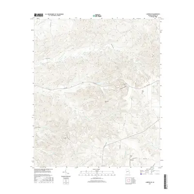 2017 Lumpkin SW2017 Print · USGSWestern Stewart County in the twenty-first century reveals a landscape defined by the Providence Canyons and the rural settlement of Beatrice. Researchers can trace local lineage through the James Templeton Cem, Bluff Springs Cem, and the many creeks feeding the regional basin.
 - 2020 Map of Lumpkin SW, 2020 Print
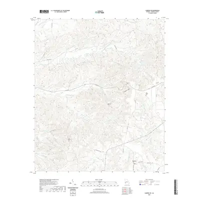 2020 Lumpkin SW2020 Print · USGSStewart County, Georgia, is shown here as it appeared recently, centered on the dramatic erosion of the Providence Canyons. Genealogists and historians can trace local family landmarks and rural settlements like Beatrice, Elam Cem, and the James Templeton Cem.
 - 2024 Map of Lumpkin SW, 2024 Print
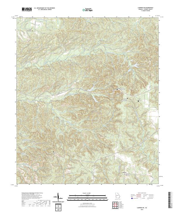 2024 Lumpkin SW2024 Print · USGSStewart County's rural communities and dramatic geology are documented in this recent survey. Researchers can trace family history through sites like Beatrice, Bluff Springs Cem, and the Providence Canyons.
End of results
Showing maps 1-13 of 13
Top cities near Beatrice
- Eufaula historical maps
- Cuthbert historical maps
- Lumpkin historical maps
- Richland historical maps
- Georgetown historical maps
Frequently asked questions
- What are the different types of historical maps available for Beatrice?
- What is the oldest map of Beatrice?
- Where can I purchase historical maps of Beatrice for my home or office?
- Where can I download high-res historical maps of Beatrice?
- Are there historical topographic maps available for Beatrice?
- Is there historical aerial imagery available for Beatrice?
- Where are historical maps of Beatrice sourced from?