2000s (21st Century) Maps of Americus, Georgia
Explore 10 historic maps of Americus from the 2000s (21st Century). These maps offer a rare glimpse into what life looked like during the 2000s — showing old roads, neighborhoods, homes, and landmarks that have changed or disappeared over time.
Whether you're researching your family's past, planning a metal detecting trip, or studying how Americus's landscape evolved across the 2000s, these high-resolution maps are a powerful tool for exploring the history of this region.
- Focus on a specific era: All maps on this page are from the 2000s, giving you a focused view of this time period.
- See what’s changed: Compare century-old streets, trails, and buildings to today's modern landscape using overlays and satellite layers.
- Research with precision: Use these maps for genealogy, historical research, land use analysis, or educational projects.
- View, download, or print: Maps are fully viewable online in high resolution, and can be downloaded or printed for your own records.
Start exploring Americus's history through authentic maps from the 2000s. This is your window into the past.
Americus, GA maps
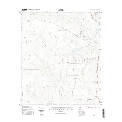
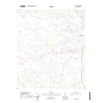
(10)- 2011 Map of Lake Collins, 2011 Print
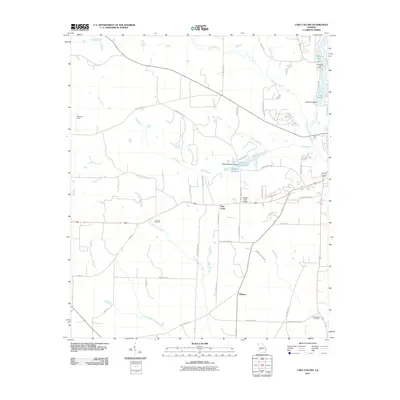 2011 Lake Collins2011 Print · USGSCovers Americus, including New Point, Thalean, and other nearby areas
 - 2011 Map of Americus, 2011 Print
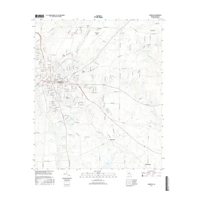
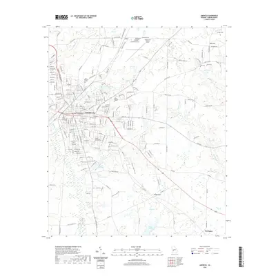
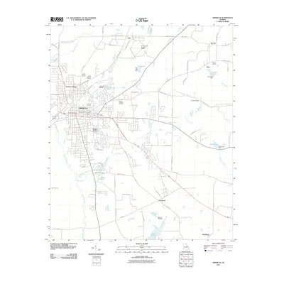 2011 Americus2011 Print · USGSCovers Americus, including Gatewood, Arles, and other nearby areas
 - 2014 Map of Americus, 2014 Print
 2014 Americus2014 Print · USGSCovers Americus, including Gatewood, Arles, and other nearby areas
 - 2014 Map of Lake Collins, 2014 Print
 2014 Lake Collins2014 Print · USGSCovers Americus, including New Point, Thalean, and other nearby areas
 - 2017 Map of Americus, 2017 Print
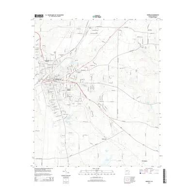
 2017 Americus2017 Print · USGSCovers Americus, including Gatewood, Arles, and other nearby areas
 - 2017 Map of Lake Collins, 2017 Print
 2017 Lake Collins2017 Print · USGSCovers Americus, including New Point, Thalean, and other nearby areas
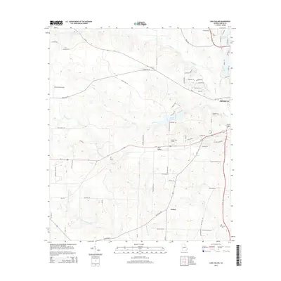
 - 2020 Map of Lake Collins, 2020 Print
 2020 Lake Collins2020 Print · USGSCovers Americus, including New Point, Thalean, and other nearby areas
 - 2020 Map of Americus, 2020 Print
 2020 Americus2020 Print · USGSCovers Americus, including Gatewood, Arles, and other nearby areas
 - 2024 Map of Americus, 2024 Print
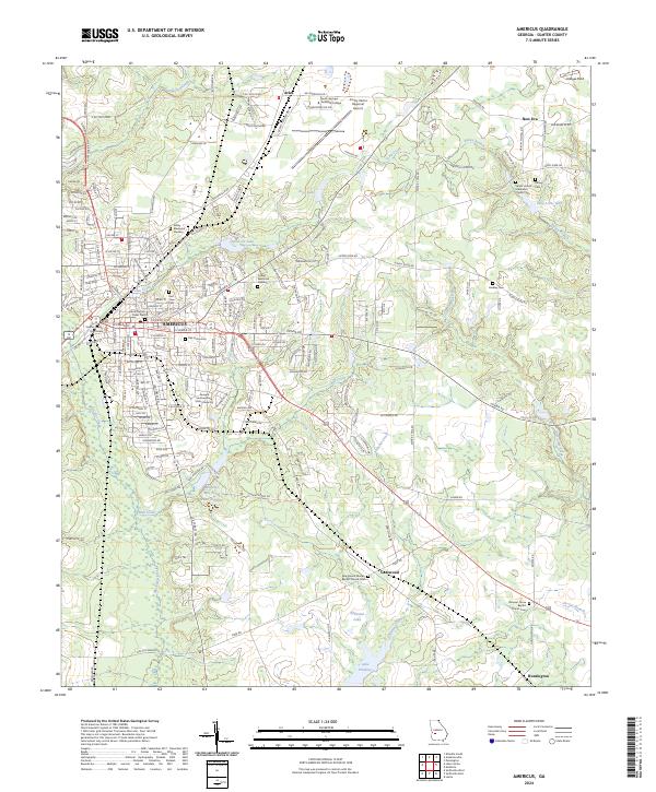 2024 Americus2024 Print · USGSAmericus and its Sumter County surroundings are documented in detail at the start of the 2020s. Researchers can locate numerous local landmarks like the Sumter County Courthouse, Oak Grove Cem, and New Era while tracing the waters of Muckalee Creek.
 - 2024 Map of Lake Collins, 2024 Print
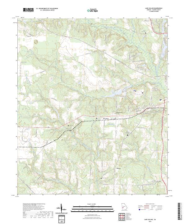 2024 Lake Collins2024 Print · USGSSumter County at the start of the 2020s remains a landscape of quiet rural settlements and winding creeks. Genealogists can trace deep local roots at Howell Family Cem, Antioch Cem, and the community around Thalean.
End of results
Showing maps 1-10 of 10
Top cities near Americus
- Montezuma historical maps
- Ellaville historical maps
- Oglethorpe historical maps
- Plains historical maps
- Smithville historical maps
- Leslie historical maps
See more
Top neighborhoods of Americus
Frequently asked questions
- What are the different types of historical maps available for Americus?
- What is the oldest map of Americus?
- Where can I purchase historical maps of Americus for my home or office?
- Where can I download high-res historical maps of Americus?
- Are there historical topographic maps available for Americus?
- Is there historical aerial imagery available for Americus?
- Where are historical maps of Americus sourced from?