2010s Maps of Talbot County, Georgia
Explore 39 historic maps of Talbot County from the 2010s. These maps offer a rare glimpse into what life looked like during the 2010s — showing old roads, neighborhoods, homes, and landmarks that have changed or disappeared over time.
Whether you're researching your family's past, planning a metal detecting trip, or studying how Talbot County's landscape evolved across the 2010s, these high-resolution maps are a powerful tool for exploring the history of this region.
- Focus on a specific era: All maps on this page are from the 2010s, giving you a focused view of this time period.
- See what’s changed: Compare century-old streets, trails, and buildings to today's modern landscape using overlays and satellite layers.
- Research with precision: Use these maps for genealogy, historical research, land use analysis, or educational projects.
- View, download, or print: Maps are fully viewable online in high resolution, and can be downloaded or printed for your own records.
Start exploring Talbot County's history through authentic maps from the 2010s. This is your window into the past.
Talbot County, GA maps
(39)- 2011 Map of Woodbury, 2011 Print
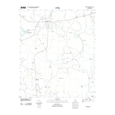 2011 Woodbury2011 Print · USGSThe rural landscape around Woodbury and the Flint River corridor comes into focus in the early 2010s. Genealogists and local historians can locate many family landmarks and small communities, from Sees Old Mill to Bethesda Cemetery and Johnson Crossroads.
 - 2011 Map of Upatoi, 2011 Print
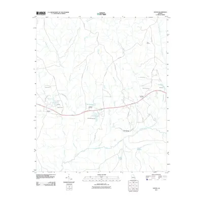 2011 Upatoi2011 Print · USGSWest Georgia's creek-laced countryside comes into focus in this early 2000s survey of the rural landscape near Columbus. Genealogists and historians can trace local family landmarks and infrastructure including Box Springs Post Office, Liberty Hill Cemetery, and Kings Millpond.
 - 2011 Map of Junction City, 2011 Print
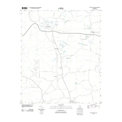 2011 Junction City2011 Print · USGSJunction City and its surrounding hamlets are captured here in the early twenty-first century, showing the enduring rural character of Talbot County. Researchers can trace family roots through the Pine Level Cemetery or locate old community centers like Norwich and the Howard Post Office.
 - 2011 Map of Manchester, 2011 Print
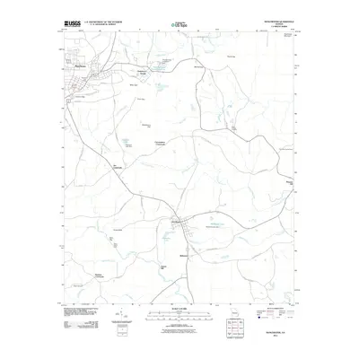 2011 Manchester2011 Print · USGSManchester and the surrounding Georgia countryside are captured here in the early twenty-first century, showing a landscape of mountain gaps and rural crossroads. Genealogists and historians can locate legacy sites like Greens Mill, Chalybeate Springs, and the Miller-Holmes Cemetery.
 - 2011 Map of Sunset Village, 2011 Print
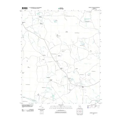 2011 Sunset Village2011 Print · USGSSunset Village and rural Upson County are shown here in the early twenty-first century, featuring a landscape of family settlements and small reservoirs. Genealogists and local historians can trace the McCrary Settlement, locate Friendship Cemetery, or find the historic site of Lawrences Mill.
 - 2011 Map of Waverly Hall, 2011 Print
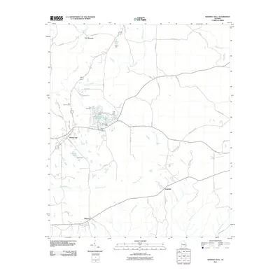 2011 Waverly Hall2011 Print · USGSHarris County at the start of the decade shows a landscape of small rural settlements and private lake developments. Researchers can locate family heritage sites like Saint Johns Cemetery or trace the drainage of Ossahatchie Creek near Baughville and Ridgeway.
 - 2011 Map of Talbotton, 2011 Print
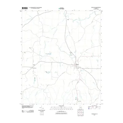 2011 Talbotton2011 Print · USGSTalbotton and its rural surroundings are captured here in the early twenty-first century, showing a landscape defined by creek drainages and small lakes. Local researchers can trace family names and old property boundaries through sites like Oak Hill Cemetery, Olive Branch, and Steed Cemetery.
 - 2011 Map of Geneva, 2011 Print
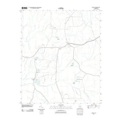 2011 Geneva2011 Print · USGSGeneva and the surrounding Talbot County countryside are captured here in the early twenty-first century, showing a landscape defined by creek forks and small reservoirs. Trace local family history and land use through Geneva Cemetery, Juniper Lake, and Cobb Cemetery.
 - 2011 Map of Baldwinville, 2011 Print
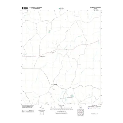 2011 Baldwinville2011 Print · USGSTalbot County at the beginning of the twenty-first century reveals a landscape of enduring rural crossroads and family-named landmarks. Researchers can trace land ties near Adams Cemetery or follow the routes connecting Po Biddy Crossroads, Baldwinville, and Ypsilanti.
 - 2011 Map of Roland, 2011 Print
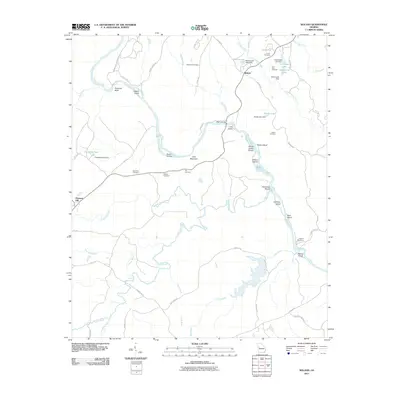 2011 Roland2011 Print · USGSThe Flint River corridor near Roland and Pleasant Hill was documented in this 2011 survey of western Georgia. Genealogists can locate several family burial sites including Grantland Cemetery and Smith Cemetery or trace landmarks like Wynns Bridge.
 - 2011 Map of Lincoln Park, 2011 Print
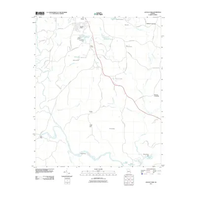 2011 Lincoln Park2011 Print · USGSThe rural landscape of Upson County is captured here in the early twenty-first century, centered on the Lincoln Park community. Genealogists and local historians can trace family-named roads and landmarks like Redbone Crossroads, Snipes Grave Rock, and Zion Chapel Cemetery.
 - 2011 Map of Shiloh, 2011 Print
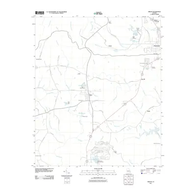 2011 Shiloh2011 Print · USGSThe Pine Mountain ridgeline and rural Georgia communities come into focus in the early 2000s, showing a landscape defined by gaps and creek branches. Researchers can locate family landmarks such as Trammell Cemetery, the Sardis church, and distinctive points like Dowdell Knob.
 - 2011 Map of Prattsburg, 2011 Print
 2011 Prattsburg2011 Print · USGSThe rural crossroads of Taylor County are captured here in the early twenty-first century. Genealogists can locate family landmarks like Antioch Cemetery and Scott-Bussy Cemetery or trace the lands near Prattsburg and Jarrell.
 - 2014 Map of Roland, 2014 Print
 2014 Roland2014 Print · USGSThe Flint River corridor along the Talbot and Upson county line remains a landscape of named family cemeteries and river shoals in the early twenty-first century. Researchers can trace local history through sites like Flint River Cem, Pye Cem, and landmarks such as Sprewell Bluff and Yellow Jacket Shoals.
 - 2014 Map of Prattsburg, 2014 Print
 2014 Prattsburg2014 Print · USGSTaylor and Talbot counties at the start of the 2010s remain defined by quiet rural settlements and the winding course of the Flint River. Researchers can trace family history through local landmarks like Wesley Cem and Scott Bussy Cem or the small community of Jarrell.
 - 2014 Map of Geneva, 2014 Print
 2014 Geneva2014 Print · USGSThe West Georgia timberlands and creek valleys are mapped here in the early twenty-first century, centered on the historic crossroads of Geneva. Researchers can trace local lineage through Cobb Cem and Geneva Cem or locate old water features like Juniper Lake.
 - 2014 Map of Manchester, 2014 Print
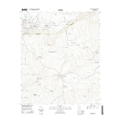 2014 Manchester2014 Print · USGSThe foothills of Pine Mountain in the early 2010s reveal a landscape of ridge-top gaps and rural crossroads south of Manchester. Genealogists and historians can locate family landmarks like Greens Mill, Valley Grove Cem, and the old Woodland Lookout Tower.
 - 2014 Map of Lincoln Park, 2014 Print
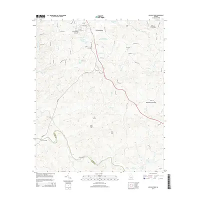 2014 Lincoln Park2014 Print · USGSUpson and Talbot counties meet along the Flint River during the early twenty-first century, revealing a landscape of established crossroads and river shoals. Researchers can locate family sites at Southview Cem or trace the routes through Redbone Crossroads and Birdsong Crossroads.
 - 2014 Map of Woodbury, 2014 Print
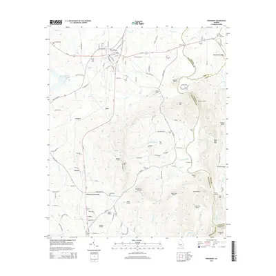 2014 Woodbury2014 Print · USGSThe Georgia Piedmont around Woodbury comes into focus in this modern survey, capturing the rural character and river-cut terrain of Meriwether County. Genealogists can trace family landmarks and numerous burial sites like Waddell Cem, See Cem, and Lawrences Mill.
 - 2014 Map of Baldwinville, 2014 Print
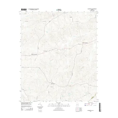 2014 Baldwinville2014 Print · USGSThe Talbot and Taylor County borderlands are captured here in the early twenty-first century as a network of crossroads and creeks. Family researchers can trace locations like Adams Cem and rural settlements such as Baldwinville and Po Biddy Crossroads.
 - 2014 Map of Waverly Hall, 2014 Print
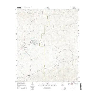 2014 Waverly Hall2014 Print · USGSWaverly Hall and the surrounding Georgia countryside appear in high detail during the early 2010s. Genealogists and local historians can trace family locations near Saint Johns Cem, the community of Ridgeway, and the slopes of Oak Mountain.
 - 2014 Map of Sunset Village, 2014 Print
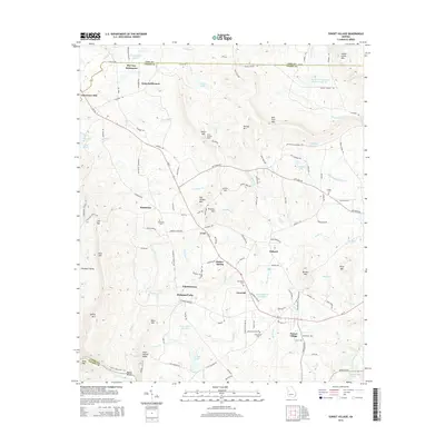 2014 Sunset Village2014 Print · USGSUpson and Pike counties are captured here in the early twenty-first century, showing a landscape of upland ridges and clustered settlements. Genealogists can locate family-named sites like McCrary Settlement and Gilbert Cem, or trace the road to Lawrences Mill.
 - 2014 Map of Shiloh, 2014 Print
 2014 Shiloh2014 Print · USGSThe outskirts of Manchester and the town of Shiloh are captured here in the early 2010s as they wrap around the southern ridges of Pine Mountain. Researchers can locate family names and burial sites at Tramell Cemetery, Shiloh Cemetery, and Meadows Cemetery.
 - 2014 Map of Talbotton, 2014 Print
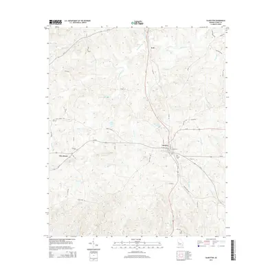 2014 Talbotton2014 Print · USGSTalbotton and its surrounding Georgia countryside are shown here in the mid-2010s, centered on the convergence of several state highways. Genealogists can trace family names through numerous rural burial sites like Oak Hill Cem and landmarks such as Powell Church.
 - 2014 Map of Junction City, 2014 Print
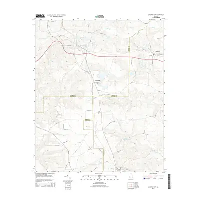 2014 Junction City2014 Print · USGSThe rural borderlands of Talbot, Taylor, and Marion counties are captured here in the early twenty-first century. Researchers can trace family history through sites like Level Cem and Mauk Cem or locate the old milling sites at Parks Millpond and Watson Millpond.
Showing maps 1-25 of 39
Top cities of Talbot County
- Talbotton historical maps
- Woodland historical maps
- Junction City historical maps
- Geneva historical maps
Frequently asked questions
- What are the different types of historical maps available for Talbot County?
- What is the oldest map of Talbot County?
- Where can I purchase historical maps of Talbot County for my home or office?
- Where can I download high-res historical maps of Talbot County?
- Are there historical topographic maps available for Talbot County?
- Is there historical aerial imagery available for Talbot County?
- Where are historical maps of Talbot County sourced from?