2020s Maps of Lyons, Georgia
Explore 4 historic maps of Lyons from the 2020s. These maps offer a rare glimpse into what life looked like during the 2020s — showing old roads, neighborhoods, homes, and landmarks that have changed or disappeared over time.
Whether you're researching your family's past, planning a metal detecting trip, or studying how Lyons's landscape evolved across the 2020s, these high-resolution maps are a powerful tool for exploring the history of this region.
- Focus on a specific era: All maps on this page are from the 2020s, giving you a focused view of this time period.
- See what’s changed: Compare century-old streets, trails, and buildings to today's modern landscape using overlays and satellite layers.
- Research with precision: Use these maps for genealogy, historical research, land use analysis, or educational projects.
- View, download, or print: Maps are fully viewable online in high resolution, and can be downloaded or printed for your own records.
Start exploring Lyons's history through authentic maps from the 2020s. This is your window into the past.
Lyons, GA maps
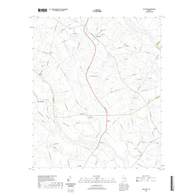
(4)- 2020 Map of Lyons, 2020 Print
 2020 Lyons2020 Print · USGSCovers Lyons, including Santa Claus, Vidalia, and other nearby areas
 - 2020 Map of Oak Park, 2020 Print
 2020 Oak Park2020 Print · USGSCovers Lyons, including Oak Park, Normantown, and other nearby areas
 - 2024 Map of Oak Park, 2024 Print
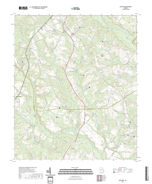 2024 Oak Park2024 Print · USGSOak Park and the surrounding rural landscape where Emanuel, Toombs, and Candler counties meet are shown here in the mid-2020s. Researchers can trace numerous family-named landmarks and burial sites like Shepherd Findley Cem, Williamson Cem, and Holt Airpark.
 - 2024 Map of Lyons, 2024 Print
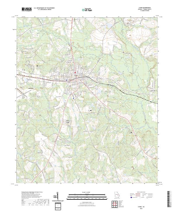 2024 Lyons2024 Print · USGSToombs County thrives as a regional hub in this recent survey of the Vidalia and Lyons area. Genealogists can locate family landmarks like Hillsboro Cem and Wilks Cem or trace the civic footprint of the Toombs County Courthouse and the city of Santa Claus.
End of results
Showing maps 1-4 of 4
Top cities near Lyons
- Metter historical maps
- Reidsville historical maps
- Stillmore historical maps
- Uvalda historical maps
- Collins historical maps
- Oak Park historical maps
See more
Frequently asked questions
- What are the different types of historical maps available for Lyons?
- What is the oldest map of Lyons?
- Where can I purchase historical maps of Lyons for my home or office?
- Where can I download high-res historical maps of Lyons?
- Are there historical topographic maps available for Lyons?
- Is there historical aerial imagery available for Lyons?
- Where are historical maps of Lyons sourced from?