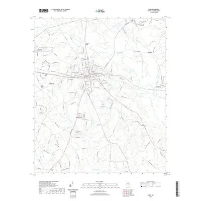
2020 Map of Lyons
USGS Topo · Published 2020About this map
Lyons serves as the seat of Toombs County, characterized by its traditional grid centered on the Toombs County Courthouse and a landscape bisected by several significant watercourses. The town of Santa Claus sits just to the south, while the eastern edge of Vidalia encroaches on the western boundary, showing the physical proximity and growth of these neighboring communities. The topography is defined by the winding paths of Swift Creek and Pendleton Creek, which are crossed by several named structures including Coleman Bridge and Wilkes Bridge.
Find a feature on this map
153 named features on this map. Tap any name to fly to it.
Don’t see what you’re looking for? This feature index may not catch every label — zoom into the map to look around manually.
Map Details
Editions of this 2020 Lyons Map
This is the sole edition of this map. No revisions or reprints were ever made.
Other maps of this area

1957 · Macon
USGS Topo · 1:250,000

1958 · Macon
USGS Topo · 1:250,000

1964 · Macon
USGS Topo · 1:250,000

1970 · Cobbtown
USGS Topo · 1:24,000

1970 · Johnson Corner
USGS Topo · 1:24,000

1970 · Alston
USGS Topo · 1:24,000

1970 · Oak Park SW
USGS Topo · 1:24,000

1970 · Vidalia
USGS Topo · 1:24,000

1970 · Ohoopee
USGS Topo · 1:24,000

1970 · Reidsville West
USGS Topo · 1:24,000