Old Maps of Roland, Georgia for Hiking & Exploration
Hike through history with 12 historic maps of Roland. Explore old trails, ghost towns, and forgotten backroads — perfect for outdoor adventurers and local explorers.
- Rediscover forgotten places: Map out old mining camps, roads, and footpaths that no longer exist on modern maps.
- Layer with modern tools: Combine with LiDAR or satellite views to plan hikes through historical terrain.
- Made for exploration: Popular among hikers, overlanders, and local history lovers.
Use these maps to find adventure and explore the hidden past of Roland.
Roland, GA maps
(12)- 1935 Map of Thomaston
 1935 Thomaston1935 Print · USGSIn the mid-1930s, the industrial corridor around THOMASTON and Silvertown anchored this Georgia landscape. Genealogists and historians can trace the river's influence through several decommissioned crossings like Du Bignon Ferry and family hubs like McCrary Settlement.
 - 1939 Map of Thomaston
 1939 Thomaston1939 Print · USGSUpson County and the industrial town of Thomaston are captured here in the late 1930s, showing a landscape of textile mills and family settlements. Researchers can trace rural life through dozens of local landmarks like Silvertown, Paynes Mill, and the McCrary Settlement.3 unique versions available
 - 1955 Map of Phenix City, 1964 Print
 1955 Phenix City1964 Print · USGSPost-war Alabama and Georgia meet along the Chattahoochee River as industry and military installations expand. Trace the rail lines of the Central of Georgia through towns like Opelika, Tuskegee, and Alexander City.3 unique versions available
 - 1957 Map of Phenix City
 1957 Phenix City1957 Print · USGSThe Alabama-Georgia borderlands are captured here in the mid-fifties, centered on the bustling river crossing at Phenix City and Columbus. Researchers can trace the mid-century footprint of the Fort Benning Military Reservation or locate smaller textile and railroad towns like Langdale and Camp Hill.
 - 1958 Map of Phenix City
 1958 Phenix City1958 Print · USGSThe Alabama-Georgia borderlands thrive during the late fifties, anchored by the river-driven industry of Columbus and Phenix City. Researchers can trace the mid-century footprints of Fort Benning, Auburn, and the textile towns of Fairfax and Lanett.
 - 1971 Map of Roland, 1973 Print
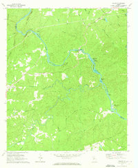 1971 Roland1973 Print · USGSTalbot County at the start of the 1970s is defined by its relationship to the Flint River and its complex network of islands. Local researchers can trace family landmarks and rural congregations at Flint River Ch, Pleasant Hill, and Smith Cem.2 unique versions available
 - 1981 Map of Thomaston, 1982 Print
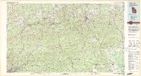 1981 Thomaston1982 Print · USGSCentral Georgia’s ridgeline and river country comes into focus in this early 1980s survey of the Pine Mountain corridor. Researchers can trace historic church sites like Oak Grove Ch, the rail junctions at Manchester, and the expansive Franklin D Roosevelt State Park.
 - 2011 Map of Roland, 2011 Print
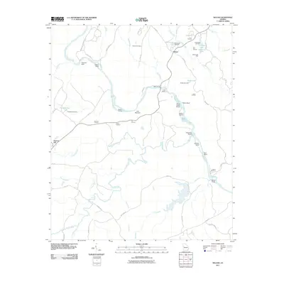 2011 Roland2011 Print · USGSThe Flint River corridor near Roland and Pleasant Hill was documented in this 2011 survey of western Georgia. Genealogists can locate several family burial sites including Grantland Cemetery and Smith Cemetery or trace landmarks like Wynns Bridge.
 - 2014 Map of Roland, 2014 Print
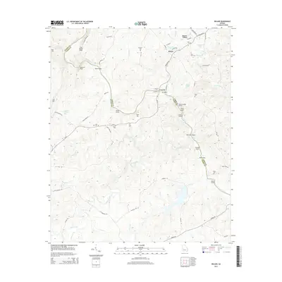 2014 Roland2014 Print · USGSThe Flint River corridor along the Talbot and Upson county line remains a landscape of named family cemeteries and river shoals in the early twenty-first century. Researchers can trace local history through sites like Flint River Cem, Pye Cem, and landmarks such as Sprewell Bluff and Yellow Jacket Shoals.
 - 2017 Map of Roland, 2017 Print
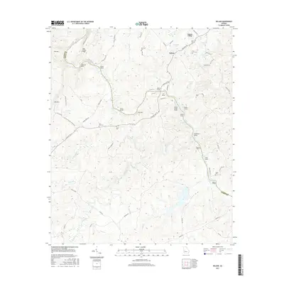 2017 Roland2017 Print · USGSThe Flint River valley at the Talbot-Upson county line is captured here in the late twenty-tens, showing a landscape of river islands and rural crossings. Researchers can trace family names through numerous sites like Grantland Cem, Smith Cem, and Wynns Bridge.
 - 2020 Map of Roland, 2020 Print
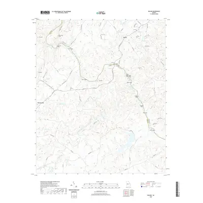 2020 Roland2020 Print · USGSThe Flint River borderlands between Talbot and Upson counties are revealed here in the modern era. Genealogists can locate family-named landmarks like Grantland Cem and Pye Cem, or trace the river's path through Yellow Jacket Shoals.
 - 2024 Map of Roland, 2024 Print
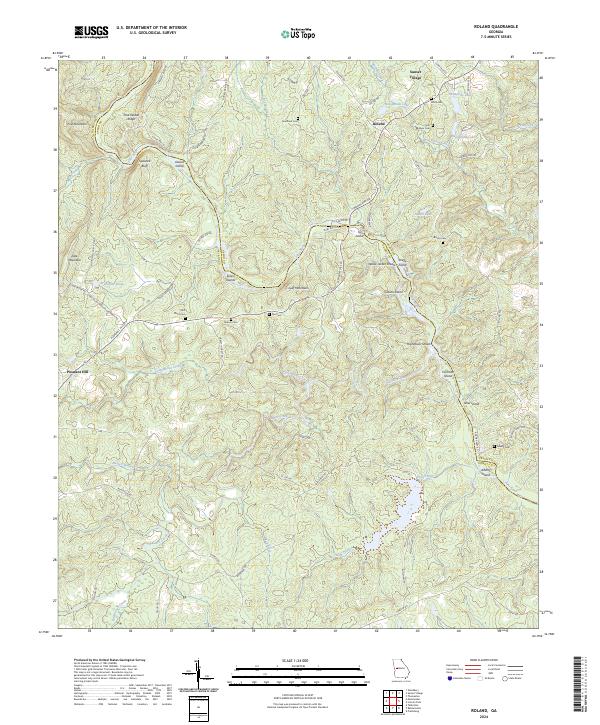 2024 Roland2024 Print · USGSThe Talbot and Upson County borderlands are defined by the winding course of the Flint River in this modern-day survey. Family history researchers can trace local roots through several small burial grounds like Nelson Cem, Brown Cem, and Adams Cem near the river shoals.
End of results
Showing maps 1-12 of 12
Top cities near Roland
- Thomaston historical maps
- Hannahs Mill historical maps
- Manchester historical maps
- Zebulon historical maps
- Sunset Village historical maps
- Woodbury historical maps
See more
Frequently asked questions
- What are the different types of historical maps available for Roland?
- What is the oldest map of Roland?
- Where can I purchase historical maps of Roland for my home or office?
- Where can I download high-res historical maps of Roland?
- Are there historical topographic maps available for Roland?
- Is there historical aerial imagery available for Roland?
- Where are historical maps of Roland sourced from?