2020s Maps of Wayne County, Georgia
Explore 44 historic maps of Wayne County from the 2020s. These maps offer a rare glimpse into what life looked like during the 2020s — showing old roads, neighborhoods, homes, and landmarks that have changed or disappeared over time.
Whether you're researching your family's past, planning a metal detecting trip, or studying how Wayne County's landscape evolved across the 2020s, these high-resolution maps are a powerful tool for exploring the history of this region.
- Focus on a specific era: All maps on this page are from the 2020s, giving you a focused view of this time period.
- See what’s changed: Compare century-old streets, trails, and buildings to today's modern landscape using overlays and satellite layers.
- Research with precision: Use these maps for genealogy, historical research, land use analysis, or educational projects.
- View, download, or print: Maps are fully viewable online in high resolution, and can be downloaded or printed for your own records.
Start exploring Wayne County's history through authentic maps from the 2020s. This is your window into the past.
Wayne County, GA maps
(44)- 2020 Map of Manningtown, 2020 Print
 2020 Manningtown2020 Print · USGSCovers Wayne County, including Manningtown, United States, and other nearby areas
 - 2020 Map of McKinnon, 2020 Print
 2020 McKinnon2020 Print · USGSCovers Wayne County, including Broadhurst, Sun Hill, and other nearby areas
 - 2020 Map of Browntown, 2020 Print
 2020 Browntown2020 Print · USGSCovers Wayne County, including Browntown, Fendig, and other nearby areas
 - 2020 Map of Bug Island, 2020 Print
 2020 Bug Island2020 Print · USGSCovers Wayne County, including Paradise Park, Long County, and other nearby areas
 - 2020 Map of K'Ville, 2020 Print
 2020 K'Ville2020 Print · USGSCovers Wayne County, including K'Ville, Pierce County, and other nearby areas
 - 2020 Map of Altamaha SW, 2020 Print
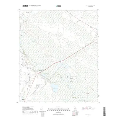
 2020 Altamaha SW2020 Print · USGSCovers Wayne County, including McTier, Zion, and other nearby areas
 - 2020 Map of Patterson, 2020 Print
 2020 Patterson2020 Print · USGSCovers Wayne County, including Patterson, Offerman, and other nearby areas
 - 2020 Map of Odum, 2020 Print
 2020 Odum2020 Print · USGSCovers Wayne County, including Odum, Brentwood, and other nearby areas
 - 2020 Map of Screven, 2020 Print
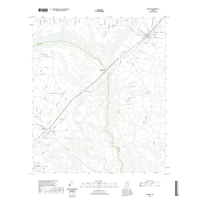 2020 Screven2020 Print · USGSCovers Wayne County, including Screven, Patterson, and other nearby areas
 - 2020 Map of Altamaha SE, 2020 Print
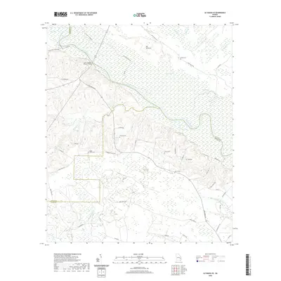 2020 Altamaha SE2020 Print · USGSCovers Wayne County, including Tattnall County, Appling County, and other nearby areas
 - 2020 Map of Ritch, 2020 Print
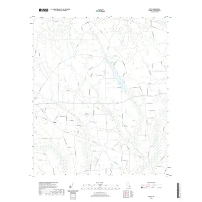 2020 Ritch2020 Print · USGSCovers Wayne County, including Ritch, United States, and other nearby areas
 - 2020 Map of Surrency, 2020 Print
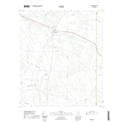 2020 Surrency2020 Print · USGSCovers Wayne County, including Surrency, Appling County, and other nearby areas
 - 2020 Map of Patterson SE, 2020 Print
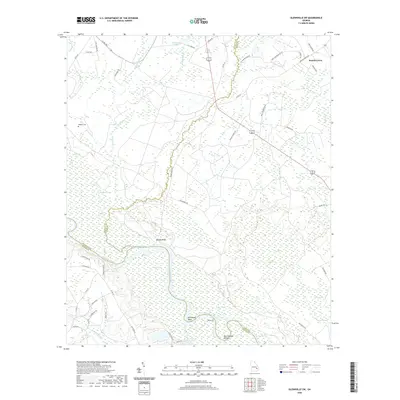
 2020 Patterson SE2020 Print · USGSCovers Wayne County, including Patterson, Pierce County, and other nearby areas
 - 2020 Map of Jesup East, 2020 Print
 2020 Jesup East2020 Print · USGSCovers Wayne County, including Jesup, Gardi, and other nearby areas
 - 2020 Map of Thalmann, 2020 Print
 2020 Thalmann2020 Print · USGSCovers Wayne County, including Jamaica, Popwellville, and other nearby areas
 - 2020 Map of Cox, 2020 Print
 2020 Cox2020 Print · USGSCovers Wayne County, including Cox, Altamaha Park, and other nearby areas
 - 2020 Map of Jesup NW, 2020 Print
 2020 Jesup NW2020 Print · USGSCovers Wayne County, including Jesup, Redland, and other nearby areas
 - 2020 Map of Jesup West, 2020 Print
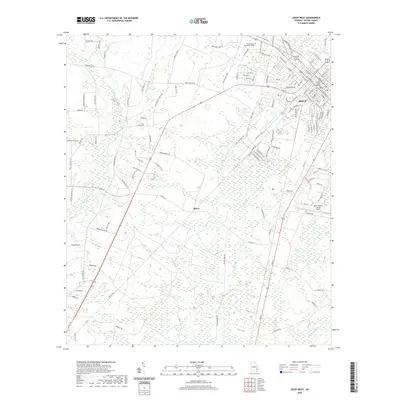 2020 Jesup West2020 Print · USGSCovers Wayne County, including Jesup, Slover, and other nearby areas
 - 2020 Map of Everett, 2020 Print
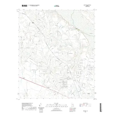
 2020 Everett2020 Print · USGSCovers Wayne County, including Lower Sansavilla, Glynn County, and other nearby areas
 - 2020 Map of Hortense, 2020 Print
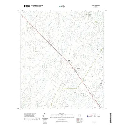
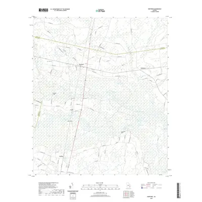 2020 Hortense2020 Print · USGSCovers Wayne County, including Trudie, Hortense, and other nearby areas
 - 2020 Map of Doctortown, 2020 Print
 2020 Doctortown2020 Print · USGSCovers Wayne County, including Jesup, Ludowici, and other nearby areas
 - 2020 Map of Glennville SW, 2020 Print
 2020 Glennville SW2020 Print · USGSCovers Wayne County, including Beards Creek, Noble, and other nearby areas
 - 2024 Map of Patterson, 2024 Print
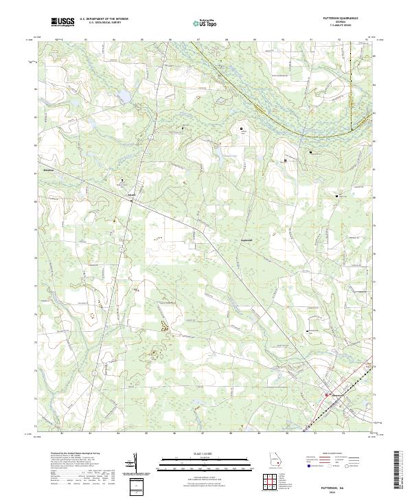 2024 Patterson2024 Print · USGSSoutheast Georgia's rural landscape comes into focus in this contemporary survey of Pierce and Wayne counties. Family researchers can trace ancestral sites through numerous small burial grounds like Tyre Cem, the Bristol Baptist Church, and the settlement at Aspinwall.
 - 2024 Map of Bug Island, 2024 Print
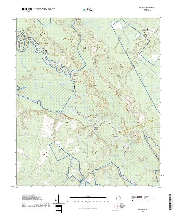 2024 Bug Island2024 Print · USGSThe Altamaha River bottomlands of Long and Wayne counties are captured here in the early twenty-first century, showing a landscape defined by deep swamps and winding river bends. Local historians can trace family-named landmarks like Middleton Memorial Cem, Joyner Island, and Bug Bluff.
 - 2024 Map of Odum, 2024 Print
 2024 Odum2024 Print · USGSWayne County’s rural landscape is captured here in the modern era, centered on the settlement of Odum. Researchers can locate family landmarks like Joiner Cemetery or trace the winding course of Little Satilla Creek and Goose Creek.
Showing maps 1-25 of 44
Top cities of Wayne County
Frequently asked questions
- What are the different types of historical maps available for Wayne County?
- What is the oldest map of Wayne County?
- Where can I purchase historical maps of Wayne County for my home or office?
- Where can I download high-res historical maps of Wayne County?
- Are there historical topographic maps available for Wayne County?
- Is there historical aerial imagery available for Wayne County?
- Where are historical maps of Wayne County sourced from?