2010s Maps of Wayne County, Georgia
Explore 66 historic maps of Wayne County from the 2010s. These maps offer a rare glimpse into what life looked like during the 2010s — showing old roads, neighborhoods, homes, and landmarks that have changed or disappeared over time.
Whether you're researching your family's past, planning a metal detecting trip, or studying how Wayne County's landscape evolved across the 2010s, these high-resolution maps are a powerful tool for exploring the history of this region.
- Focus on a specific era: All maps on this page are from the 2010s, giving you a focused view of this time period.
- See what’s changed: Compare century-old streets, trails, and buildings to today's modern landscape using overlays and satellite layers.
- Research with precision: Use these maps for genealogy, historical research, land use analysis, or educational projects.
- View, download, or print: Maps are fully viewable online in high resolution, and can be downloaded or printed for your own records.
Start exploring Wayne County's history through authentic maps from the 2010s. This is your window into the past.
Wayne County, GA maps
(66)- 2011 Map of Surrency, 2011 Print
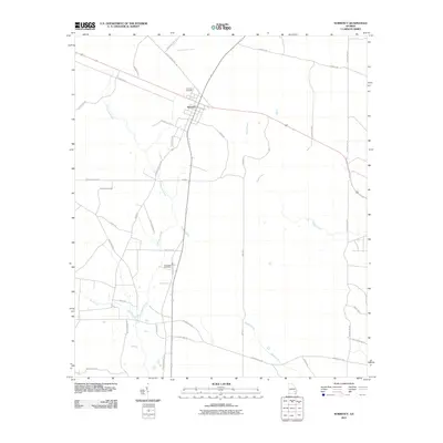 2011 Surrency2011 Print · USGSSurrency and the rural stretches of Appling County are captured here in the early 21st century as they appeared before recent development. Genealogists and local historians can trace family land via Surrency Cemetery, Overstreet Cemetery, and old routes like Fish Pond Trail Rd.
 - 2011 Map of Altamaha SE, 2011 Print
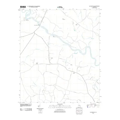 2011 Altamaha SE2011 Print · USGSSoutheast of the Altamaha River in the early 2010s, this area preserves a landscape of river landings and scattered family homesteads. Genealogists and local researchers can trace old family burial sites like Matlock Cemetery and O'Quinn Cemetery near the banks of Tenmile Creek.
 - 2011 Map of Patterson SE, 2011 Print
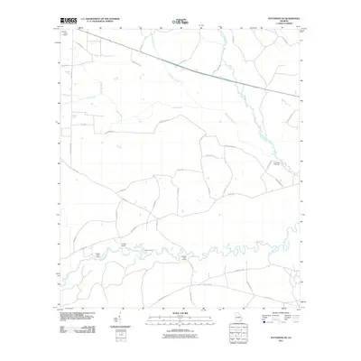 2011 Patterson SE2011 Print · USGSThe Satilla River basin in the early twenty-first century reveals a landscape shaped by its waterways and rural road networks. Researchers can locate the Raulerson Cemetery or trace historical river crossings at Dowling Ford and Dowlings Ferry Landing.
 - 2011 Map of Odum, 2011 Print
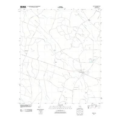 2011 Odum2011 Print · USGSCoastal Georgia's rural interior comes into focus in this early twenty-first-century survey of Wayne County. Researchers can locate specific family heritage sites like Aspinwall Cemetery and Joiner Cemetery or trace old routes like Bennett Mill Pond Rd.
 - 2011 Map of Screven, 2011 Print
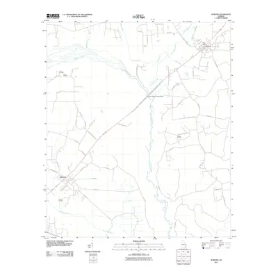 2011 Screven2011 Print · USGSThe coastal plain of Wayne County comes into focus in this early 21st-century record of its settlements and timberland. Family researchers can locate Screven and Offerman alongside historic sites like Clay Hill Cemetery and the Doctor McKee Hargrett Bridge.
 - 2011 Map of K'Ville, 2011 Print
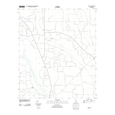 2011 K'Ville2011 Print · USGSCoastal plain settlements and family heritage sites characterize this Wayne County region in the early twenty-first century. Genealogists can trace family names through numerous landmarks like Paulk Cemetery, Moody Ford, and the community of K'Ville.
 - 2011 Map of Ritch, 2011 Print
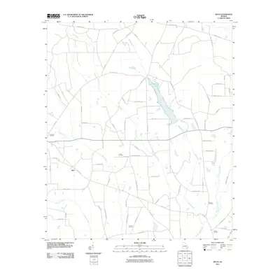 2011 Ritch2011 Print · USGSWayne County, Georgia, is documented here in the early twenty-first century as a landscape of rural family settlements and winding creek beds. Genealogists can locate several family landmarks including Old Ritch Cemetery, Bennett Cemetery, and Smiths Cemetery.
 - 2011 Map of Patterson, 2011 Print
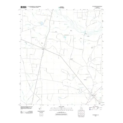 2011 Patterson2011 Print · USGSSoutheast Georgia at the start of the 2010s shows a landscape of timber stands and quiet rural junctions between Bristol and Patterson. Genealogists can locate several family landmarks and burial sites, including Aspinwall Cemetery, Bird Cemetery, and the Tyre Bridge.
 - 2011 Map of Altamaha SW, 2011 Print
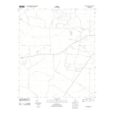 2011 Altamaha SW2011 Print · USGSCoastal plain settlements like Zion and McTier are documented here during the early 2000s, reflecting a landscape shaped by forestry and agriculture. Genealogists can trace legacy routes to sites like Joyner Cemetery, Davis Cemetery, and the Tenmile Lookout Tower.
 - 2011 Map of Cox, 2011 Print
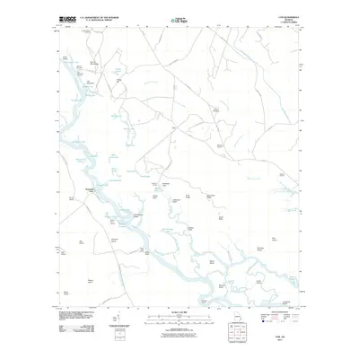 2011 Cox2011 Print · USGSCoastal Georgia's river-driven geography is captured here in the early twenty-first century, centered on the historic Altamaha River corridor. Genealogists and local historians can locate Plum Orchard Cemetery and trace the legacy of old river crossings at Old Fort Barrington and Holland Landing.
 - 2011 Map of Hortense, 2011 Print
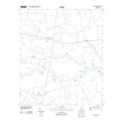 2011 Hortense2011 Print · USGSBrantley County at the start of the 2010s is a landscape of river landings and small rural crossroads. Genealogists and local historians can trace family locations through the Tabernacle Camp Ground, Satilla Cemetery, and the Humpback Bridge crossing.
 - 2011 Map of McKinnon, 2011 Print
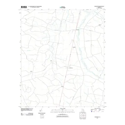 2011 McKinnon2011 Print · USGSCoastal Georgia's rural interior comes into focus during this contemporary survey of the settlements between the Penholoway wetlands. Genealogists and researchers can trace family landmarks like the Old German Cemetery, Duck Pond Cemetery, and the community of Sun Hill.
 - 2011 Map of Jesup NW, 2011 Print
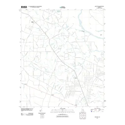 2011 Jesup NW2011 Print · USGSNorthwest of Jesup in the early twenty-first century, the landscape is a complex map of river bends and rural developments. Genealogists and local historians can trace family roots through landmarks like Pinecrest Memorial Cemetery and settlements such as Madray Springs and Redland.
 - 2011 Map of Doctortown, 2011 Print
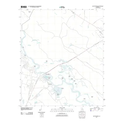 2011 Doctortown2011 Print · USGSThe river crossing at Doctortown is shown here in the early twenty-first century, centered on the Altamaha River and its industrial corridors. Researchers can trace the extensive Rayonier water systems and identify family-named landmarks like Linden Bluff and Griffin Ridge.
 - 2011 Map of Jesup East, 2011 Print
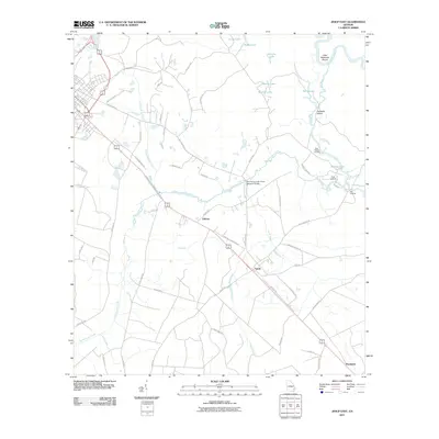 2011 Jesup East2011 Print · USGSThe Altamaha River lowlands and small Wayne County settlements are captured here in the early twenty-first century. Researchers can trace the rural landscape near Odessa and Gardi, or locate local access points like Plank Landing and Oak Landing.
 - 2011 Map of Glennville SW, 2011 Print
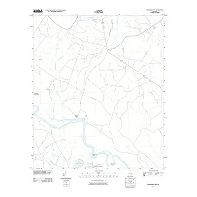 2011 Glennville SW2011 Print · USGSThe Altamaha River bottomlands in Long County were still defined by their winding waterways and rural settlements at the start of the decade. Genealogists and local historians can trace family locations near Beards Bluff, Padgett Cemetery, and the banks of Beards Creek.
 - 2011 Map of Browntown, 2011 Print
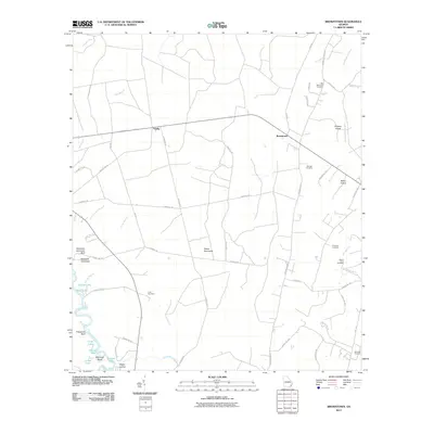 2011 Browntown2011 Print · USGSBrantley County at the start of the 2010s reveals a landscape defined by the winding Satilla River and scattered rural settlements. Family researchers can locate numerous burial grounds including Barnwell Cemetery, McCool Cemetery, and Grayham Cemetery.
 - 2011 Map of Everett, 2011 Print
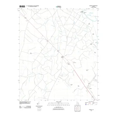 2011 Everett2011 Print · USGSCoastal plain settlements and river bottomlands come into focus in this early twenty-first-century survey of Wayne County. Genealogists and researchers can trace the roads connecting Everett and Mount Pleasant or locate burials at Mount Pleasant Cemetery.
 - 2011 Map of Bug Island, 2011 Print
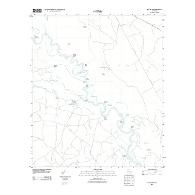 2011 Bug Island2011 Print · USGSThe Altamaha River bottomlands come to life in this early 21st-century survey of the Georgia coastal plain. Researchers can trace historic river access at Oxlot Landing and Upper Sansavilla Landing or locate family landmarks near Paradise Park.
 - 2011 Map of Thalmann, 2011 Print
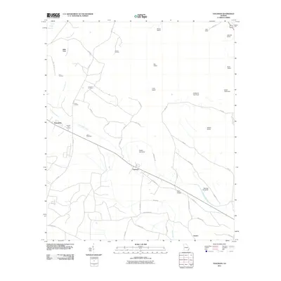 2011 Thalmann2011 Print · USGSCoastal Georgia's rural landscape is captured here in the early twenty-first century, centered on the historic junction at Thalmann. Local researchers can locate numerous family burial sites like Arnett Cemetery and Popwell Cemetery or trace landmarks like Akins Pond Dam.
 - 2011 Map of Manningtown, 2011 Print
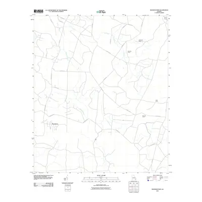 2011 Manningtown2011 Print · USGSCoastal Georgia lowlands come into focus in the early 2010s, revealing a landscape defined by intricate waterways and named islands of high ground. Researchers can trace rural routes to the settlement of Manningtown or locate historical crossings like Rosin Ford and Strickland Island.
 - 2011 Map of Jesup West, 2011 Print
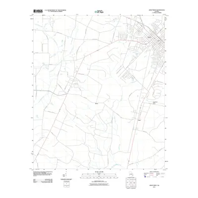 2011 Jesup West2011 Print · USGSCoastal Georgia's inland pine forests and agricultural lands are documented here during the early twenty-first century. Local historians can trace the growth of Jesup and locate points of interest like Slover, Leake, and the Jesup-Wayne County Airport.
 - 2014 Map of Ritch, 2014 Print
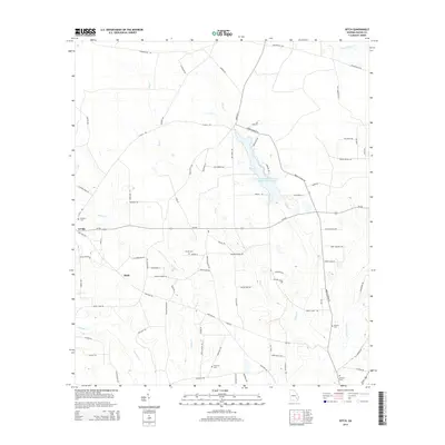 2014 Ritch2014 Print · USGSWayne County's rural timber and farm lands are captured here in the early twenty-first century. Genealogists can trace family footprints across several burial grounds, including the Old Ritch Cem and Thornton Cem, near the quiet settlements of Ritch and K'Ville.
 - 2014 Map of Altamaha SW, 2014 Print
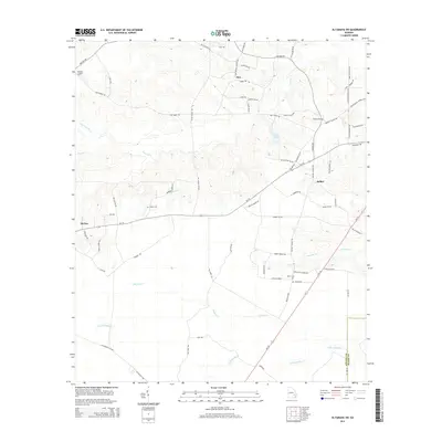 2014 Altamaha SW2014 Print · USGSSoutheast Georgia timber and creek lands are captured here in the early twenty-first century as the rural character of Appling County persisted. Genealogists and local historians can trace family-named sites like Joyner Cemetery, Easons Cemetery, and the settlement of Zion.
 - 2014 Map of K'Ville, 2014 Print
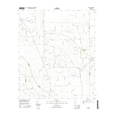 2014 K'Ville2014 Print · USGSThe rural borders of Appling and Wayne counties come alive in this recent survey of Georgia's coastal plain. Genealogists can trace family footprints across numerous sites like Patterson Cem, Milikin Cem, and the river crossing at Moody Ford.
Showing maps 1-25 of 66
Top cities of Wayne County
Frequently asked questions
- What are the different types of historical maps available for Wayne County?
- What is the oldest map of Wayne County?
- Where can I purchase historical maps of Wayne County for my home or office?
- Where can I download high-res historical maps of Wayne County?
- Are there historical topographic maps available for Wayne County?
- Is there historical aerial imagery available for Wayne County?
- Where are historical maps of Wayne County sourced from?