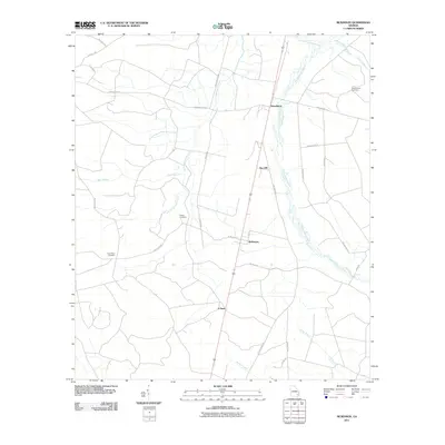
2011 Map of McKinnon
USGS Topo · Published 2011About this map
Penholoway Creek and its tributary Little Penholoway Creek form the primary drainage network through this rural stretch of Wayne County. The settlement pattern is defined by several small communities including Broadhurst, Sun Hill, McKinnon, and O Neal, all situated along the central north-south transportation corridor. Family history and local heritage are anchored by documented sites such as the Old German Cemetery in the northeast and Rogers Cemetery near the center of the quadrangle.
Find a feature on this map
29 named features on this map. Tap any name to fly to it.
Don’t see what you’re looking for? This feature index may not catch every label — zoom into the map to look around manually.
Map Details
Editions of this 2011 McKinnon Map
This is the sole edition of this map. No revisions or reprints were ever made.
Other maps of this area

1918 · Jesup
USGS Topo · 1:62,500

1918 · Hortense
USGS Topo · 1:62,500

1943 · Jesup
USGS Topo · 1:62,500

1944 · Hortense
USGS Topo · 1:62,500

1946 · Brunswick
USGS Topo · 1:250,000

1948 · Brunswick
USGS Topo · 1:250,000

1953 · Waycross
USGS Topo · 1:250,000

1956 · Brunswick
USGS Topo · 1:250,000

1958 · Waycross
USGS Topo · 1:250,000

1961 · Brunswick
USGS Topo · 1:250,000