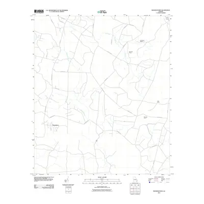
2011 Map of Manningtown
USGS Topo · Published 2011About this map
The settlement of Manningtown serves as the focal point for this 2011 survey of southern Wayne County. The landscape is defined by a dense network of watercourses and topographical rises, including Little Creek, Gum Branch, and Oak Pond Branch. Named topographical features such as Strickland Island, Downing Island, and Palmetto Island suggest areas of higher ground within the surrounding wetland environment. Local transit is managed through a grid of rural routes including Browntown Rd and Wire Rd, which intersect near the historic crossing at Rosin Ford. This mapping effort by the U. S. Geological Survey highlights the intricate drainage patterns of the coastal plain, where family-named roads like Pendarvis Rd and Osborne Rd connect dispersed homesteads and logging tracks across the Georgia lowlands.
Find a feature on this map
26 named features on this map. Tap any name to fly to it.
Don’t see what you’re looking for? This feature index may not catch every label — zoom into the map to look around manually.
Map Details
Editions of this 2011 Manningtown Map
This is the sole edition of this map. No revisions or reprints were ever made.
Other maps of this area

1918 · Jesup
USGS Topo · 1:62,500

1918 · Hortense
USGS Topo · 1:62,500

1918 · Everett City
USGS Topo · 1:62,500

1920 · Everett City
USGS Topo · 1:62,500

1943 · Ludowici
USGS Topo · 1:62,500

1943 · Jesup
USGS Topo · 1:62,500

1944 · Everett City
USGS Topo · 1:62,500

1944 · Hortense
USGS Topo · 1:62,500

1946 · Brunswick
USGS Topo · 1:250,000

1948 · Brunswick
USGS Topo · 1:250,000