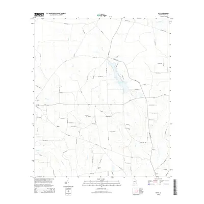
2014 Map of Ritch
USGS Topo · Published 2014About this map
The low-lying pine woods and bottomlands of Wayne County define the landscape of this 2014 survey. The small settlements of K'Ville and Ritch serve as central points for a rural road network that includes historical routes like Holmesville Rd and Empire School Rd. The geography is dictated by the drainage of the Little Satilla Cr, which includes the Little Satilla Cr Structure Number Seven Lake, along with its numerous tributaries such as Boggy Cr, Dry Cr, and Reedy Cr.
Find a feature on this map
82 named features on this map. Tap any name to fly to it.
Don’t see what you’re looking for? This feature index may not catch every label — zoom into the map to look around manually.
Map Details
Editions of this 2014 Ritch Map
This is the sole edition of this map. No revisions or reprints were ever made.
Other maps of this area

1918 · Jesup
USGS Topo · 1:62,500

1918 · Hortense
USGS Topo · 1:62,500

1943 · Jesup
USGS Topo · 1:62,500

1944 · Hortense
USGS Topo · 1:62,500

1946 · Brunswick
USGS Topo · 1:250,000

1948 · Brunswick
USGS Topo · 1:250,000

1953 · Waycross
USGS Topo · 1:250,000

1956 · Brunswick
USGS Topo · 1:250,000

1958 · Waycross
USGS Topo · 1:250,000

1961 · Brunswick
USGS Topo · 1:250,000