2020s Maps of Worth County, Georgia
Explore 32 historic maps of Worth County from the 2020s. These maps offer a rare glimpse into what life looked like during the 2020s — showing old roads, neighborhoods, homes, and landmarks that have changed or disappeared over time.
Whether you're researching your family's past, planning a metal detecting trip, or studying how Worth County's landscape evolved across the 2020s, these high-resolution maps are a powerful tool for exploring the history of this region.
- Focus on a specific era: All maps on this page are from the 2020s, giving you a focused view of this time period.
- See what’s changed: Compare century-old streets, trails, and buildings to today's modern landscape using overlays and satellite layers.
- Research with precision: Use these maps for genealogy, historical research, land use analysis, or educational projects.
- View, download, or print: Maps are fully viewable online in high resolution, and can be downloaded or printed for your own records.
Start exploring Worth County's history through authentic maps from the 2020s. This is your window into the past.
Worth County, GA maps
(32)- 2020 Map of Doerun, 2020 Print
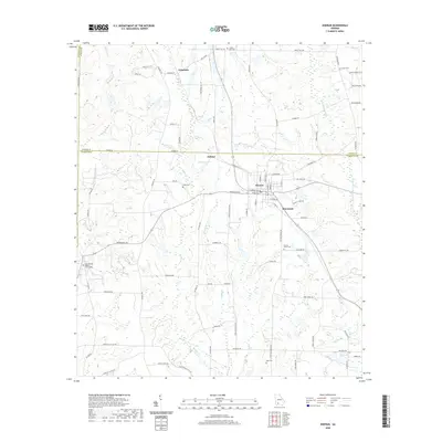 2020 Doerun2020 Print · USGSThe crossroads of Doerun and the surrounding Georgia countryside are captured here in the modern era. Genealogists can locate several family and community burial sites, from Duncan Smith Cem to the Cool Springs Baptist Church Cem.
 - 2020 Map of Tempy, 2020 Print
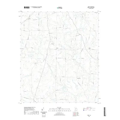 2020 Tempy2020 Print · USGSWorth County's rural character is on full display here in the early twenty-first century, showing a landscape defined by creek headwaters and small farming communities. Genealogists can locate several local burial sites like Tempy Cem and Harrisonville Cem, or trace the winding course of Warrior Cr through the countryside.
 - 2020 Map of Norman Park, 2020 Print
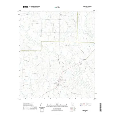 2020 Norman Park2020 Print · USGSSouthern Colquitt County enters the twenty-first century as a landscape of established family farms and rural communities. Genealogists can trace local heritage through numerous burial sites like Rocky Creek Church Cem and Tompkins Cem.
 - 2020 Map of Cuffietown, 2020 Print
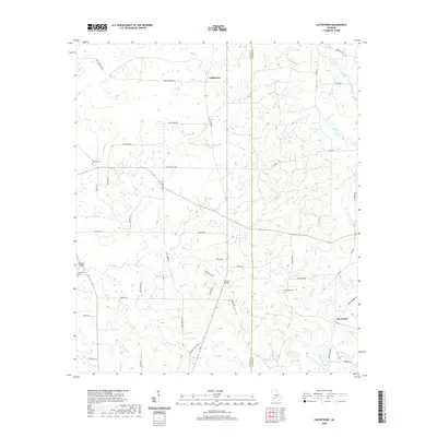 2020 Cuffietown2020 Print · USGSThe rural border of Worth and Turner Counties comes into focus in this recent study of South Georgia’s agricultural heartland. Researchers can trace family history through sites like Red Oak Cemetery or follow the winding paths of Abrams Creek and Jeter Creek.
 - 2020 Map of Bridgeboro, 2020 Print
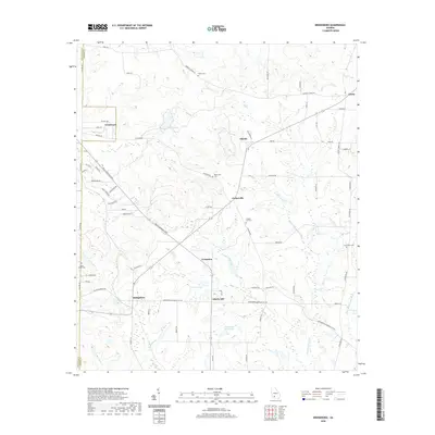 2020 Bridgeboro2020 Print · USGSWorth County's rural crossroads and agricultural tracts are captured in this modern survey of the South Georgia landscape. Genealogists can locate family landmarks such as Parkerville Cem or Chapel Hill Cem and trace the paths of the Ochlockonee River and Little Ochlockonee River.
 - 2020 Map of Ty Ty, 2020 Print
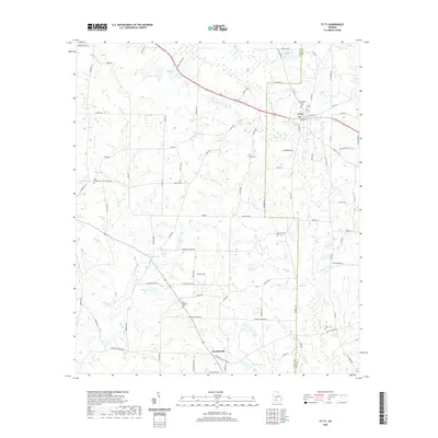 2020 Ty Ty2020 Print · USGSThe town of Ty Ty and nearby Scooterville anchor this modern-day look at the South Georgia landscape. Genealogists and historians can trace local family lineages through named landmarks like Salem Cem, Willis Cem, and Harold Lake.
 - 2020 Map of Acree, 2020 Print
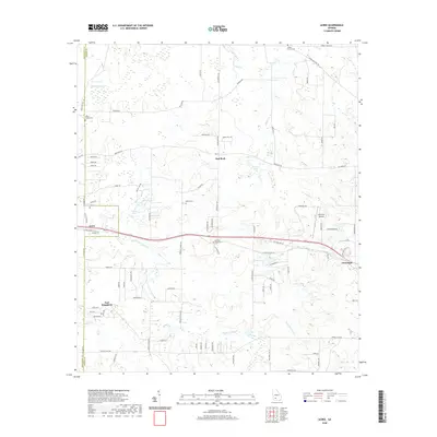 2020 Acree2020 Print · USGSThe borderlands of Dougherty and Worth Counties are captured here in the early twenty-first century, showing a rural landscape defined by agriculture and aviation. Genealogists can locate family landmarks such as Hill Cem, Bethel Cem, and the small settlement of Acree.
 - 2020 Map of Sylvester, 2020 Print
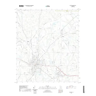 2020 Sylvester2020 Print · USGSSylvester and the surrounding Worth County countryside are captured here in the early twenty-first century. Researchers can trace family history through local landmarks like the Worth County Courthouse and numerous rural cemeteries including Antioch Cem and Hillcrest Cem.
 - 2020 Map of Sumner, 2020 Print
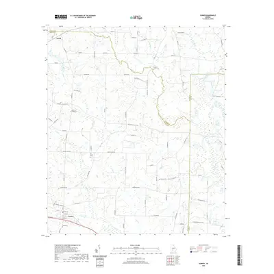 2020 Sumner2020 Print · USGSThe rural agricultural lands of Worth County are documented here in recent decades, showing the network of family roads and waterways. Genealogists can locate several local burial sites like Old Sumner Cem and Damascus Cem near the Little River.
 - 2020 Map of Sigsbee, 2020 Print
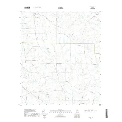 2020 Sigsbee2020 Print · USGSColquitt and Worth counties are captured here in the modern era, showing a landscape of quiet rural hamlets and agricultural tradition. Genealogists can locate family landmarks like Wrights Chapel Cemetery and trace the paths of Okapilco Creek and the Little Ochlockonee River.
 - 2020 Map of Doles, 2020 Print
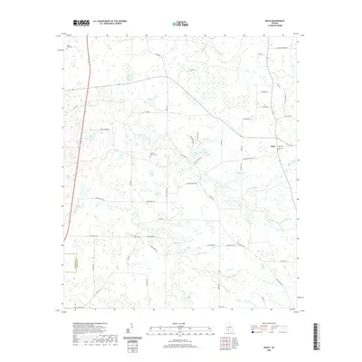 2020 Doles2020 Print · USGSWorth County agricultural lands are documented here as they appeared in the late 2010s. Researchers can trace rural family sites and local history through landmarks like Doles, Salem Cem, and the waters of Abrams Cr.
 - 2020 Map of Warwick, 2020 Print
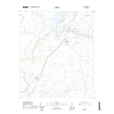 2020 Warwick2020 Print · USGSThe Worth County town of Warwick and the waters of Lake Blackshear define this Georgia landscape in the early twenty-first century. Researchers can trace local lineage through Fort Early Cemetery and Oakfield Cemetery or locate old industrial sites like Davis Mill.
 - 2020 Map of Albany NE, 2020 Print
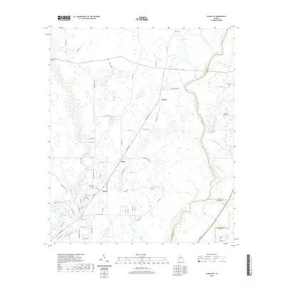 2020 Albany NE2020 Print · USGSNortheast of Albany in the early 2020s, the landscape follows the winding Flint River through the heart of South Georgia agricultural country. Genealogists and local researchers can locate several rural burial grounds including Old Mount Horeb Cemetery and Friendship Cemetery near the community of Beloit.
 - 2020 Map of Albany East, 2020 Print
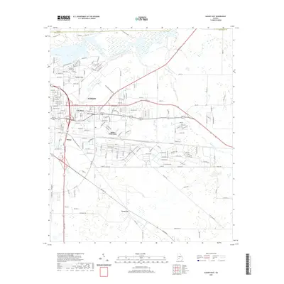 2020 Albany East2020 Print · USGSDougherty County at the start of the 2020s shows the continued growth of Albany across its riverfront and suburban corridors. Researchers can trace the development of established neighborhoods like East Albany and Five Points or the quiet roads of Pecan City.
 - 2020 Map of Pateville, 2020 Print
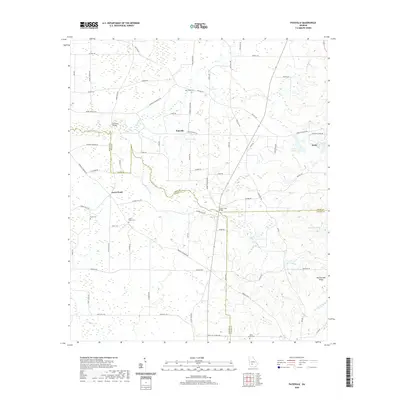 2020 Pateville2020 Print · USGSThe communities of Arabi and Pateville are shown here as they exist today at the junction of three Georgia counties. Researchers can trace rural family roots and landmarks through the Story-Odum Cem, Zion Hope Cem, and Primrose Bridge.
 - 2020 Map of Leslie SE, 2020 Print
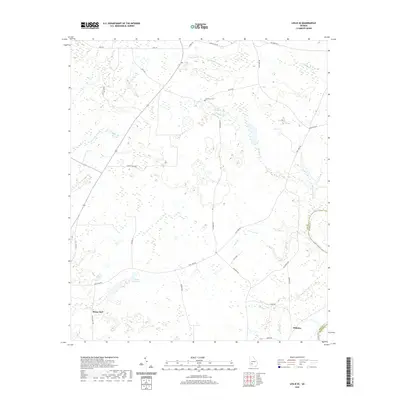 2020 Leslie SE2020 Print · USGSLee County at the start of the 2020s shows a landscape of quiet rural settlements and winding swamp branches. Researchers can trace family history at Larramore Cem or explore the water-rich terrain around Mossy Dell and the Flint River.
 - 2024 Map of Doles, 2024 Print
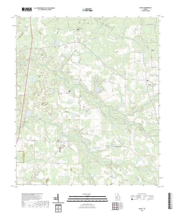 2024 Doles2024 Print · USGSSouthern Georgia's rural landscape comes into focus in this recent survey of the region surrounding Doles. Researchers can trace old family footprints and community roots across a network of country lanes to sites like Mount Horeb Cem, Blue Spring, and Tison Lake.
 - 2024 Map of Pateville, 2024 Print
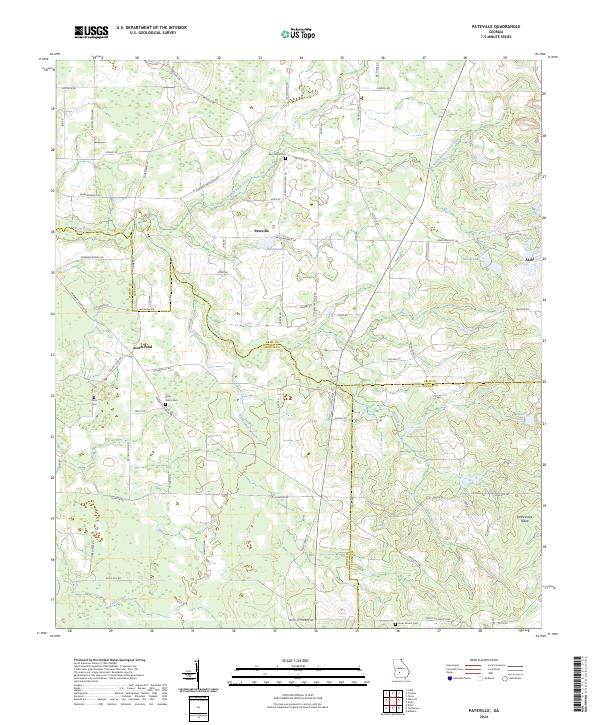 2024 Pateville2024 Print · USGSThe agricultural heart of South Georgia is documented here in the early twenty-first century as it spans three county lines. Genealogists and historians can locate legacy family burial sites like Story - Odom Cem and Zion Hope Cem while tracing the waters of Swift Creek.
 - 2024 Map of Acree, 2024 Print
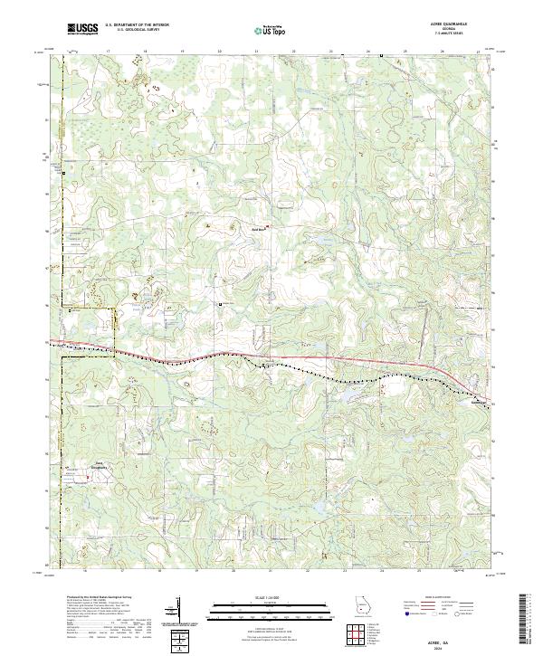 2024 Acree2024 Print · USGSWorth and Dougherty counties are mapped here in the modern era, revealing a landscape of rural settlements and quiet water bodies. Family historians can trace ancestral sites at Bethel Cem or Morning Star Cem near communities like Acree and Red Rock.
 - 2024 Map of Bridgeboro, 2024 Print
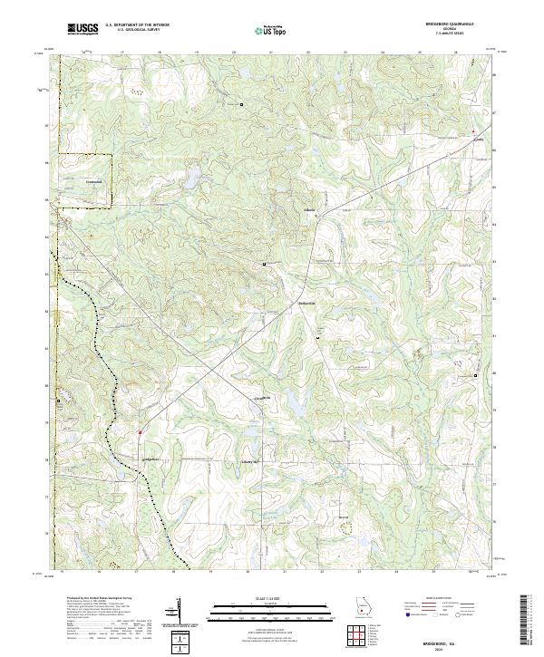 2024 Bridgeboro2024 Print · USGSWorth County at the current moment reveals a landscape where traditional agricultural settlements like Bridgeboro and Liberty Hill meet the headwaters of the Ochlockonee River. Genealogists and local historians can trace family roots through several rural burial sites, including Parker Cem, Evergreen Cem, and Rocky Mount Cem.
 - 2024 Map of Sigsbee, 2024 Print
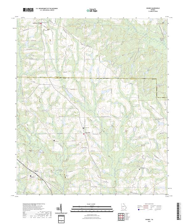 2024 Sigsbee2024 Print · USGSColquitt and Worth counties are captured here in the 2020s, showing a landscape defined by traditional family farming and quiet rural settlements. Researchers can trace local heritage through numerous burial sites like Kimball Cem and family road names such as Rob Bennett Rd.
 - 2024 Map of Cuffietown, 2024 Print
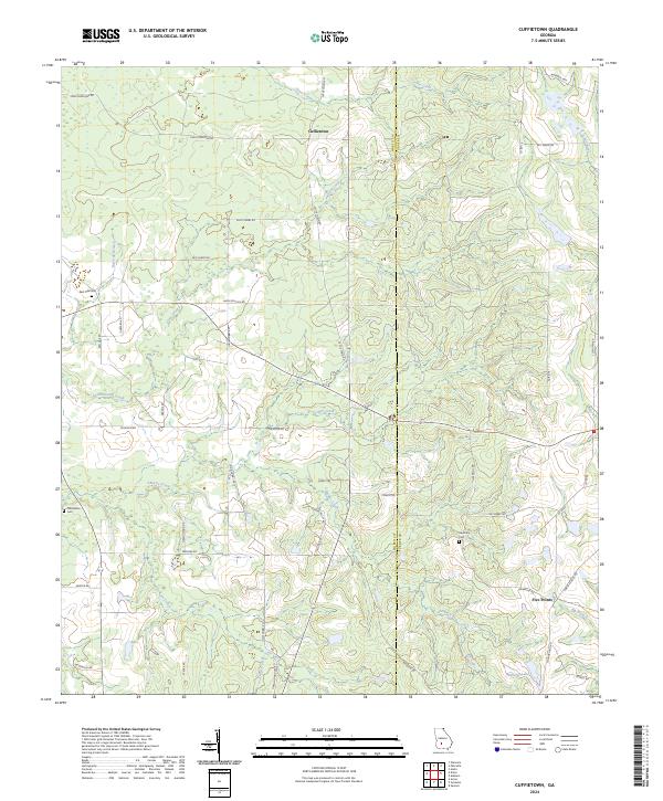 2024 Cuffietown2024 Print · USGSWorth and Turner counties at the contemporary moment reveal a persistent rural landscape defined by family landholdings and slow-moving creek bottoms. Researchers can trace local lineage through Red Oak Cemetery and named roads like HOBBY SCHOOL RD or JOE HOBBY RD.
 - 2024 Map of Sumner, 2024 Print
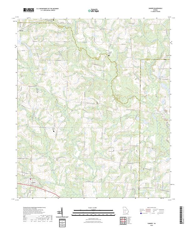 2024 Sumner2024 Print · USGSCoastal Plain farmland in South Georgia remains defined by its family-run homesteads and quiet creek branches in the 2020s. Researchers can trace ancestral footprints at Sumner Cem, find the historic site of Joesph Sumner, or follow the winding Little River.
 - 2024 Map of Sylvester, 2024 Print
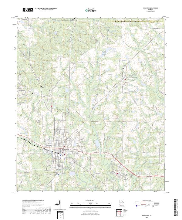 2024 Sylvester2024 Print · USGSSylvester and the surrounding Worth County countryside are shown here in the early twenty-first century, anchored by the rail corridor. Researchers can trace local lineage through Hillcrest Cem, find the Worth County Courthouse, or explore the smaller community of Poulan.
 - 2024 Map of Ty Ty, 2024 Print
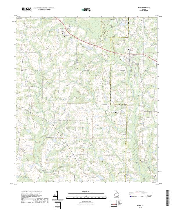 2024 Ty Ty2024 Print · USGSCoastal plain agriculture and rural settlements define the landscape of South Georgia as it appears today. Genealogists and local historians can trace family-named routes and burial sites like Wills Cem and Pine Hill Cem near Ty Ty and Scooterville.
Showing maps 1-25 of 32
Top cities of Worth County
Frequently asked questions
- What are the different types of historical maps available for Worth County?
- What is the oldest map of Worth County?
- Where can I purchase historical maps of Worth County for my home or office?
- Where can I download high-res historical maps of Worth County?
- Are there historical topographic maps available for Worth County?
- Is there historical aerial imagery available for Worth County?
- Where are historical maps of Worth County sourced from?