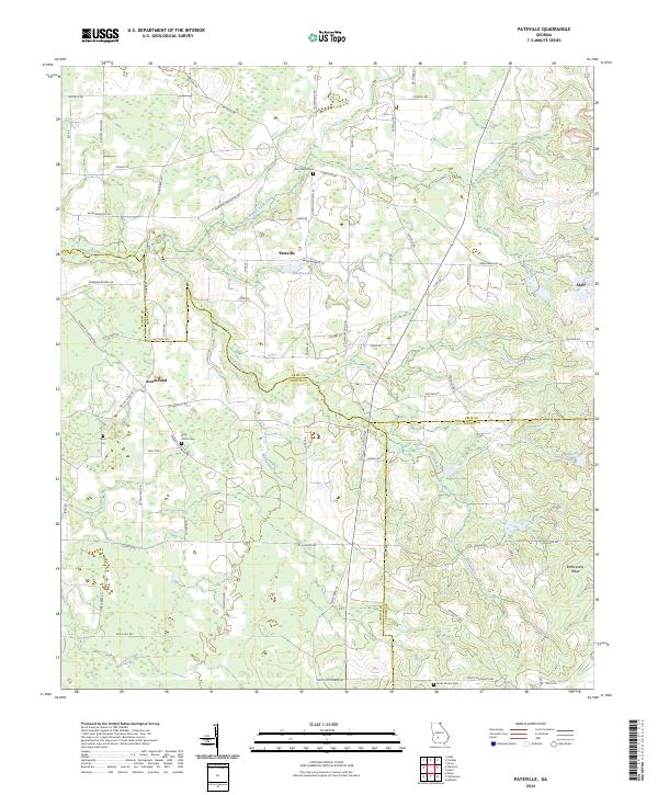
2024 Map of Pateville
USGS Topo · Published 2024About this map
Pateville and Arabi anchor this South Georgia landscape, where the borders of Worth, Crisp, and Turner counties converge amidst a network of agriculture and wetlands. The terrain is defined by the winding course of Swift Creek and its many tributaries, including North Branch Swift Creek and Rattlesnake Branch, which feed into local bodies of water like Hardin Lake and Acorn Pond. The map reveals a deeply rooted rural community, marked by several family and community burial grounds such as Zion Hope Cem, Story - Odom Cem, and Butts Cem. To the southeast, the elevation shifts at Rattlesnake Ridge near McKinney Lake, while a dense grid of named country roads like Lebanon Church Rd and Warwick-Ashburn Rd connects the scattered homesteads and farms that have long characterized this region of the coastal plain.
Find a feature on this map
72 named features on this map. Tap any name to fly to it.
Don’t see what you’re looking for? This feature index may not catch every label — zoom into the map to look around manually.
Map Details
Editions of this 2024 Pateville Map
This is the sole edition of this map. No revisions or reprints were ever made.
Other maps of this area

1953 · Waycross
USGS Topo · 1:250,000

1956 · Sylvester
USGS Topo · 1:62,500

1958 · Waycross
USGS Topo · 1:250,000

1972 · Cuffietown
USGS Topo · 1:24,000
1973 · Doles
USGS Topo · 1:24,000

1973 · Ashburn
USGS Topo · 1:24,000
1974 · Cordele
USGS Topo · 1:24,000
1977 · Cobb
USGS Topo · 1:24,000
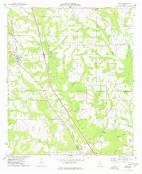
1977 · Arabi
USGS Topo · 1:24,000
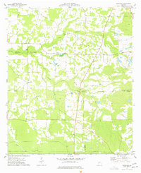
1977 · Pateville
USGS Topo · 1:24,000