
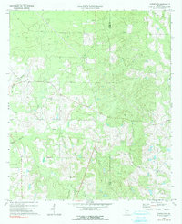
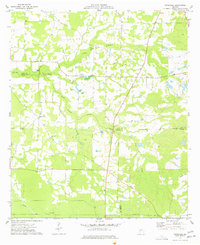
1972 Map of Cuffietown
USGS Topo · Published 1975About this map
Cuffietown Creek and its complex network of tributaries define the topography of this rural Georgia landscape during the early 1970s. The area is characterized by a sparse settlement pattern centered around crossroads and rural congregations, notably at Five Points. The drainage system is particularly dense, with Abrams Creek, Little Abrams Creek, Joe Creek, and Horse Creek cutting through the terrain.
Find a feature on this map
15 named features on this map. Tap any name to fly to it.
Don’t see what you’re looking for? This feature index may not catch every label — zoom into the map to look around manually.
Map Details
Editions of this 1972 Cuffietown Map
2 editions found
Other maps of this area

1953 · Waycross
USGS Topo · 1:250,000

1956 · Sylvester
USGS Topo · 1:62,500

1958 · Waycross
USGS Topo · 1:250,000

1973 · Sumner
USGS Topo · 1:24,000
1973 · Acree
USGS Topo · 1:24,000

1973 · Sylvester
USGS Topo · 1:24,000
1973 · Doles
USGS Topo · 1:24,000

1973 · Ashburn
USGS Topo · 1:24,000
1977 · Arabi
USGS Topo · 1:24,000
1977 · Pateville
USGS Topo · 1:24,000