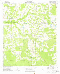
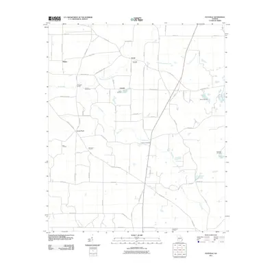
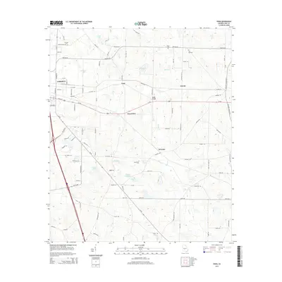
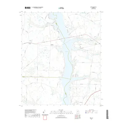
1977 Map of Pateville
USGS Topo · Published 1977About this map
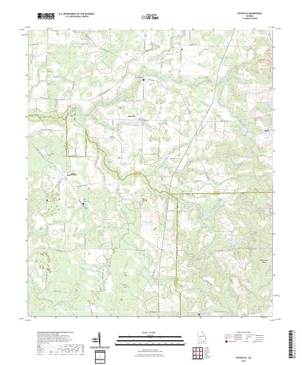
Pateville and the western edge of Arabi define the human landscape of this South Georgia quadrangle, where the borders of Crisp, Worth, and Turner counties converge. The terrain is characterized by the winding courses of Swift Creek and North Branch, which create a complex pattern of wetlands and low-lying woods. This area is notably dense with historical markers of rural community life, featuring numerous small churches and family burial grounds like the Story-Odum Cem.
Find a feature on this map
26 named features on this map. Tap any name to fly to it.
Don’t see what you’re looking for? This feature index may not catch every label — zoom into the map to look around manually.
Map Details
Editions of this 1977 Pateville Map
This is the sole edition of this map. No revisions or reprints were ever made.
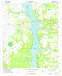
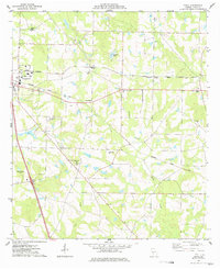
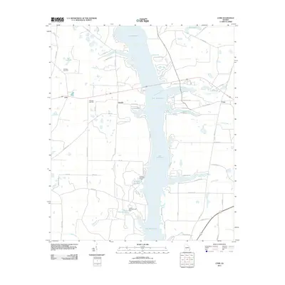
Historical Maps of Arabi Through Time
18 maps found
1977 Cobb
Crisp County, GA
1977 Pateville
Crisp County, GA
1977 Penia
Crisp County, GA
2011 Cobb
Crisp County, GA
2011 Pateville
Crisp County, GA
2011 Penia
Crisp County, GA
2014 Cobb
Crisp County, GA
2014 Pateville
Crisp County, GA
2014 Penia
Crisp County, GA
2017 Cobb
Crisp County, GA
2017 Pateville
Crisp County, GA
2017 Penia
Crisp County, GA
2020 Cobb
Crisp County, GA
2020 Pateville
Crisp County, GA
2020 Penia
Crisp County, GA
2024 Cobb
Crisp County, GA
2024 Pateville
Crisp County, GA
2024 Penia
Crisp County, GA