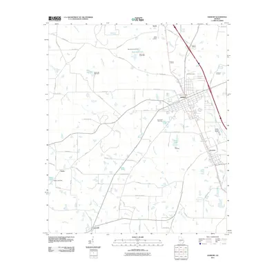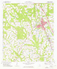
1973 Map of Ashburn
USGS Topo · Published 1976About this map
The Georgia Southern and Florida railroad corridor anchors this mid-1970s survey of Turner County, defining the growth of Ashburn and Sycamore. The landscape is a complex network of agriculture and industry, featuring the County Airport and multiple sewage disposal sites along Hat Creek. For family historians, the map is a dense record of rural social centers, documenting several houses of worship such as Oak Grove Ch, Friendship Ch, and Zion Hope Ch. Several family-named cemeteries, including Summers Cem and Hobby Cem, are preserved in their exact locations amidst the terrain drained by the Little River and Daniels Creek. These features, combined with local civic landmarks like the County Health Center and County Hospital, reveal the community structure of South Georgia during this era of modernization.
Find a feature on this map
46 named features on this map. Tap any name to fly to it.
Don’t see what you’re looking for? This feature index may not catch every label — zoom into the map to look around manually.
Map Details
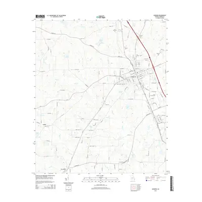
Editions of this 1973 Ashburn Map
This is the sole edition of this map. No revisions or reprints were ever made.
Historical Maps of Ashburn Through Time
6 maps found