
1974 Map of Amboy
USGS Topo · Published 1977About this map
Amboy serves as a central point in this mid-1970s landscape, where the rural character of Turner County is defined by its creek valleys and agricultural infrastructure. The Seaboard Coast Line cuts through the northeast, while the presence of an Old RR Grade and Old Railroad Grade trace the legacy of earlier transportation routes that once linked these small communities. Settlements like Double Run and Castleberry are established near these corridors, reflecting the area's historical reliance on rail for commerce and travel.
Find a feature on this map
22 named features on this map. Tap any name to fly to it.
Don’t see what you’re looking for? This feature index may not catch every label — zoom into the map to look around manually.
Map Details
Editions of this 1974 Amboy Map
This is the sole edition of this map. No revisions or reprints were ever made.
Other maps of this area

1953 · Waycross
USGS Topo · 1:250,000

1958 · Waycross
USGS Topo · 1:250,000

1973 · Irwinville
USGS Topo · 1:24,000

1973 · Ashburn
USGS Topo · 1:24,000

1973 · Bethel
USGS Topo · 1:24,000

1974 · Rebecca
USGS Topo · 1:24,000
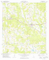
1974 · Pitts
USGS Topo · 1:24,000
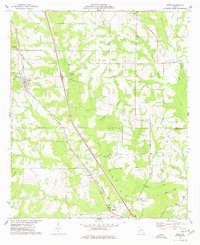
1977 · Arabi
USGS Topo · 1:24,000
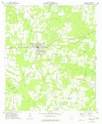
1977 · Rochelle
USGS Topo · 1:24,000
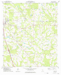
1977 · Penia
USGS Topo · 1:24,000