Old Maps of Mountain View, Hawaii for Genealogy
Trace your family roots with 39 historic maps of Mountain View. These high-res maps reveal old neighborhoods, homesites, landmarks, and streets — helping you uncover where your ancestors lived and how the area evolved over time.
- Explore historic neighborhoods: Identify where your relatives may have lived in the 1800s or 1900s.
- Compare maps over time: Trace the changes in streets, buildings, and landmarks for multi-generational research.
- Perfect for genealogy & ancestry research: Used by family historians and researchers to map out lineage and migration.
These maps are an incredible resource for exploring your personal connection to Mountain View's past.
Mountain View, HI maps
(39)- 1917 Map of Hilo
 1917 Hilo1917 Print · USGSThe Hilo region during the Great War era shows a landscape shaped by sugar production and volcanic history. Researchers can trace the Hilo R. R. through plantation hubs like Olaa Plantation Mill and early settlements including Mountain View and Elevenmile Homestead.
 - 1922 Map of Puna, 1957 Print
 1922 Puna1957 Print · USGSThe Puna district of Hawaii is captured here during the early twentieth century as the national park was taking shape. Researchers can locate ancient coastal sites like Wahaula Heiau and early homesteads at Kilauea Settlement Lots.
 - 1924 Map of Puna
 1924 Puna1924 Print · USGSThe Puna coastline and the volcanic highlands of Hawaii are captured here in the early twenties, during the growth of local homesteading and ranching. Genealogists and historians can locate early residents in the Kilauea Settlement Lots or trace the path of the Hawaii Consolidated Ry near Glenwood.2 unique versions available
 - 1930 Map of Humuula
 1930 Humuula1930 Print · USGSThe slopes of Mauna Kea and the high saddle lands appear here in the late twenties, dominated by massive historical lava paths. Trace the roots of the island's ranching and conservation history at the Humuula Sheep Station and the Kilauea Forest Reserve.3 unique versions available
 - 1932 Map of Hilo
 1932 Hilo1932 Print · USGSCoastal Hawaii and the Puna district appear here at the height of the plantation era, before major mid-century modernization. Researchers can trace the layout of sugar camps and early rail lines, locating the Olaa Plantation Mill, the Hilo Air Port, and the track of the Lava Flow of 1881.2 unique versions available
 - 1954 Map of Hawaii South
 1954 Hawaii South1954 Print · USGSThe southern reaches of the Big Island in the mid-fifties show a landscape of volcanic peaks, coastal villages, and upland timber mills. Researchers can trace the old island infrastructure through sites like Koa Mill, Hoopuloa, and the remote Mountain House.
 - 1954 Map of Hawaii North
 1954 Hawaii North1954 Print · USGSThe Big Island in the mid-fifties shows a landscape of active volcanic history and a peak sugar-mill economy. Trace the route of the Hawaii Consolidated Railway, locate the Olaa Plantation Mill, and see the extent of the Lava flow of 1881 near Hilo.
 - 1956 Map of Kulani, 1957 Print
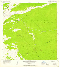 1956 Kulani1957 Print · USGSThe high volcanic slopes of Hawaii's interior are captured in the mid-fifties, showing a landscape defined by recent eruptions and remote outposts. Researchers can trace the Lava Flow of 1942 and locate sites like the Mauna Loa Boys School or Waiakea Camp.
 - 1959 Map of Hawaii South
 1959 Hawaii South1959 Print · USGSThe southern half of the Big Island appears here in the late fifties, dominated by the active volcanic peaks and extensive forest reserves. Researchers can trace the mid-century footprints of Pahala, Waiohinu, and the agricultural grounds of Gaspard Dairy.
 - 1959 Map of Hawaii North
 1959 Hawaii North1959 Print · USGSThe northern half of Hawaii Island in the late fifties shows a landscape shaped by historic volcanic activity and a thriving sugar and ranching economy. Researchers can trace historic lava flows alongside local landmarks like Upolu Point Airport, Huehue Ranch, and the Pacific Sugar Mill.
 - 1961 Map of Hawaii North
 1961 Hawaii North1961 Print · USGSThe Big Island's northern reaches are shown here in the early sixties, during the peak of the sugar era and before modern resort development. Researchers can trace the Hawaii Consolidated railroad, locate the Ahu a Umi Heiau Ruins, and explore sugar industry landmarks like the Pacific Sugar Mill.2 unique versions available
 - 1961 Map of Hawaii South
 1961 Hawaii South1961 Print · USGSThe southern region of the Big Island appears here in the early sixties, illustrating a landscape of volcanic craters and remote agricultural outposts. Genealogists and historians can trace the locations of Wood Valley Camp, the Koa Mill, and the ruins at Kahio.
 - 1962 Map of Hawaii South
 1962 Hawaii South1962 Print · USGSThe southern half of Hawaii Island in the early sixties showcases a landscape defined by volcanic rifts and coastal settlements. Researchers can trace the Hawaii Consolidated rail line, find the Kuee (Ruined) site, and locate remote camps like Hooper Camp.2 unique versions available
 - 1963 Map of Volcano, 1964 Print
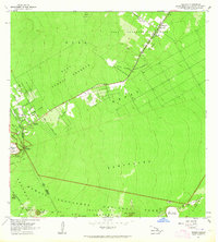 1963 Volcano1964 Print · USGSThe community of Volcano and the surrounding forest reserves are captured here in the early 1960s. Genealogists and researchers can trace the early layout of Volcano and Glenwood, alongside iconic landmarks like the Thurston Lava Tube.
 - 1963 Map of Puu Makaala, 1964 Print
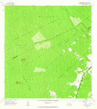 1963 Puu Makaala1964 Print · USGSThe upland forests of Hawaii's Big Island are captured here in the early 1960s as homesteading and resource management shaped the landscape. Genealogists and historians can trace family plots in the Keaau Homesteads or follow the route of the Old Railroad Grade.2 unique versions available
 - 1963 Map of Mountain View, 1964 Print
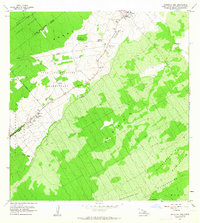 1963 Mountain View1964 Print · USGSThe Puna District comes to life in the early sixties, showing the agricultural settlements and numbered camps that defined local life. Trace family land in Olaa Reservation Homesteads and locate historic sites like Kurtistown Sch or Olaa Dispensary.2 unique versions available
 - 1975 Map of Hawaii, 1977 Print
 1975 Hawaii1977 Print · USGSThe Big Island in the mid-seventies is captured here as a landscape of volcanic giants and coastal sugar communities. Genealogists and historians can locate former plantation sites like Pepeekeo Mill or trace the routes of the Mamalahoa Highway through Kamuela.
 - 1977 Map of Volcano, 1981 Print
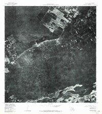 1977 Volcano1981 Print · USGSThe Big Island's volcanic landscape is captured here in the late seventies, showing the proximity of human settlements to active rift zones. Researchers can trace the residential layouts of Volcano and Glenwood alongside Kilauea Iki Crater and Napau Crater.
 - 1980 Map of Hawaii County Sheet 2, 1985 Print
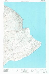 1980 Hawaii County Sheet 21985 Print · USGSThe eastern coast of the Big Island is captured here in the early eighties, showcasing the intersection of active volcanic landforms and historic plantation towns. Researchers can trace family roots through settlements like Laupahoehoe and Papaikou, or explore the road networks around Kilauea Crater and General Lyman Field.
 - 1981 Map of Mountain View
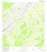 1981 Mountain View1981 Print · USGSThe Puna District comes into focus during the early 1980s as agricultural camps transitioned into established residential communities. Genealogists and historians can trace old homestead boundaries and plantation life through Ninemile Camp, Kurtistown, and the Ola A Homesteads.
 - 1981 Map of Puu Makaala
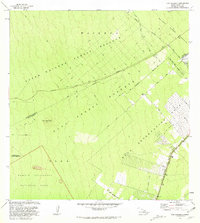 1981 Puu Makaala1981 Print · USGSThe upland forests of Hawaii's Big Island are captured here in the early eighties, showing the transition from wild reserves to homesteads. Researchers can trace the Old Railroad Grade or locate early rural infrastructure like the Olaa Homestead Road and Stainback Highway.
 - 1981 Map of Volcano
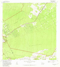 1981 Volcano1981 Print · USGSSettlement and volcanic activity meet on the Island of Hawaii in the early eighties. Researchers can trace the grid-work of the Olaa Summer Lots and Kilauea Settlement Lots against the Crater Rim Trail and Glenwood.
 - 1982 Map of Kulani
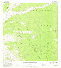 1982 Kulani1982 Print · USGSThe eastern slopes of Mauna Loa in the early 1980s reveal a landscape shaped by lava flows and high-elevation outposts. Researchers can trace the footprints of the Kulani Correctional Facility, the Mauna Loa Boys School, and historical sites like Keawewai Cabin.
 - 1993 Map of Kulani, 2001 Print
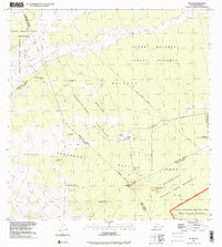 1993 Kulani2001 Print · USGSThe slopes of Mauna Loa appear in the early 1990s as a landscape of massive lava flows and high-altitude reserves. You can trace the footprint of the Kūlani Correctional Facility, the Mauna Loa Boys School, and historical sites like Waiākea Camp (Site).
 - 1994 Map of Puumakaala, 2002 Print
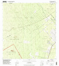 1994 Puumakaala2002 Print · USGSThe Big Island's forested uplands are captured in the 1990s as homesteading and wilderness conservation intersect. Genealogists and historians can trace the layout of the 'Ōla'a Reservation Homesteads and follow an old Railroad Grade through the dense forest.
Showing maps 1-25 of 39
Top cities near Mountain View
Top neighborhoods of Mountain View
Frequently asked questions
- What are the different types of historical maps available for Mountain View?
- What is the oldest map of Mountain View?
- Where can I purchase historical maps of Mountain View for my home or office?
- Where can I download high-res historical maps of Mountain View?
- Are there historical topographic maps available for Mountain View?
- Is there historical aerial imagery available for Mountain View?
- Where are historical maps of Mountain View sourced from?