Old Maps of Iroquois Point, Hawaii for Academic Research
Study the evolution of Iroquois Point with 13 high-resolution historic maps. Whether you're teaching, researching, or modeling changes in land use, these maps provide essential visual documentation of urban, environmental, and geographic change.
- Analyze long-term change: Track patterns in development, transportation, and natural features.
- Ideal for environmental or urban studies: Support academic projects with primary historical map data.
- Use in the classroom or lab: Educators and researchers rely on these maps to bring historical context to life.
These maps are a powerful tool for teaching, research, and visualizing how Iroquois Point has changed over the decades.
Iroquois Point, HI maps
(13)- 1953 Map of Puuloa, 1956 Print
 1953 Puuloa1956 Print · USGSHonolulu and Pearl Harbor are documented here during a period of significant military and aviation expansion. Researchers can trace the mid-century footprints of the Damon Tract, locate Nimitz Sch, and explore the layout of Ford Island.
 - 1954 Map of Oahu
 1954 Oahu1954 Print · USGSMid-century Oahu is caught between its plantation roots and its growing role as a Pacific military hub. Trace the OR and L Co rail lines and explore the 1950s footprints of Pearl Harbor, Libbyville, and Waipahu.
 - 1959 Map of Puuloa, 1961 Print
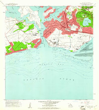 1959 Puuloa1961 Print · USGSThe Pearl Harbor vicinity in the late fifties showcases a landscape transformed by global aviation and defense. Researchers can trace the mid-century footprints of Hickam Village, the Honolulu Observatory, and the historic Salt Evaporators.2 unique versions available
 - 1961 Map of Oahu
 1961 Oahu1961 Print · USGSOahu's strategic landscape is captured here during the early statehood era, showing the balance between burgeoning urban centers and massive military installations. Trace the path of the Oahu Railway and Land Co or locate historical sites like Schofield Barracks and Punchbowl Hill.
 - 1965 Map of Oahu
 1965 Oahu1965 Print · USGSOahu in the mid-sixties reveals a landscape defined by significant military installations and growing coastal communities. Researchers can trace the infrastructure of Pearl Harbor, Schofield Barracks, and landmarks like Diamond Head.2 unique versions available
 - 1968 Map of Puuloa, 1970 Print
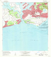 1968 Puuloa1970 Print · USGSThe southern coast of Oahu in the late sixties shows the deep integration of military and civilian life around the harbor. Trace the footprints of Hickam Air Force Base, find the memorial sites for the USS Arizona and USS Utah, or locate neighborhood landmarks like Campbell High Sch and Ewa Beach.2 unique versions available
 - 1970 Map of Oahu, 1973 Print
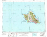 1970 Oahu1973 Print · USGSOahu was entering a new era of suburban and military expansion in the early seventies. Trace the growth of Mililani Town and Pearl City, or locate historic sites like Schofield Barracks and Diamond Head State Monument.2 unique versions available
 - 1981 Map of Puuloa
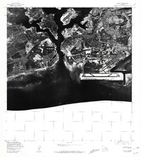 1981 Puuloa1981 Print · USGSThe coastal interface of Honolulu comes into sharp focus in the late 1970s through this aerial orthophotoquad. Researchers can trace the massive scale of 20th-century coastal engineering around Ahua Pt and the rugged shoreline at Keahi Point.
 - 1983 Map of Pearl Harbor, 1984 Print
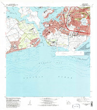 1983 Pearl Harbor1984 Print · USGSPearl Harbor and Honolulu's coast are shown here in the early eighties as a dense network of military installations and suburban growth. Researchers can locate the USS Arizona and USS Utah memorials, or trace the development of Ewa Beach and Aliamanu.2 unique versions available
 - 1999 Map of Pearl Harbor, 2000 Print
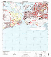 1999 Pearl Harbor2000 Print · USGSThe southern coast of Oahu appears in remarkable detail at the end of the millennium, showing the dense military and civilian footprint around Pearl Harbor. Researchers can trace the layout of Hickam Air Force Base, find the USS Arizona Memorial, and locate local landmarks like Aloha Stadium.
 - 2013 Map of Pearl Harbor, 2013 Print
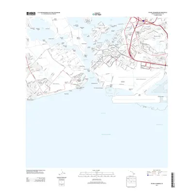 2013 Pearl Harbor2013 Print · USGSThe naval and aviation landscape of Oahu is captured here in the early twenty-first century, centered on the historic lochs of Pearl Harbor. Researchers can trace the layout of Ford Island NALF, the USS Arizona Memorial, and neighborhood growth in Aliamanu and Foster Village.
 - 2017 Map of Pearl Harbor, 2017 Print
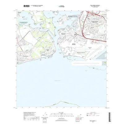 2017 Pearl Harbor2017 Print · USGSThe southern coast of Oahu in the twenty-tens reveals a landscape deeply defined by naval history and modern aviation. Researchers can trace the layout of JBPHH Pearl Harbor HI, the memorial at Ford Island, and the massive Daniel K Inouye International Airport.
 - 2024 Map of Pearl Harbor, 2024 Print
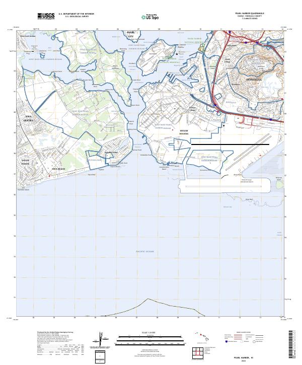 2024 Pearl Harbor2024 Print · USGSHonolulu's southern coast is a modern landscape of strategic military bases and urban growth in the twenty-first century. Researchers can trace the layout of Joint Base Pearl Harbor-Hickam and the USS Arizona Memorial alongside neighborhoods like Iroquois Point and Ewa Beach.
End of results
Showing maps 1-13 of 13
Frequently asked questions
- What are the different types of historical maps available for Iroquois Point?
- What is the oldest map of Iroquois Point?
- Where can I purchase historical maps of Iroquois Point for my home or office?
- Where can I download high-res historical maps of Iroquois Point?
- Are there historical topographic maps available for Iroquois Point?
- Is there historical aerial imagery available for Iroquois Point?
- Where are historical maps of Iroquois Point sourced from?