Old Maps of Mokuleia, Waialua, Hawaii
Explore 19 old maps of Mokuleia, Waialua, spanning from 1953 to today. These high-resolution historic maps reveal how streets, neighborhoods, landmarks, and natural features evolved over time — perfect for genealogy, metal detecting, research, and local history exploration.
What you can do with these maps:
- See how Mokuleia, Waialua changed over time: Compare historical maps to modern-day views to trace roads, homesites, rail lines & more.
- View detailed metadata: Each map includes creators, publishers, year, scale, and archive source.
- Overlay maps with satellite & LiDAR: Visualize the past alongside modern tools to explore terrain & human change.
- Trusted historical sources: Maps sourced from the USGS, Library of Congress, and other archives.
- Access maps your way: View online, download high-res files, or order prints for personal or research use.
Start exploring old maps of Mokuleia, Waialua to uncover forgotten places, hidden landmarks, and the deep history beneath your feet.
Mokuleia, Waialua, HI maps
(19)- 1953 Map of Haleiwa, 1954 Print
 1953 Haleiwa1954 Print · USGSOahu's North Shore thrived as a plantation powerhouse in the early fifties, where sugar production and military presence shaped the land. Genealogists can trace family footprints through Kemoo Camp, Poamoho Camp, and the Kawailoa Soto Mission and School.
 - 1954 Map of Oahu
 1954 Oahu1954 Print · USGSMid-century Oahu is caught between its plantation roots and its growing role as a Pacific military hub. Trace the OR and L Co rail lines and explore the 1950s footprints of Pearl Harbor, Libbyville, and Waipahu.
 - 1954 Map of Kaena, 1955 Print
 1954 Kaena1955 Print · USGSThe western tip of Oahu is captured here in the mid-1950s, showing a landscape of coastal ranches and military airfields. Researchers can trace the Old Railroad Grade, locate the ancient Heiau at Keaau Homesteads, or find the Makua (Site) in the shadow of the peaks.
 - 1960 Map of Haleiwa, 1961 Print
 1960 Haleiwa1961 Print · USGSOahu's North Shore and the Wahiawa Plateau are documented here during the height of the mid-century plantation era. Genealogists and historians can trace laborers' quarters at Poamoho Camp, the industrial Sugar Mill in Waialua, and the layout of Schofield Barracks.2 unique versions available
 - 1961 Map of Oahu
 1961 Oahu1961 Print · USGSOahu's strategic landscape is captured here during the early statehood era, showing the balance between burgeoning urban centers and massive military installations. Trace the path of the Oahu Railway and Land Co or locate historical sites like Schofield Barracks and Punchbowl Hill.
 - 1964 Map of Kaena, 1966 Print
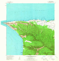 1964 Kaena1966 Print · USGSThe western tip of Oahu is documented here in the mid-1960s, showing a blend of cattle ranching, military defense, and forest reserves. Researchers can locate the Old Railroad Grade, ranch holdings like Campbell Ranch, and landmarks like Kaneana Cave.
 - 1965 Map of Oahu
 1965 Oahu1965 Print · USGSOahu in the mid-sixties reveals a landscape defined by significant military installations and growing coastal communities. Researchers can trace the infrastructure of Pearl Harbor, Schofield Barracks, and landmarks like Diamond Head.2 unique versions available
 - 1970 Map of Oahu, 1973 Print
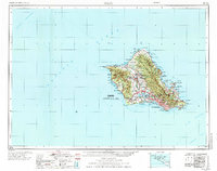 1970 Oahu1973 Print · USGSOahu was entering a new era of suburban and military expansion in the early seventies. Trace the growth of Mililani Town and Pearl City, or locate historic sites like Schofield Barracks and Diamond Head State Monument.2 unique versions available
 - 1977 Map of Haleiwa, 1984 Print
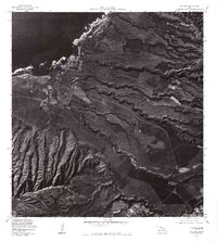 1977 Haleiwa1984 Print · USGSThe North Shore of Oahu comes into focus during the late seventies, showing the coastal community of Haleiwa and its surrounding agricultural fields. Researchers can trace land use patterns near Puaena Point and the military grounds of Schofield Barracks.
 - 1977 Map of Kaena, 1984 Print
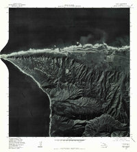 1977 Kaena1984 Print · USGSThe western tip of Oahu is captured in the late seventies, showing the sharp divide between coastal development and the steep interior. Trace the shoreline from the airfield at Mokuleia around Kaena Point to the dramatic mouth of Makua Valley.
 - 1983 Map of Haleiwa
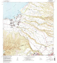 1983 Haleiwa1983 Print · USGSOahu's North Shore is captured here in the early 1980s, documenting the vital irrigation networks and plantation camps of the coastal plains. Researchers can trace the layout of Haleiwa, locate the Sugar Mill in Waialua, or explore military history at Schofield Barracks Military Reservation.
 - 1998 Map of Kaena, 2000 Print
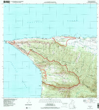 1998 Kaena2000 Print · USGSThe western tip of O'ahu's Waialua and Wai'anae districts comes into focus at the end of the century. You can trace the boundaries of the Makua Military Reservation and historic estates like Dillingham Ranch or Crowbar Ranch.
 - 1999 Map of Haleiwa, 2000 Print
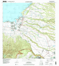 1999 Haleiwa2000 Print · USGSThe North Shore of O‘ahu shows its plantation and military character at the end of the millennium. Researchers can locate legacy sites like the Sugar Mill and Kūkaniloko Birthstones State Monument or trace workers' housing at Kemo‘o Camp 4.
 - 2013 Map of Haleiwa, 2013 Print
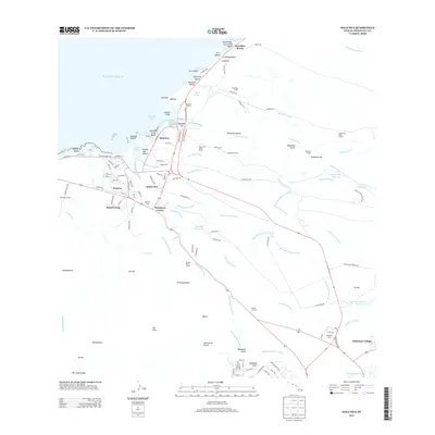 2013 Haleiwa2013 Print · USGSThe North Shore of O'ahu is captured here in a 2013 snapshot of its evolving agricultural and coastal landscape. Local historians can trace the legacy of plantation life through the locations of Ranch Camp, Kemo‘o Camp, and the extensive Ito Ditch irrigation system.
 - 2013 Map of Kaena, 2013 Print
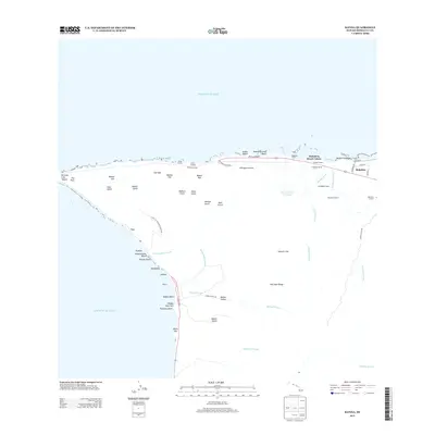 2013 Kaena2013 Print · USGSOahu's northwestern tip comes into focus in this recent survey, showcasing the ranching traditions and coastal camps of the North Shore. Genealogists and historians can trace the bounds of Dillingham Ranch and locate centers like Mokuleia Camp 1.
 - 2017 Map of Haleiwa, 2017 Print
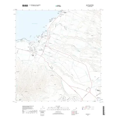 2017 Haleiwa2017 Print · USGSO'ahu's North Shore and the agricultural uplands are captured in this 2017 survey, showing the transition from surf-line beaches to plantation-era irrigation. Researchers can trace water systems like the Kamananui Ditch or locate Ranch Camp, Pu'uiki Cem, and Whitmore Village.
 - 2017 Map of Kaena, 2017 Print
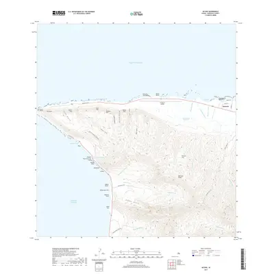 2017 Kaena2017 Print · USGSThe western tip of Oahu at the turn of the 21st century reveals a landscape where high volcanic ridges meet the Pacific. Trace the remote coastal reaches from Yokohama Bay to Mokulē‘ia, identifying landmarks like Dillingham Airfield and the steep Manini Pali.
 - 2024 Map of Haleiwa, 2024 Print
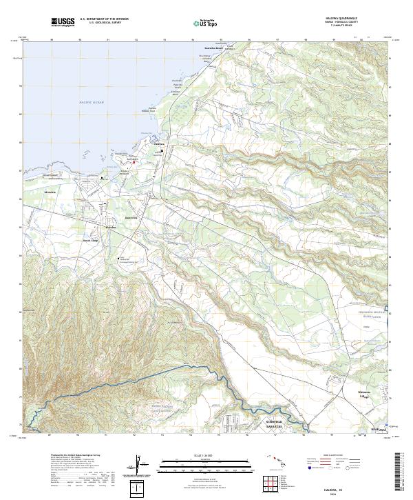 2024 Haleiwa2024 Print · USGSThe north shore of O’ahu at the start of the 2020s shows a complex blend of coastal life and military infrastructure. Researchers can trace historic local sites such as the Liliʙokalani Church Cem or the industrial legacy of the Wilson Ditch and Ranch Camp.
 - 2024 Map of Kaena, 2024 Print
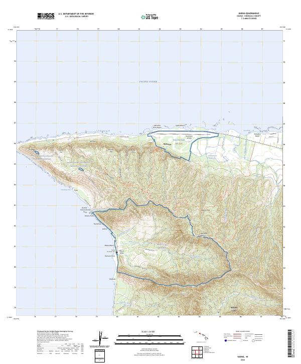 2024 Kaena2024 Print · USGSThe western extremity of Oahu is captured in the mid-2020s, showing a landscape defined by military reserves and steep coastal palis. Researchers can locate the Makua Protestant Cem, trace the Wai'anae Range ridges, and identify the Kaena Point Satellite Tracking Station.
End of results
Showing maps 1-19 of 19
Frequently asked questions
- What are the different types of historical maps available for Mokuleia, Waialua?
- What is the oldest map of Mokuleia, Waialua?
- Where can I purchase historical maps of Mokuleia, Waialua for my home or office?
- Where can I download high-res historical maps of Mokuleia, Waialua?
- Are there historical topographic maps available for Mokuleia, Waialua?
- Is there historical aerial imagery available for Mokuleia, Waialua?
- Where are historical maps of Mokuleia, Waialua sourced from?