Old Maps of Upper Makakilo, Hawaii for Genealogy
Trace your family roots with 13 historic maps of Upper Makakilo. These high-res maps reveal old neighborhoods, homesites, landmarks, and streets — helping you uncover where your ancestors lived and how the area evolved over time.
- Explore historic neighborhoods: Identify where your relatives may have lived in the 1800s or 1900s.
- Compare maps over time: Trace the changes in streets, buildings, and landmarks for multi-generational research.
- Perfect for genealogy & ancestry research: Used by family historians and researchers to map out lineage and migration.
These maps are an incredible resource for exploring your personal connection to Upper Makakilo's past.
Upper Makakilo, HI maps
(13)- 1953 Map of Ewa, 1956 Print
 1953 Ewa1956 Print · USGSCoastal Oahu in the early fifties was a landscape of military aviation and plantation life. Genealogists can trace family footprints through numerous worker settlements like Tenney Village and Renton Village or find the Sugar Mill that drove the local economy.
 - 1954 Map of Oahu
 1954 Oahu1954 Print · USGSMid-century Oahu is caught between its plantation roots and its growing role as a Pacific military hub. Trace the OR and L Co rail lines and explore the 1950s footprints of Pearl Harbor, Libbyville, and Waipahu.
 - 1961 Map of Oahu
 1961 Oahu1961 Print · USGSOahu's strategic landscape is captured here during the early statehood era, showing the balance between burgeoning urban centers and massive military installations. Trace the path of the Oahu Railway and Land Co or locate historical sites like Schofield Barracks and Punchbowl Hill.
 - 1962 Map of Ewa, 1963 Print
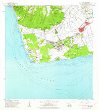 1962 Ewa1963 Print · USGSCoastal Oahu in the early sixties showcases a transition from plantation life to a modern military and industrial hub. Genealogists can trace family connections in Ewa and its surrounding worker communities like Tenney Village or Varona Village, while researchers can locate the massive Barbers Point Naval Air Station.2 unique versions available
 - 1965 Map of Oahu
 1965 Oahu1965 Print · USGSOahu in the mid-sixties reveals a landscape defined by significant military installations and growing coastal communities. Researchers can trace the infrastructure of Pearl Harbor, Schofield Barracks, and landmarks like Diamond Head.2 unique versions available
 - 1968 Map of Ewa, 1970 Print
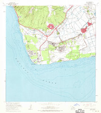 1968 Ewa1970 Print · USGSCoastal Oahu at the end of the sixties reveals a transition from sugar plantation life to military and industrial expansion. Genealogists and historians can trace the layouts of Varona Village, see the massive Barbers Point Naval Air Station, and find old infrastructure like the OR & L railroad.
 - 1970 Map of Oahu, 1973 Print
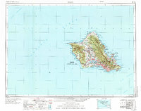 1970 Oahu1973 Print · USGSOahu was entering a new era of suburban and military expansion in the early seventies. Trace the growth of Mililani Town and Pearl City, or locate historic sites like Schofield Barracks and Diamond Head State Monument.2 unique versions available
 - 1977 Map of Ewa, 1981 Print
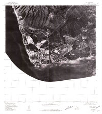 1977 Ewa1981 Print · USGSThe southwestern coast of Oahu comes into sharp focus in the late seventies as industrial and military infrastructure expands across the Ewa plain. Researchers can trace the massive runway layouts near Barbers Point and identify coastal landmarks like Kahe Point.
 - 1983 Map of Ewa
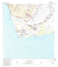 1983 Ewa1983 Print · USGSThe Ewa Plain of Oahu in the early eighties shows a unique landscape where plantation villages and a major naval air station meet. Genealogists and historians can trace residential roots in Tenney Village and Renton Village or locate the historic Sugar Mill and Barbers Point Light.2 unique versions available
 - 1998 Map of Ewa, 2000 Print
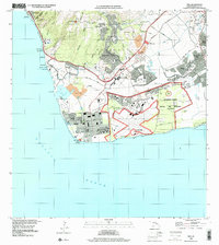 1998 Ewa2000 Print · USGSThe Ewa Plain was in a state of rapid transformation at the end of the century as military lands transitioned to civilian use. Researchers can trace the layout of Naval Air Station Barbers Point and locate the historic plantation clusters of Tenney Village and Fernandez Village.
 - 2013 Map of Ewa, 2013 Print
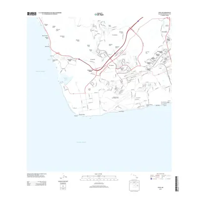 2013 Ewa2013 Print · USGSThe Ewa Plain and Kapolei are seen here during a decade of rapid expansion across the southwest coast of O'ahu. Local historians can trace the transition from plantation life to suburbia through historic sites like Tenney Village and Varona Village alongside Kalaeloa Airport (John Rodgers Field).
 - 2017 Map of Ewa, 2017 Print
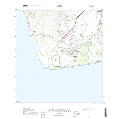 2017 Ewa2017 Print · USGSThe south shore of O‘ahu during its twenty-first-century expansion shows a landscape where military history meets modern development. Researchers can trace the legacy of plantation life and defense at Varona Village, the Ewa Community Cem, and CSO Barbers Point.
 - 2024 Map of Ewa, 2024 Print
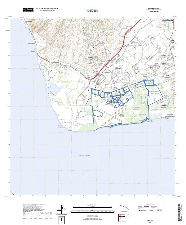 2024 Ewa2024 Print · USGSThe West O'ahu coast and Ewa Plain are shown in this recent survey during a period of significant suburban growth. Genealogists and historians can trace the traditional plantation clusters of Varona Village and Renton Village or find the Ewa Community Cem.
End of results
Showing maps 1-13 of 13
Frequently asked questions
- What are the different types of historical maps available for Upper Makakilo?
- What is the oldest map of Upper Makakilo?
- Where can I purchase historical maps of Upper Makakilo for my home or office?
- Where can I download high-res historical maps of Upper Makakilo?
- Are there historical topographic maps available for Upper Makakilo?
- Is there historical aerial imagery available for Upper Makakilo?
- Where are historical maps of Upper Makakilo sourced from?