Old Maps of Waieli, Kauai County for Metal Detecting
Plan your next treasure hunt with 8 historic maps of Waieli. Find old homesites, ghost towns, trails, and gathering spots that may be lost to time — perfect for identifying promising metal detecting locations.
- Locate forgotten sites: Uncover places like long-lost settlements, abandoned rail lines, or gathering spots.
- Plan better hunts: Use map overlays combined with LiDAR or satellite views to narrow in on historically rich areas.
- Made for detectorists: Thousands of hobbyists use these maps to discover relics, coins, and hidden history.
Use these historic maps to boost your research and find new opportunities beneath the surface of Waieli.
Waieli, Kauai County maps
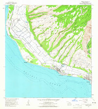
(8)- 1954 Map of Kauai
 1954 Kauai1954 Print · USGSKauai and Niihau are shown during a period of transition in the early fifties as plantation-era infrastructure began to change. Researchers can trace the Kilauea Sugar Plantation Railroad, the Anahola Settlement, and remote sites on Niihau like Puuwai.
 - 1963 Map of Kekaha, 1965 Print
 1963 Kekaha1965 Print · USGSThe southwestern Kauai coastline in the early sixties was a unique blend of sugar plantation infrastructure and strategic military outposts. Genealogists and historians can trace local life through Kekaha and Mana, alongside technical landmarks like the Kekaha Ditch and Kaunalewa Shaft.2 unique versions available
 - 1967 Map of Kauai
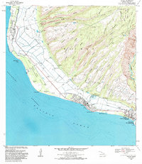
 1967 Kauai1967 Print · USGSThe Garden Isle and Niihau are shown here in the mid-sixties, capturing the island's transition from plantation roots to a more modern infrastructure. Genealogists can trace family connections in Moloaa Settlement or find coastal landmarks like Nonopapa and Kilauea Point Light.
 - 1970 Map of Kauai, 1974 Print
 1970 Kauai1974 Print · USGSThe islands of Kauai and Niihau are shown during the early 1970s, capturing the balance between military expansion and preserved wilderness. Researchers can trace the layout of Niihau's elusive villages like Puwai or explore Kauai's industrial landscape at Koloa Mill and Port Allen.2 unique versions available
 - 1983 Map of Kekaha, 1984 Print
 1983 Kekaha1984 Print · USGSThe western coast of Kauai was a landscape of military activity and irrigation engineering in the early eighties. Genealogists and researchers can trace the neighborhoods of Kekaha and Waimea, locating landmarks like St Theresa Sch and Kikiaola Harbor.
 - 2013 Map of Kekaha, 2013 Print
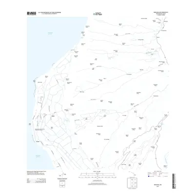 2013 Kekaha2013 Print · USGSCovers Waieli, including Kauai County, United States, and other nearby areas
 - 2017 Map of Kekaha, 2017 Print
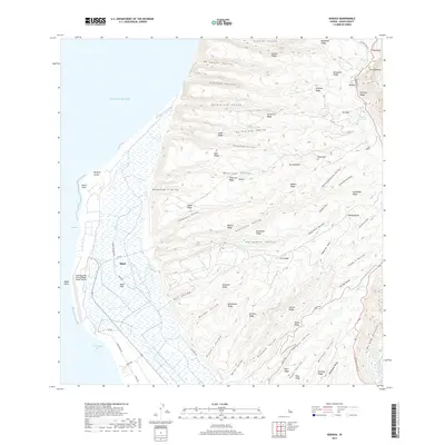 2017 Kekaha2017 Print · USGSCovers Waieli, including Kauai County, United States, and other nearby areas
 - 2024 Map of Kekaha, 2024 Print
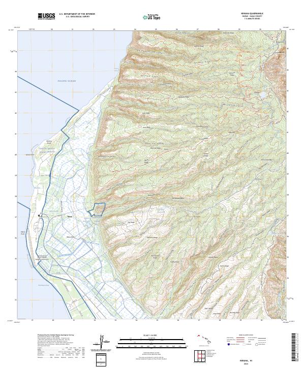 2024 Kekaha2024 Print · USGSCoastal Kauai is shown here during its modern era of military operations and enduring agricultural heritage. Genealogists and historians can trace the Mana Japanese Cem and old settlements like Mānā alongside the Pacific Missile Range Facility.
End of results
Showing maps 1-8 of 8
Frequently asked questions
- What are the different types of historical maps available for Waieli?
- What is the oldest map of Waieli?
- Where can I purchase historical maps of Waieli for my home or office?
- Where can I download high-res historical maps of Waieli?
- Are there historical topographic maps available for Waieli?
- Is there historical aerial imagery available for Waieli?
- Where are historical maps of Waieli sourced from?