Old Maps of Garden City, Idaho for Metal Detecting
Plan your next treasure hunt with 28 historic maps of Garden City. Find old homesites, ghost towns, trails, and gathering spots that may be lost to time — perfect for identifying promising metal detecting locations.
- Locate forgotten sites: Uncover places like long-lost settlements, abandoned rail lines, or gathering spots.
- Plan better hunts: Use map overlays combined with LiDAR or satellite views to narrow in on historically rich areas.
- Made for detectorists: Thousands of hobbyists use these maps to discover relics, coins, and hidden history.
Use these historic maps to boost your research and find new opportunities beneath the surface of Garden City.
Garden City, ID maps
(28)- 1892 Map of Boise
 1892 Boise1892 Print · USGSThe Boise Valley and surrounding highlands are shown here in the early 1890s as irrigation and railroads transformed the Idaho territory. Researchers can trace the early city grid near Boise Barracks and the paths of the Idaho Central Railroad and the Settlers Canal.
 - 1897 Map of Boise
 1897 Boise1897 Print · USGSBoise and the surrounding valley are captured here in the late nineteenth century as irrigation and rail networks began to reshape the high desert. Researchers can trace early water rights through the Settlers Canal or locate historic sites like the Boise Barracks and the Natatorium.4 unique versions available
 - 1953 Map of Eagle, 1955 Print
 1953 Eagle1955 Print · USGSThe Boise River valley in the early fifties shows a landscape of irrigation canals and early aviation. Genealogists can locate McMillan Chapel, Dry Creek Cem, and several schoolhouses like Green Meadows Sch.5 unique versions available
 - 1954 Map of Boise South, 1956 Print
 1954 Boise South1956 Print · USGSMid-century Boise shows a rapidly growing capital city and its vital irrigation network just before the height of the suburban boom. Genealogists and historians can trace Pioneer Cemetery, the State Penitentiary, and the original campus of Boise Jr College.2 unique versions available
 - 1954 Map of Boise North, 1957 Print
 1954 Boise North1957 Print · USGSBoise and Garden City are captured in the mid-fifties as the city began to climb the foothills and expand along the river. Genealogists and local historians can locate early institutions like the Soldiers Home, Collister Sch, and the Boise City Canal.2 unique versions available
 - 1954 Map of Boise, 1958 Print
 1954 Boise1958 Print · USGSBoise and the surrounding Idaho foothills are captured here in the mid-fifties, just as suburban expansion began meeting the rugged edge of the Boise National Forest. Researchers can trace the Old Oregon Trail, locate the State Penitentiary, and find long-established schools like St Marys Sch.2 unique versions available
 - 1955 Map of Boise, 1977 Print
 1955 Boise1977 Print · USGSThe Treasure Valley and Owyhee uplands are shown in detail during the mid-fifties, capturing the region's transition into a major agricultural and urban hub. Researchers can trace the Union Pacific line through Nampa, explore the volcanic Jordan Craters, or locate the historic mining district of Silver City.
 - 1958 Map of Boise
 1958 Boise1958 Print · USGSThe Treasure Valley and Snake River Plain come alive in the mid-fifties as the rail-and-river economy transitions into a modern agricultural hub. Trace the Union Pacific lines through Nampa or locate remote landmarks like Initial Point and the Rockville settlement.2 unique versions available
 - 1962 Map of Boise
 1962 Boise1962 Print · USGSThe Treasure Valley at the start of the sixties reveals a landscape of expanding towns and complex irrigation networks along the Snake River. Genealogists and historians can trace the foundations of modern Idaho through markers like Initial Point, the mining history of Silver City, and the early infrastructure of Lucky Peak Dam.
 - 1972 Map of Boise North, 1975 Print
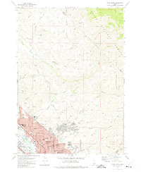 1972 Boise North1975 Print · USGSBoise and Garden City expand into the Idaho foothills during the early seventies, showing a growing urban grid meeting the national forest. Researchers can trace neighborhood development and local history through landmarks like Lowell Sch, the Old Military Reservation, and Stewart Gulch.3 unique versions available
 - 1972 Map of Boise South, 1976 Print
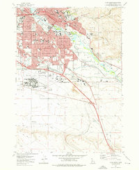 1972 Boise South1976 Print · USGSBoise and the surrounding Idaho plains are captured during a decade of rapid modernization and civic growth. Researchers can trace the mid-century layout of Boise State College or locate the historic Military Cem and the State Penitentiary.4 unique versions available
 - 1981 Map of Boise
 1981 Boise1981 Print · USGSThe Boise River valley and Treasure Plain are captured here in the early eighties as urban expansion began to link the regional hubs of the Snake River plain. Researchers can trace the development of Nampa, Caldwell, and Meridian or locate landmarks like Lake Lowell and Eagle Island State Park.2 unique versions available
 - 1998 Map of Eagle, 2002 Print
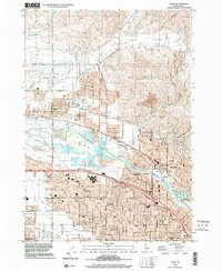 1998 Eagle2002 Print · USGSThe Boise River valley is captured here in a period of transition as suburban expansion meets historic agriculture. Genealogists and historians can trace family-named sites like McMillan Chapel, find the Joplin Cem, and locate several abandoned schoolhouses.
 - 2010 Map of Boise South, 2010 Print
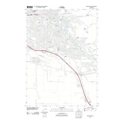 2010 Boise South2010 Print · USGSBoise and the surrounding valley are captured here in 2010, showcasing the city's growth alongside its historic irrigation network. Researchers can trace the paths of the New York Canal and Ridenbaugh Canal or locate local landmarks like the State Capitol and Morris Hill Cemetery.
 - 2010 Map of Eagle, 2010 Print
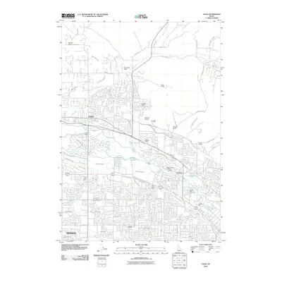 2010 Eagle2010 Print · USGSThe Boise River valley comes into sharp focus during a period of rapid development between Eagle and Meridian. Researchers can trace the extensive irrigation network including the Settlers Canal, locate the Idaho State Veterans Cemetery, and find local aviation landmarks like Bradley Field.
 - 2011 Map of Boise North, 2011 Print
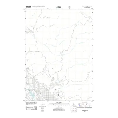 2011 Boise North2011 Print · USGSBoise's northern suburban reach meets the steep foothills during the early twenty-first century. Researchers can trace the path of historic irrigation via the Boise City Canal, locate the West State school, and explore the gulches near Collister.
 - 2013 Map of Boise North, 2013 Print
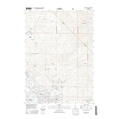 2013 Boise North2013 Print · USGSBoise and the surrounding foothills appear in the early 2010s as suburban development meets the Boise National Forest. Researchers can trace early irrigation routes like the Farmers Union Canal or locate landmarks such as the Peaceful Cove Airport.
 - 2013 Map of Eagle, 2013 Print
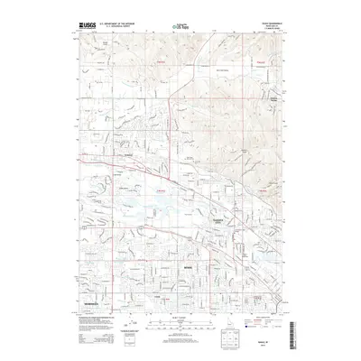 2013 Eagle2013 Print · USGSThe Boise River corridor and Treasure Valley suburbs are captured here during a period of rapid growth in the early twenty-first century. Researchers can trace the legacy of early water rights through irrigation systems like the Thurman Mill Canal or locate local landmarks such as Thurman Mill and the Western Idaho Fairgrounds.
 - 2013 Map of Boise South, 2013 Print
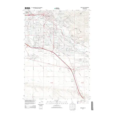 2013 Boise South2013 Print · USGSGreater Boise in the early twenty-first century reveals a landscape defined by its historic irrigation canals and rapid urban growth. Researchers can trace early burial sites at Pioneer Cem or follow the water lines of the New York Canal and Ridenbaugh Canal.
 - 2017 Map of Boise South, 2017 Print
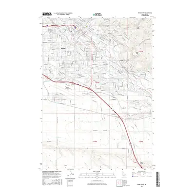 2017 Boise South2017 Print · USGSBoise and the surrounding high desert valley are shown in the twenty-first century, revealing an intricate urban landscape tied to its historic irrigation canals. Researchers can trace the layout of the city's oldest burial grounds at Pioneer Cem or study the extensive grounds of Boise Air Terminal/Gowen Field.
 - 2017 Map of Eagle, 2017 Print
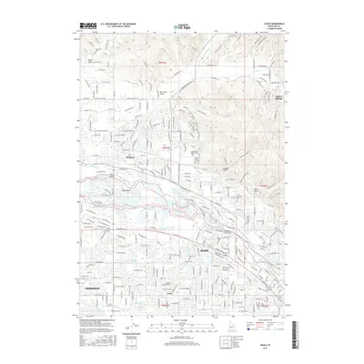 2017 Eagle2017 Print · USGSThe northern Boise Valley and Eagle area are captured here in a period of significant suburban expansion and water management. Researchers can trace the path of the Boise River around Eagle Island or locate local landmarks like the Dry Creek Cem and Boise Bible Coll.
 - 2017 Map of Boise North, 2017 Print
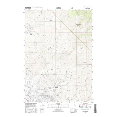 2017 Boise North2017 Print · USGSThe Boise foothills in the late 2010s show the meeting point of Idaho's capital and the mountain wilderness. Trace the modern expansion of Highlands and Hidden Springs or locate rural landmarks like Peaceful Cove Airport.
 - 2020 Map of Boise North, 2020 Print
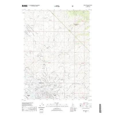 2020 Boise North2020 Print · USGSThe foothills north of Idaho’s capital are shown here in modern detail, where the city meets the Boise National Forest. Researchers can trace the paths of the Boise City Canal or explore the extensive trail networks around Bogus Basin and Hulls Gulch.
 - 2020 Map of Boise South, 2020 Print
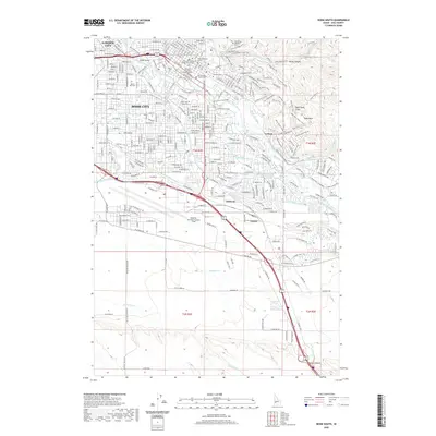 2020 Boise South2020 Print · USGSBoise enters the 2020s as a thriving capital, where the historic core around the Idaho Supreme Court meets an extensive network of modern greenways and irrigation canals. Genealogists and local historians can trace legacy sites like Morris Hill Cem and Fort Boise Military Cem, or locate the specific campus footprints of Boise State University.
 - 2020 Map of Eagle, 2020 Print
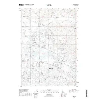 2020 Eagle2020 Print · USGSThe growing suburban corridor between Eagle and Meridian is documented here as it appeared in the late twenty-tens. Genealogists and historians can trace local landmarks like the Idaho State Veterans Cem, Ustick, and the winding Boise River Greenbelt.
Showing maps 1-25 of 28
Top cities near Garden City
- Boise historical maps
- Meridian historical maps
- Nampa historical maps
- Eagle historical maps
- Kuna historical maps
- Star historical maps
See more
Frequently asked questions
- What are the different types of historical maps available for Garden City?
- What is the oldest map of Garden City?
- Where can I purchase historical maps of Garden City for my home or office?
- Where can I download high-res historical maps of Garden City?
- Are there historical topographic maps available for Garden City?
- Is there historical aerial imagery available for Garden City?
- Where are historical maps of Garden City sourced from?