Old Maps of Lava Hot Springs, Idaho for Academic Research
Study the evolution of Lava Hot Springs with 27 high-resolution historic maps. Whether you're teaching, researching, or modeling changes in land use, these maps provide essential visual documentation of urban, environmental, and geographic change.
- Analyze long-term change: Track patterns in development, transportation, and natural features.
- Ideal for environmental or urban studies: Support academic projects with primary historical map data.
- Use in the classroom or lab: Educators and researchers rely on these maps to bring historical context to life.
These maps are a powerful tool for teaching, research, and visualizing how Lava Hot Springs has changed over the decades.
Lava Hot Springs, ID maps
(27)- 1948 Map of Bancroft, 1963 Print
 1948 Bancroft1963 Print · USGSBancroft and the Gentile Valley are captured here during the post-war era of hydroelectric and agricultural expansion. Local historians can trace the irrigation canals and power plants along the Bear River, alongside vanished landmarks like the Telluride Sch and Leadville Mine.2 unique versions available
 - 1949 Map of Bancroft
 1949 Bancroft1949 Print · USGSBancroft and the Gentile Valley are captured here in the late 1940s, showing a landscape defined by the Union Pacific rail line and early hydroelectric power. Researchers can locate the Leadville Mine, the Telluride School, and numerous family-named landmarks like Kackley Spr and Barfuss Road.
 - 1954 Map of Pocatello, 1963 Print
 1954 Pocatello1963 Print · USGSSoutheast Idaho in the mid-1950s reveals a landscape shaped by massive water reclamation and mountain forests. Researchers can trace the development of the Fort Hall Indian Reservation or locate specific landmarks like the Arbon P O and Emerson School.4 unique versions available
 - 1955 Map of Preston, 1968 Print
 1955 Preston1968 Print · USGSSoutheast Idaho and western Wyoming are shown in detail during the mid-fifties, from the high Bear River Range to the Green River Basin. Genealogists and collectors can trace the Union Pacific RR through historic towns like Preston, Montpelier, and Afton.3 unique versions available
 - 1958 Map of Pocatello
 1958 Pocatello1958 Print · USGSSoutheastern Idaho in the late fifties was a landscape of expanding reservoirs and historic trails. Genealogists and historians can trace the Old Oregon Trail, locate the Bannock Creek Indian Day School, and study the many Union Pacific rail sidings.2 unique versions available
 - 1958 Map of Preston
 1958 Preston1958 Print · USGSThe high valleys of the Idaho and Wyoming borderlands are captured here in the late fifties, showcasing a landscape of mountain ranching and phosphate mining. Genealogists and historians can locate early settlements like Chesterfield and Bedford or trace the Union Pacific rail lines serving Cokeville.2 unique versions available
 - 1962 Map of Preston
 1962 Preston1962 Print · USGSSoutheast Idaho and the Wyoming borderlands are captured here in the early sixties, a time of thriving agricultural valleys and mountain ranching. Researchers can trace the Union Pacific rail lines and find legacy settlements like Montpelier, Afton, and Preston.
 - 1968 Map of Lava Hot Springs, 1972 Print
 1968 Lava Hot Springs1972 Print · USGSSoutheastern Idaho's canyon country comes into focus in the late 1960s as the town of Lava Hot Springs develops along the Union Pacific rail line. Genealogists and local historians can trace family-named landmarks like Christenson Spring, Chatterton Road, and the Lava Hot Springs Cem.2 unique versions available
 - 1968 Map of Haystack Mtn, 1973 Print
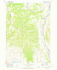 1968 Haystack Mtn1973 Print · USGSThe high Portneuf Range and river valley are captured here in the late sixties, highlighting the intersection of federal forest lands and historic tribal borders. You can trace the Old Indian Treaty Bdy across the hills and locate landmarks like Pebble, the Robbers Roost Trail, and the river's Falls.
 - 1982 Map of Soda Springs
 1982 Soda Springs1982 Print · USGSSoutheast Idaho and the Wyoming borderlands come alive in the early eighties as a landscape of mountain ranges and industrial valleys. Genealogists and historians can locate remote family plots like Lund Cem or trace the early paths through Fivemile Meadows and the Fort Hall Indian Reservation.2 unique versions available
 - 1982 Map of Sedgwick Peak
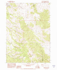 1982 Sedgwick Peak1982 Print · USGSBannock and Caribou counties meet in these high peaks during the early 1980s, where the Portneuf Range transitions into the high basins of southeast Idaho. Researchers can trace the Union Pacific rail corridor near Lava Hot Springs or locate the Lead Bell Mine (Site) near Baldy Mtn.
 - 1984 Map of Pocatello
 1984 Pocatello1984 Print · USGSSoutheast Idaho in the early eighties centers on the industrial and rail corridor between Pocatello and the Snake River. Genealogists and historians can trace routes through the Fort Hall Indian Reservation or locate family sites near American Falls and Lava Hot Springs.2 unique versions available
 - 2010 Map of Lava Hot Springs, 2010 Print
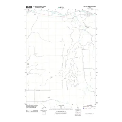 2010 Lava Hot Springs2010 Print · USGSLava Hot Springs and the surrounding Idaho canyons are captured here in the early twenty-first century as the historic town continues to thrive along the Portneuf River. Researchers can trace old family names and water rights through features like the Lava Hot Springs Cemetery, Henderson Canyon, and the Portneuf Marsh Valley Canal.
 - 2010 Map of Sedgwick Peak, 2010 Print
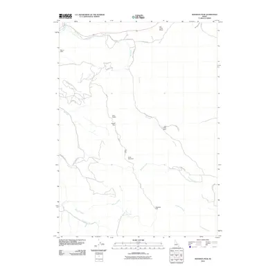 2010 Sedgwick Peak2010 Print · USGSThe high peaks of the Idaho backcountry are documented here in the early twenty-first century as the landscape transitioned through modern land use. Researchers can locate legacy mining sites like the Lead Bell Mine and trace drainage networks from Sedgwick Peak to Fish Creek Basin.
 - 2011 Map of Haystack Mountain, 2011 Print
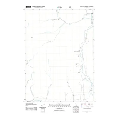 2011 Haystack Mountain2011 Print · USGSBannock County's high-relief landscape is shown here in the early 21st century, centered on the dramatic rise of Haystack Mountain. Genealogists and historians can trace the path of the Old Oregon Trail Rd or locate the early rail-side site of Pebble Siding.
 - 2013 Map of Sedgwick Peak, 2013 Print
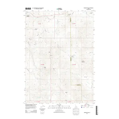 2013 Sedgwick Peak2013 Print · USGSSoutheast Idaho's high ridges and thermal springs are captured here in the early twenty-first century. Researchers can trace the path of the Columbia River Great Basin Divide and locate remote landmarks like Sedgwick Peak, Lava Hot Springs, and the Portneuf Range.
 - 2013 Map of Haystack Mountain, 2013 Print
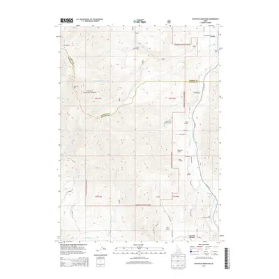 2013 Haystack Mountain2013 Print · USGSThe high country near Lava Hot Springs is captured here in the early twenty-first century, showing the intersection of the Portneuf River and the Caribou National Forest. Trace the local topography through landmarks like Haystack Mtn, the railroad at Pebble Siding, and Crystal Springs.
 - 2013 Map of Lava Hot Springs, 2013 Print
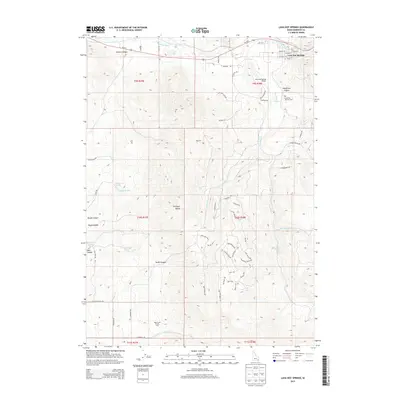 2013 Lava Hot Springs2013 Print · USGSLava Hot Springs and the surrounding Portneuf Range are captured here in the early twenty-first century as the area continued its role as a regional hub for recreation and transit. Researchers can trace local lineage at the Lava Hot Springs Cem or locate family landmarks near Chatterton Spring and Henderson Canyon.
 - 2017 Map of Lava Hot Springs, 2017 Print
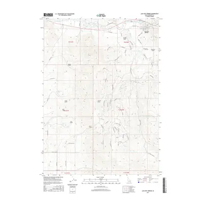 2017 Lava Hot Springs2017 Print · USGSLava Hot Springs sits at a geologic crossroads in the Portneuf Range during this recent era of Idaho history. Genealogists and local historians can trace family land near Lava Hot Springs Cem or follow the waters of Dempsey Cr and Arkansas Cr into the surrounding canyons.
 - 2017 Map of Sedgwick Peak, 2017 Print
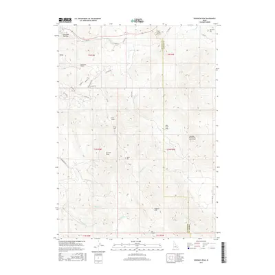 2017 Sedgwick Peak2017 Print · USGSSoutheast Idaho mountain country meets the famous Lava Hot Springs in this recent survey of the Portneuf Range. Local historians can trace the high-elevation paths of the Wyoming Trl and the divide between the Portneuf River and Fish Creek Basin.
 - 2017 Map of Haystack Mountain, 2017 Print
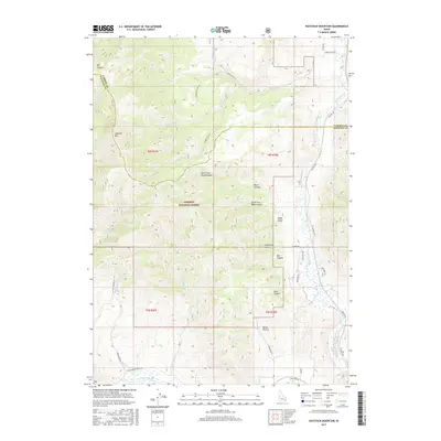 2017 Haystack Mountain2017 Print · USGSThe Bannock and Caribou county line near Lava Hot Springs is shown here in the mid-2010s, where high ridges overlook the river valley. Genealogists and historians can trace the paths of E Old Oregon Trail Rd and Old Hwy 30 alongside Crystal Springs.
 - 2020 Map of Sedgwick Peak, 2020 Print
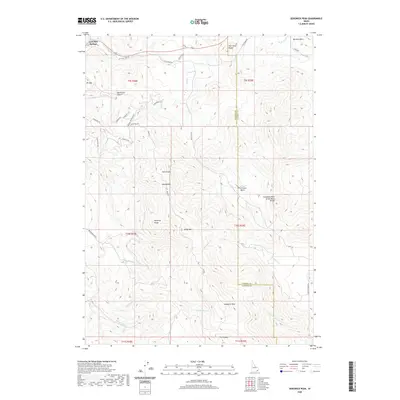 2020 Sedgwick Peak2020 Print · USGSSoutheast Idaho's mountainous high country is detailed in this 2020 survey, centered on the heights of the Portneuf Range. Trace the rugged terrain from Lava Hot Springs to Sedgwick Peak and the Columbia River Great Basin Divide.
 - 2020 Map of Haystack Mountain, 2020 Print
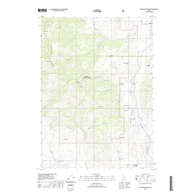 2020 Haystack Mountain2020 Print · USGSBannock County's mountain terrain and the historic Portneuf River valley are shown here in the contemporary era. Trace the legacy of westward migration along E Old Oregon Trail Rd or explore the rugged backcountry of Caribou National Forest and Haystack Mtn.
 - 2020 Map of Lava Hot Springs, 2020 Print
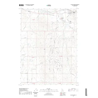 2020 Lava Hot Springs2020 Print · USGSLava Hot Springs and the surrounding Portneuf Range appear here at the start of the 2020s, revealing a landscape defined by deep canyons and mountain springs. Genealogists and local historians can locate the Lava Hot Springs Cem and trace early routes along E Old Oregon Trail Rd or Dempsey Cr.
 - 2023 Map of Sedgwick Peak, 2023 Print
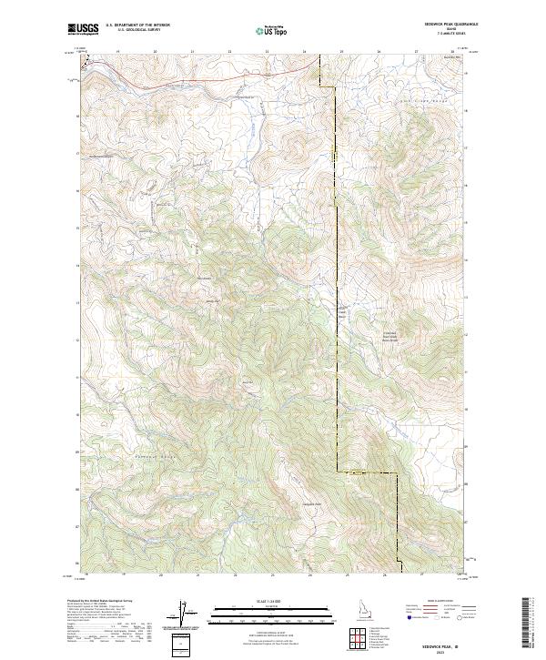 2023 Sedgwick Peak2023 Print · USGSBannock and Caribou counties are shown here in the 2020s, centered on the high ridges where the Portneuf and Fish Creek ranges converge. Researchers can trace the Columbia River Great Basin Divide and locate remote landmarks like Sedgwick Peak and Baldy Mtn.
Showing maps 1-25 of 27
Top cities near Lava Hot Springs
- McCammon historical maps
- Inkom historical maps
- Downey historical maps
- Bancroft historical maps
- Arimo historical maps
Frequently asked questions
- What are the different types of historical maps available for Lava Hot Springs?
- What is the oldest map of Lava Hot Springs?
- Where can I purchase historical maps of Lava Hot Springs for my home or office?
- Where can I download high-res historical maps of Lava Hot Springs?
- Are there historical topographic maps available for Lava Hot Springs?
- Is there historical aerial imagery available for Lava Hot Springs?
- Where are historical maps of Lava Hot Springs sourced from?