Old Maps of Emida, Idaho for Hiking & Exploration
Hike through history with 11 historic maps of Emida. Explore old trails, ghost towns, and forgotten backroads — perfect for outdoor adventurers and local explorers.
- Rediscover forgotten places: Map out old mining camps, roads, and footpaths that no longer exist on modern maps.
- Layer with modern tools: Combine with LiDAR or satellite views to plan hikes through historical terrain.
- Made for exploration: Popular among hikers, overlanders, and local history lovers.
Use these maps to find adventure and explore the hidden past of Emida.
Emida, ID maps
(11)- 1955 Map of Spokane, 1965 Print
 1955 Spokane1965 Print · USGSInland Empire life in the fifties and sixties centers on the growth of Spokane and the heavy mining industry of northern Idaho. Trace mid-century landmarks like Fairchild Air Force Base, the Bunker Hill Mine, and early campuses such as Gonzaga University.2 unique versions available
 - 1957 Map of Emida, 1959 Print
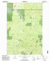
 1957 Emida1959 Print · USGSIn the late 1950s, the St Maries River valley was a corridor of timber and rail operations near the Latah and Benewah county line. Genealogists and historians can trace the Milwaukee Road through Emida, Lotus, and the Hollywood townsite.3 unique versions available
 - 1958 Map of Spokane
 1958 Spokane1958 Print · USGSThe Inland Empire is shown at a mid-century peak of industrial and military activity, from the rail hubs of Spokane to the deep silver mines of northern Idaho. Researchers can trace the sprawling rail lines of the Union Pacific RR or locate landmarks like Fairchild Air Force Base and the Bunker Hill Smelter & Mine.
 - 1981 Map of St Maries
 1981 St Maries1981 Print · USGSThe timber and rail hub of St. Maries is captured here in the early 1980s as the river-and-rail economy defined the Panhandle. Researchers can trace historic transport corridors including the Union Pacific tracks and remote landings along the St Joe River and Chatcolet Lake.2 unique versions available
 - 1985 Map of Emida
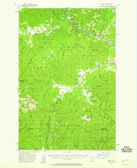
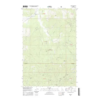
 1985 Emida1985 Print · USGSThe mountain settlement of Emida is shown here in the mid-1980s, positioned where the St Joe National Forest meets the Hoodoo Mountains. Researchers can trace old timber and mining routes through California Gulch or locate high-altitude landmarks like Bald Mountain and the Lookout Tower.
 - 1994 Map of Emida, 1997 Print
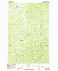
 1994 Emida1997 Print · USGSEmida and the surrounding Idaho timberlands are documented here in the mid-1990s, where the St. Joe National Forest meets the northern Palouse drainages. Genealogists and local historians can trace the townsite of Emida, the local Cem, and the high ridges of Bald Mountain.
 - 2011 Map of Emida, 2011 Print
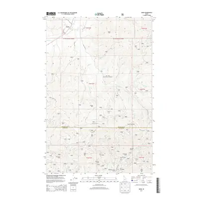
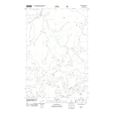 2011 Emida2011 Print · USGSCovers Emida, including Latah County, Benewah County, and other nearby areas
 - 2014 Map of Emida, 2014 Print
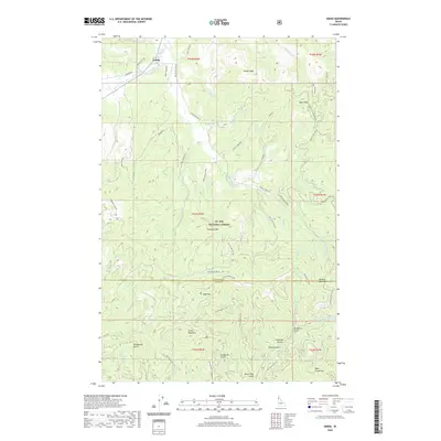
 2014 Emida2014 Print · USGSCovers Emida, including Latah County, Benewah County, and other nearby areas
 - 2017 Map of Emida, 2017 Print
 2017 Emida2017 Print · USGSCovers Emida, including Latah County, Benewah County, and other nearby areas
 - 2020 Map of Emida, 2020 Print
 2020 Emida2020 Print · USGSCovers Emida, including Latah County, Benewah County, and other nearby areas
 - 2024 Map of Emida, 2024 Print
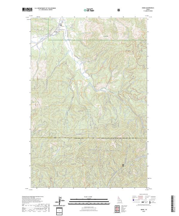 2024 Emida2024 Print · USGSThe northern Idaho timberlands around Emida are captured here in recent detail, showing the deep drainages of Santa Creek and the Hoodoo Mountains. Genealogists and historians can locate the Emida Cem and trace old logging routes like Charlie Creek Rd.
End of results
Showing maps 1-11 of 11
Top cities near Emida
Frequently asked questions
- What are the different types of historical maps available for Emida?
- What is the oldest map of Emida?
- Where can I purchase historical maps of Emida for my home or office?
- Where can I download high-res historical maps of Emida?
- Are there historical topographic maps available for Emida?
- Is there historical aerial imagery available for Emida?
- Where are historical maps of Emida sourced from?