Old Maps of Rocky Point, Idaho for Academic Research
Study the evolution of Rocky Point with 10 high-resolution historic maps. Whether you're teaching, researching, or modeling changes in land use, these maps provide essential visual documentation of urban, environmental, and geographic change.
- Analyze long-term change: Track patterns in development, transportation, and natural features.
- Ideal for environmental or urban studies: Support academic projects with primary historical map data.
- Use in the classroom or lab: Educators and researchers rely on these maps to bring historical context to life.
These maps are a powerful tool for teaching, research, and visualizing how Rocky Point has changed over the decades.
Rocky Point, ID maps
(10)- 1955 Map of Spokane, 1965 Print
 1955 Spokane1965 Print · USGSInland Empire life in the fifties and sixties centers on the growth of Spokane and the heavy mining industry of northern Idaho. Trace mid-century landmarks like Fairchild Air Force Base, the Bunker Hill Mine, and early campuses such as Gonzaga University.2 unique versions available
 - 1957 Map of St. Maries, 1958 Print
 1957 St. Maries1958 Print · USGSThe St. Joe and Coeur d'Alene river valleys come alive in the late fifties, showing a landscape defined by timber, rail, and water. Genealogists can locate St Maries, Harrison, and rural landmarks like the Ramy Hill Guard Sta.3 unique versions available
 - 1958 Map of Spokane
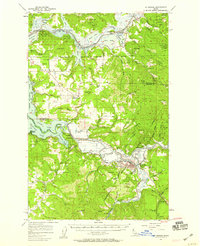
 1958 Spokane1958 Print · USGSThe Inland Empire is shown at a mid-century peak of industrial and military activity, from the rail hubs of Spokane to the deep silver mines of northern Idaho. Researchers can trace the sprawling rail lines of the Union Pacific RR or locate landmarks like Fairchild Air Force Base and the Bunker Hill Smelter & Mine.
 - 1981 Map of St Maries
 1981 St Maries1981 Print · USGSThe timber and rail hub of St. Maries is captured here in the early 1980s as the river-and-rail economy defined the Panhandle. Researchers can trace historic transport corridors including the Union Pacific tracks and remote landings along the St Joe River and Chatcolet Lake.2 unique versions available
 - 1981 Map of Benewah Lake, 1982 Print
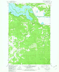 1981 Benewah Lake1982 Print · USGSThe interconnected waters of the St Joe River and Benewah Lake are captured here in the early eighties. Researchers can trace the layout of Heyburn State Park, historical shoreline landings like Silvertip Landing, and the border of the Coeur d'Alene Indian Reservation.
 - 2010 Map of Benewah Lake, 2010 Print
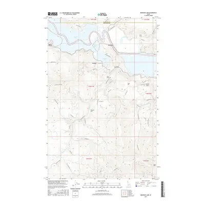
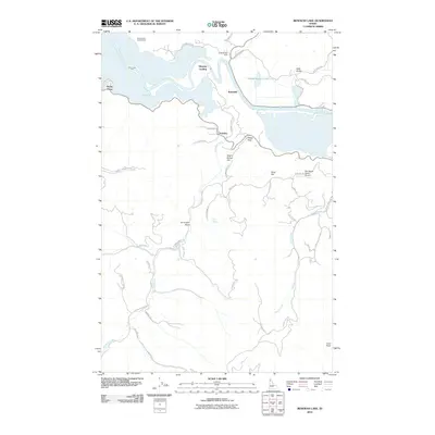 2010 Benewah Lake2010 Print · USGSCovers Rocky Point, including Parkline, Kootenai County, and other nearby areas
 - 2013 Map of Benewah Lake, 2013 Print
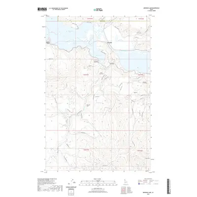
 2013 Benewah Lake2013 Print · USGSCovers Rocky Point, including Parkline, Kootenai County, and other nearby areas
 - 2017 Map of Benewah Lake, 2017 Print
 2017 Benewah Lake2017 Print · USGSCovers Rocky Point, including Parkline, Kootenai County, and other nearby areas
 - 2020 Map of Benewah Lake, 2020 Print
 2020 Benewah Lake2020 Print · USGSCovers Rocky Point, including Parkline, Kootenai County, and other nearby areas
 - 2024 Map of Benewah Lake, 2024 Print
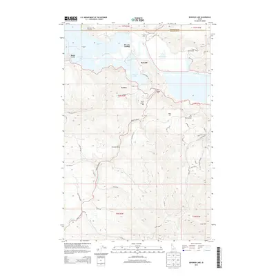
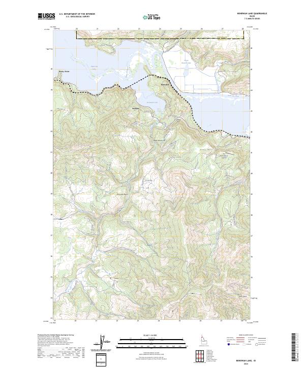 2024 Benewah Lake2024 Print · USGSThe interconnected waters of the Saint Joe River and Benewah Lake area are captured here in the contemporary era. Researchers can trace rural property access along Benewah Creek Rd and locate landmarks like the Sky Island Ranch Airport and Echo Springs.
End of results
Showing maps 1-10 of 10
Top cities near Rocky Point
- Saint Maries historical maps
- Plummer historical maps
- Harrison historical maps
- Worley historical maps
- De Smet historical maps
- Tensed historical maps
Frequently asked questions
- What are the different types of historical maps available for Rocky Point?
- What is the oldest map of Rocky Point?
- Where can I purchase historical maps of Rocky Point for my home or office?
- Where can I download high-res historical maps of Rocky Point?
- Are there historical topographic maps available for Rocky Point?
- Is there historical aerial imagery available for Rocky Point?
- Where are historical maps of Rocky Point sourced from?