Old Maps of Sanders, Idaho for Hiking & Exploration
Hike through history with 11 historic maps of Sanders. Explore old trails, ghost towns, and forgotten backroads — perfect for outdoor adventurers and local explorers.
- Rediscover forgotten places: Map out old mining camps, roads, and footpaths that no longer exist on modern maps.
- Layer with modern tools: Combine with LiDAR or satellite views to plan hikes through historical terrain.
- Made for exploration: Popular among hikers, overlanders, and local history lovers.
Use these maps to find adventure and explore the hidden past of Sanders.
Sanders, ID maps
(11)- 1955 Map of Spokane, 1965 Print
 1955 Spokane1965 Print · USGSInland Empire life in the fifties and sixties centers on the growth of Spokane and the heavy mining industry of northern Idaho. Trace mid-century landmarks like Fairchild Air Force Base, the Bunker Hill Mine, and early campuses such as Gonzaga University.2 unique versions available
 - 1957 Map of Tensed, 1959 Print
 1957 Tensed1959 Print · USGSNorthern Idaho's timber and reservation lands come alive in this mid-century survey of the Benewah and Latah county line. Researchers can trace rural landmarks like the De Smet Mission (Indian School), Mtn Home School, and the settlement of Sanders.2 unique versions available
 - 1958 Map of Spokane
 1958 Spokane1958 Print · USGSThe Inland Empire is shown at a mid-century peak of industrial and military activity, from the rail hubs of Spokane to the deep silver mines of northern Idaho. Researchers can trace the sprawling rail lines of the Union Pacific RR or locate landmarks like Fairchild Air Force Base and the Bunker Hill Smelter & Mine.
 - 1981 Map of St Maries
 1981 St Maries1981 Print · USGSThe timber and rail hub of St. Maries is captured here in the early 1980s as the river-and-rail economy defined the Panhandle. Researchers can trace historic transport corridors including the Union Pacific tracks and remote landings along the St Joe River and Chatcolet Lake.2 unique versions available
 - 1985 Map of Sanders
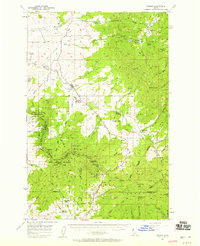
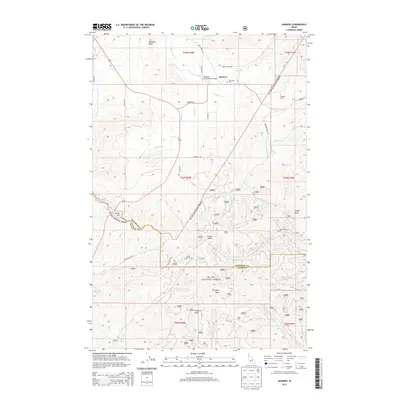
 1985 Sanders1985 Print · USGSNorthern Idaho in the mid-eighties shows a landscape of timber and tribal lands where the reservation and national forest meet. Researchers can find the small settlement of Sanders, the local Cem, and landmarks like Prospect Peak and Marsh Hill.
 - 1994 Map of Sanders, 1997 Print
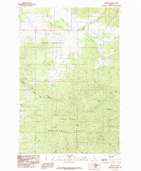
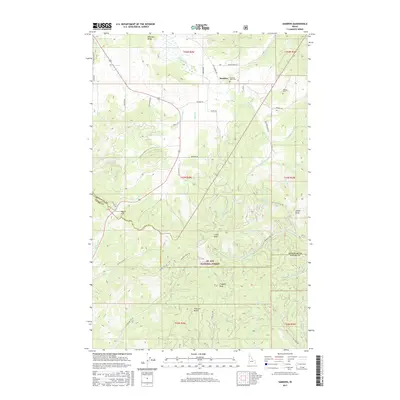
 1994 Sanders1997 Print · USGSThe northern Idaho Panhandle comes into focus during the mid-1990s, where reservation lands and national forests converge near the Benewah County line. Researchers can locate the Sanders settlement, the local cemetery, and high points like Prospect Peak and Holaki Knob.2 unique versions available
 - 2011 Map of Sanders, 2011 Print
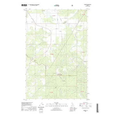
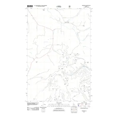 2011 Sanders2011 Print · USGSCovers Sanders, including Latah County, Benewah County, and other nearby areas
 - 2013 Map of Sanders, 2013 Print
 2013 Sanders2013 Print · USGSCovers Sanders, including Latah County, Benewah County, and other nearby areas
 - 2017 Map of Sanders, 2017 Print
 2017 Sanders2017 Print · USGSCovers Sanders, including Latah County, Benewah County, and other nearby areas
 - 2020 Map of Sanders, 2020 Print
 2020 Sanders2020 Print · USGSCovers Sanders, including Latah County, Benewah County, and other nearby areas
 - 2024 Map of Sanders, 2024 Print
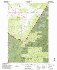
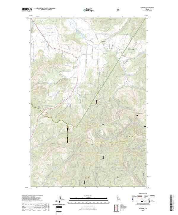 2024 Sanders2024 Print · USGSThe community of Sanders and the borderlands of Benewah and Latah counties are shown here as they appear in the twenty-first century. Genealogists and local historians can locate Mountain View Cem and Sanders Cem or trace the drainages of Hangman Creek through the St Joe National Forest.
End of results
Showing maps 1-11 of 11
Top cities near Sanders
- Saint Maries historical maps
- Plummer historical maps
- Potlatch historical maps
- Onaway historical maps
- De Smet historical maps
- Tensed historical maps
Frequently asked questions
- What are the different types of historical maps available for Sanders?
- What is the oldest map of Sanders?
- Where can I purchase historical maps of Sanders for my home or office?
- Where can I download high-res historical maps of Sanders?
- Are there historical topographic maps available for Sanders?
- Is there historical aerial imagery available for Sanders?
- Where are historical maps of Sanders sourced from?