Old Maps of Carey, Idaho for Genealogy
Trace your family roots with 9 historic maps of Carey. These high-res maps reveal old neighborhoods, homesites, landmarks, and streets — helping you uncover where your ancestors lived and how the area evolved over time.
- Explore historic neighborhoods: Identify where your relatives may have lived in the 1800s or 1900s.
- Compare maps over time: Trace the changes in streets, buildings, and landmarks for multi-generational research.
- Perfect for genealogy & ancestry research: Used by family historians and researchers to map out lineage and migration.
These maps are an incredible resource for exploring your personal connection to Carey's past.
Carey, ID maps
(9)- 1955 Map of Idaho Falls, 1963 Print
 1955 Idaho Falls1963 Print · USGSThe Snake River Plain and its surrounding volcanic peaks are captured in the late fifties, showing the region's unique mix of nuclear research and high-desert ranching. Trace the industrial footprint of the National Reactor Testing Station or find old mining sites like Empire Mine.5 unique versions available
 - 1958 Map of Idaho Falls
 1958 Idaho Falls1958 Print · USGSEastern Idaho in the late fifties showcases the rapid expansion of agricultural and scientific outposts across its volcanic plains. Researchers can locate remote sites like Atomic City, mineral interests at White Knob Mine, and the cultural grounds of St Marys Mission.2 unique versions available
 - 1978 Map of Craters Of The Moon
 1978 Craters Of The Moon1978 Print · USGSSouthern Idaho in the late seventies revealed a landscape of volcanic fields and pioneer trails where the High Desert meets the mountains. Researchers can trace the path of Goodale's Cutoff past Big Southern Butte or locate remote landmarks like Laidlaw Corrals.
 - 1979 Map of Carey, 1980 Print
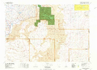
 1979 Carey1980 Print · USGSCarey sat at the intersection of irrigation and volcanic desert in the late 1970s. Local researchers can trace family landmarks like Hot Springs Ranch, locate the Carey Cemetery, or study the early layout of the County Fairgrounds and High Sch.
 - 2010 Map of Carey, 2010 Print
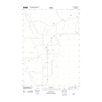 2010 Carey2010 Print · USGSCovers Carey, including Blaine County, United States, and other nearby areas
 - 2013 Map of Carey, 2013 Print
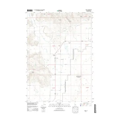 2013 Carey2013 Print · USGSCovers Carey, including Blaine County, United States, and other nearby areas
 - 2017 Map of Carey, 2017 Print
 2017 Carey2017 Print · USGSCovers Carey, including Blaine County, United States, and other nearby areas
 - 2020 Map of Carey, 2020 Print
 2020 Carey2020 Print · USGSCovers Carey, including Blaine County, United States, and other nearby areas
 - 2023 Map of Carey, 2023 Print
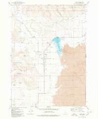
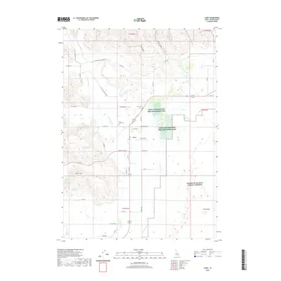
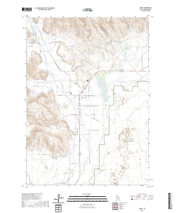 2023 Carey2023 Print · USGSIdaho’s high-desert irrigation and mountain foothills are on full display in this survey of the Carey area. Genealogists and researchers can locate the Carey Pioneer Cem or trace the water systems of the High Line Canal and Little Wood River.
End of results
Showing maps 1-9 of 9
Frequently asked questions
- What are the different types of historical maps available for Carey?
- What is the oldest map of Carey?
- Where can I purchase historical maps of Carey for my home or office?
- Where can I download high-res historical maps of Carey?
- Are there historical topographic maps available for Carey?
- Is there historical aerial imagery available for Carey?
- Where are historical maps of Carey sourced from?