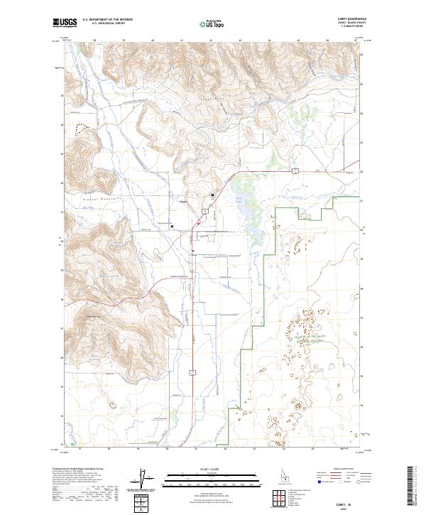
2023 Map of Carey
USGS Topo · Published 2023About this map
Carey sits at the nexus of high-desert plains and the foothills of the Pioneer Mountains in this modern survey. The landscape is defined by an intricate network of irrigation, including the West Canal, East Canal, and High Line Canal, which divert the Little Wood River to support local agriculture. For those interested in regional heritage, the presence of both the Carey Cem and the Carey Pioneer Cem offers specific sites for genealogical research. To the east, the map reveals the transition into the volcanic landscape of the Craters of the Moon National Preserve, while the Carey Lake Migratory Bird Management Area surrounding Carey Lake highlights the importance of the local wetlands. Prominent terrain features like the Queens Crown and Lake Hills overlook a settlement pattern tied closely to the Carey Airport and a grid of rural roads.
Find a feature on this map
59 named features on this map. Tap any name to fly to it.
Don’t see what you’re looking for? This feature index may not catch every label — zoom into the map to look around manually.
Map Details
Editions of this 2023 Carey Map
This is the sole edition of this map. No revisions or reprints were ever made.
Other maps of this area

1955 · Idaho Falls
USGS Topo · 1:250,000

1955 · Hailey
USGS Topo · 1:250,000

1958 · Idaho Falls
USGS Topo · 1:250,000

1959 · Hailey
USGS Topo · 1:250,000

1962 · Hailey
USGS Topo · 1:250,000

1978 · Craters Of The Moon
USGS Topo · 1:100,000
1979 · Paddelford Flat
USGS Topo · 1:24,000
1979 · Pagari Well
USGS Topo · 1:24,000
1979 · Wagon Butte
USGS Topo · 1:24,000
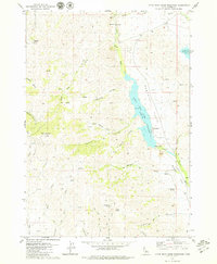
1979 · Little Wood River Reservoir
USGS Topo · 1:24,000