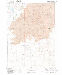
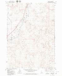
1979 Map of Pagari Well
USGS Topo · Published 1979About this map
The Little Wood River and Silver Creek converge in the northwestern corner of this 1970s survey, marking a distinct transition between riparian hydrology and the stark volcanic geology of southern Idaho. The central landscape is dominated by extensive fields of Lava, which cross the boundary between Blaine County and Lincoln County. This topography is largely uninhabited, defined by its geological character rather than urban development.
Find a feature on this map
9 named features on this map. Tap any name to fly to it.
Don’t see what you’re looking for? This feature index may not catch every label — zoom into the map to look around manually.
Map Details
Editions of this 1979 Pagari Well Map
This is the sole edition of this map. No revisions or reprints were ever made.
Other maps of this area

1955 · Idaho Falls
USGS Topo · 1:250,000

1955 · Hailey
USGS Topo · 1:250,000

1958 · Idaho Falls
USGS Topo · 1:250,000

1959 · Hailey
USGS Topo · 1:250,000

1962 · Hailey
USGS Topo · 1:250,000

1978 · Craters Of The Moon
USGS Topo · 1:100,000
1979 · Black Ridge Crater
USGS Topo · 1:24,000
1979 · Paddelford Flat
USGS Topo · 1:24,000
1979 · Wagon Butte
USGS Topo · 1:24,000
1979 · Pagari
USGS Topo · 1:24,000