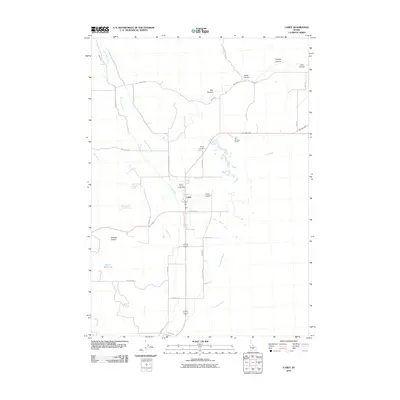
2010 Map of Carey
USGS Topo · Published 2010About this map
Carey sits at the nexus of several vital water sources and irrigation channels in southern Idaho, serving as a hub for the surrounding ranching and agricultural lands. The landscape is defined by the Little Wood River and several artificial waterways including the West Canal and East Canal, which support the local economy. To the north, the terrain transitions into a series of canyons, including Box Canyon and Road Canyon, while the town itself is anchored by central landmarks like the Blaine County Fairgrounds and Carey Cemetery. The presence of Hot Springs Ranch and various springs, such as Strode Spring, indicates the geothermal and hydrological character of this region. Researching this area reveals a community tightly integrated with its water management systems, from the Harris Reservoir in the west to the winding course of Fish Creek to the east.
Find a feature on this map
35 named features on this map. Tap any name to fly to it.
Don’t see what you’re looking for? This feature index may not catch every label — zoom into the map to look around manually.
Map Details
Editions of this 2010 Carey Map
This is the sole edition of this map. No revisions or reprints were ever made.
Other maps of this area

1955 · Idaho Falls
USGS Topo · 1:250,000

1955 · Hailey
USGS Topo · 1:250,000

1958 · Idaho Falls
USGS Topo · 1:250,000

1959 · Hailey
USGS Topo · 1:250,000

1962 · Hailey
USGS Topo · 1:250,000

1978 · Craters Of The Moon
USGS Topo · 1:100,000
1979 · Paddelford Flat
USGS Topo · 1:24,000
1979 · Pagari Well
USGS Topo · 1:24,000
1979 · Wagon Butte
USGS Topo · 1:24,000
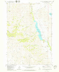
1979 · Little Wood River Reservoir
USGS Topo · 1:24,000