Old Maps of Lowman, Idaho for Hiking & Exploration
Hike through history with 12 historic maps of Lowman. Explore old trails, ghost towns, and forgotten backroads — perfect for outdoor adventurers and local explorers.
- Rediscover forgotten places: Map out old mining camps, roads, and footpaths that no longer exist on modern maps.
- Layer with modern tools: Combine with LiDAR or satellite views to plan hikes through historical terrain.
- Made for exploration: Popular among hikers, overlanders, and local history lovers.
Use these maps to find adventure and explore the hidden past of Lowman.
Lowman, ID maps
(12)- 1909 Map of Garden Valley
 1909 Garden Valley1909 Print · USGSThe Idaho backcountry in the late nineteenth century was a frontier of river canyons and high timber. Researchers can trace the early footprints of Lowman and Banner or follow the primitive drainages of the Deadwood River and Grimes Creek.2 unique versions available
 - 1957 Map of Challis, 1964 Print
 1957 Challis1964 Print · USGSCentral Idaho in the late fifties and early sixties remains a territory of remote mining camps and high-mountain ranger stations. Trace historic mining operations like the Lucky Boy Mine or locate isolated homesteads including Robinson Bar Ranch and Allison Ranch.3 unique versions available
 - 1960 Map of Challis
 1960 Challis1960 Print · USGSCentral Idaho’s high backcountry is detailed here in the early sixties, showing the remote ranching and mining life across five national forests. Genealogists and researchers can trace family holdings at the Silva Ranch or Jones Ranch and find historic sites like Redfish Lake Lodge and Clayton.
 - 1963 Map of Challis
 1963 Challis1963 Print · USGSCentral Idaho's mountain corridors and mining districts appear in detail during the early sixties, highlighting the remote settlements of Challis and Stanley. Researchers can trace the legacy of the gold and silver rushes through labels for Bonanza, the Bayhorse Mine, and the Falconberry ranch.
 - 1972 Map of Lowman, 1977 Print
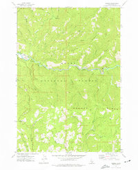 1972 Lowman1977 Print · USGSLowman and the Boise National Forest are shown in the early seventies as a hub of mountain industry and riverside recreation. Discover historical resource sites like the Banner Mine and Sawmill or trace early access routes to Kirkham Hot Springs.
 - 1982 Map of Deadwood River
 1982 Deadwood River1982 Print · USGSCentral Idaho in the early eighties was a vast expanse of protected wilderness and remote river canyons. Local historians and hunters can locate early landmarks like the Mary Jane Mine, the settlement of Lowman, and isolated facilities such as the Bruce Meadows Landing Strip.
 - 1989 Map of Challis
 1989 Challis1989 Print · USGSCentral Idaho in the late eighties remains a vast expanse of protected wilderness and high-mountain drainages. Researchers can trace remote settlements and backcountry outposts like Custer, Stibnite, and Sunbeam along the Salmon River and its many forks.2 unique versions available
 - 2011 Map of Lowman, 2011 Print
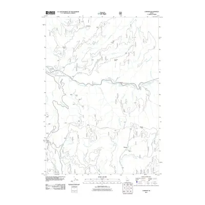 2011 Lowman2011 Print · USGSNear the confluence of mountain creeks in the early 2010s, this Idaho landscape reveals a history of resource extraction and thermal springs. Researchers can locate remote sites like Specimen Mine or Banner Mine and trace access along the South Fork Payette River.
 - 2013 Map of Lowman, 2013 Print
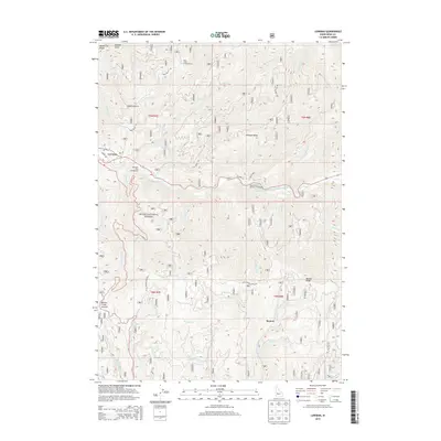 2013 Lowman2013 Print · USGSThe Boise National Forest high country comes to life in the early 2010s, centered on the Payette River corridor and its natural thermal features. Researchers can trace the footprints of forest recreation and settlement at Lowman, Banner, and the well-known Kirkham Hot Springs.
 - 2017 Map of Lowman, 2017 Print
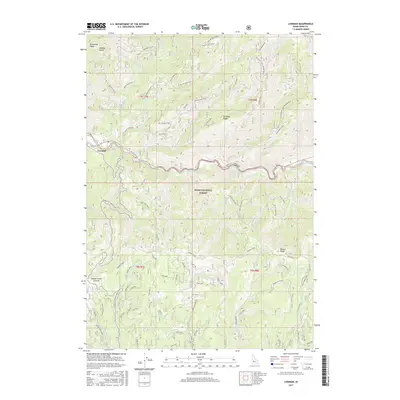 2017 Lowman2017 Print · USGSIn the Idaho mountains during the late 2010s, the river settlement of Lowman provides access to the surrounding wilderness and mineral history. Trace the routes to high-altitude sites like Beaver Creek Summit, Kirkham Hot Springs, and the Banner Mine Road.
 - 2020 Map of Lowman, 2020 Print
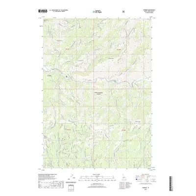 2020 Lowman2020 Print · USGSThe rugged mountains of Boise County are captured here in the contemporary era, centered on the settlement of Lowman. Traces of the region's mining and recreation history are visible in labels like Magnolia Mine Spur 2, Kirkham Hot Springs, and Aspen Grove.
 - 2024 Map of Lowman, 2024 Print
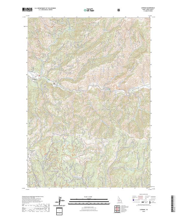 2024 Lowman2024 Print · USGSThe mountain settlement of Lowman stands at the heart of this Idaho forest landscape, where the South Fork Payette River meets the local highway system. Trace the legacy of regional mining and early travel along the Lowman Wagon Road, Magnolia Mine Spur 1, and the geothermal waters at Kirkham Hot Springs.
End of results
Showing maps 1-12 of 12
Frequently asked questions
- What are the different types of historical maps available for Lowman?
- What is the oldest map of Lowman?
- Where can I purchase historical maps of Lowman for my home or office?
- Where can I download high-res historical maps of Lowman?
- Are there historical topographic maps available for Lowman?
- Is there historical aerial imagery available for Lowman?
- Where are historical maps of Lowman sourced from?