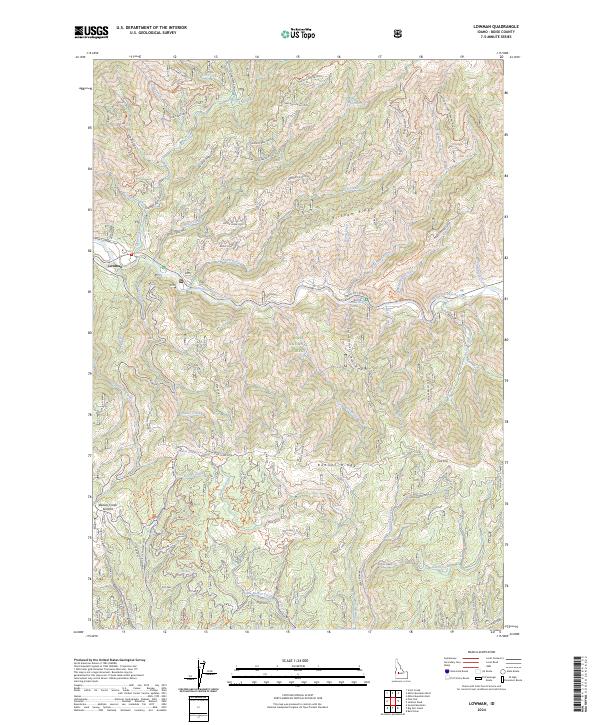
2024 Map of Lowman
USGS Topo · Published 2024About this map
The South Fork Payette River carves through the center of this terrain, anchoring the settlement of Lowman at the junction of the Banks-Lowman Hwy. This 2024 survey captures a landscape defined by its mining and forestry infrastructure within the Boise National Forest. Traces of the region's extraction history are visible through numerous named forest tracks, such as Magnolia Mine Spur 1 and Specimen Mine Spur 1, which climb the steep slopes of Miller Mountain. Along the riverbanks, the presence of Kirkham Hot Springs serves as a prominent natural landmark. The map also documents historical transit routes including the Lowman Wagon Road, illustrating how early travel corridors followed the high ridges like Banner Ridge and Kirkham Ridge to avoid the complex drainage networks of Beaver Creek and Clear Creek.
Find a feature on this map
50 named features on this map. Tap any name to fly to it.
Don’t see what you’re looking for? This feature index may not catch every label — zoom into the map to look around manually.
Map Details
Editions of this 2024 Lowman Map
This is the sole edition of this map. No revisions or reprints were ever made.
Other maps of this area

1891 · Bear Valley
USGS Topo · 1:125,000

1893 · Bear Valley
USGS Topo · 1:125,000

1894 · Idaho Basin
USGS Topo · 1:125,000

1894 · Rocky Bar
USGS Topo · 1:125,000

1909 · Garden Valley
USGS Topo · 1:125,000

1955 · Hailey
USGS Topo · 1:250,000

1957 · Challis
USGS Topo · 1:250,000

1959 · Hailey
USGS Topo · 1:250,000

1960 · Challis
USGS Topo · 1:250,000

1962 · Hailey
USGS Topo · 1:250,000