Old Maps of Dover, Idaho for Metal Detecting
Plan your next treasure hunt with 34 historic maps of Dover. Find old homesites, ghost towns, trails, and gathering spots that may be lost to time — perfect for identifying promising metal detecting locations.
- Locate forgotten sites: Uncover places like long-lost settlements, abandoned rail lines, or gathering spots.
- Plan better hunts: Use map overlays combined with LiDAR or satellite views to narrow in on historically rich areas.
- Made for detectorists: Thousands of hobbyists use these maps to discover relics, coins, and hidden history.
Use these historic maps to boost your research and find new opportunities beneath the surface of Dover.
Dover, ID maps
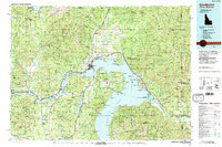
(34)- 1901 Map of Sandpoint
 1901 Sandpoint1901 Print · USGSNorthern Idaho in the late nineteenth century was a frontier of timber and rail defined by the massive waters of Pend Oreille Lake. Genealogists and historians can trace early settlements and river crossings like Seneaquoteen, Cocolalla, and the Hamill Ferry.3 unique versions available
 - 1911 Map of Priest Lake, 1954 Print
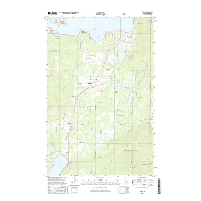
 1911 Priest Lake1954 Print · USGSThe Idaho Panhandle during the early 1900s was a landscape of deep lakes and high-altitude mining operations connected by new rail lines. Genealogists and historians can trace pioneer settlements like Port Hill and Coolin, or locate remote industrial sites such as the Queen Mine and Mountain Chief Mine.
 - 1911 Map of Sandpoint, 1959 Print
 1911 Sandpoint1959 Print · USGSThe Idaho panhandle at the turn of the century shows a landscape of timber and transit centered on Sandpoint. You can trace early river crossings like Markham Ferry and the original rail routes of the Great Northern and Spokane International.2 unique versions available
 - 1913 Map of Priest Lake
 1913 Priest Lake1913 Print · USGSThe Idaho Panhandle was a rugged network of rail sidings and mining camps in the years before the Great War. Genealogists and historians can trace old homesteads and depots from Sandpoint up to the Continental Mine and the remote border crossing at Addie.3 unique versions available
 - 1958 Map of Sandpoint, 1966 Print
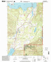
 1958 Sandpoint1966 Print · USGSThe Idaho Panhandle and Northeast Washington are shown here in the late fifties, when timber and hydroelectric power drove the local economy. Trace family roots in rail-side towns like Cusick or Metaline Falls, and locate landmarks like the Albeni Falls Dam or Falls Ranger Station.2 unique versions available
 - 1963 Map of Sandpoint
 1963 Sandpoint1963 Print · USGSNorthern Idaho and eastern Washington are shown in the early sixties as a high-country network of timber, mining, and rail. Genealogists and historians can trace the Great Northern line through Metaline Falls, Bonners Ferry, and past the Finch Mine.
 - 1968 Map of Happy Fork Gap, 1971 Print
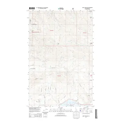
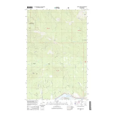
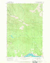 1968 Happy Fork Gap1971 Print · USGSNorth of the Pend Oreille River in the late 1960s, this Idaho mountain landscape was a hub for timber research and rail transport. Genealogists and historians can trace the twin rail lines through Wrencoe or locate high-country landmarks like Happy Fork Gap and McCormack Meadows.2 unique versions available
 - 1968 Map of Morton, 1971 Print
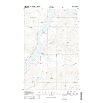
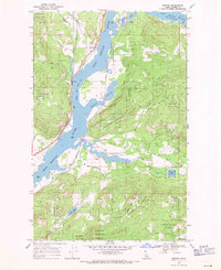 1968 Morton1971 Print · USGSThe Pend Oreille River valley in Bonner County was a bustling rail corridor in the late sixties, where the timber-rich Kaniksu National Forest met the water. Researchers can trace the paths of the Great Northern and Spokane International railroads past Wrencoe and Round Lake State Park.2 unique versions available
 - 1968 Map of Sagle, 1971 Print
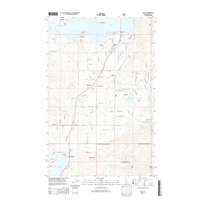
 1968 Sagle1971 Print · USGSBonner County settlements and timberlands are captured here in the late sixties, as the Northern Pacific railroad linked lakeside communities. Trace family roots and local industry through the Westmond Cem and the Hope and Faith Shaft or Bimetallic Prospect mines.3 unique versions available
 - 1968 Map of Sandpoint, 1971 Print
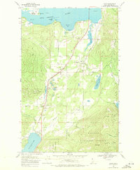
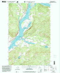
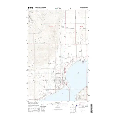
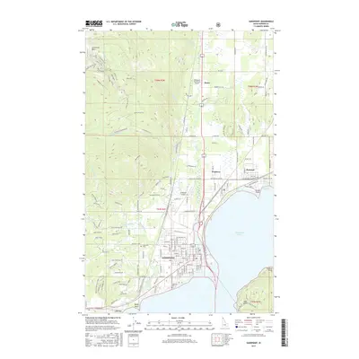
 1968 Sandpoint1971 Print · USGSNear the northern shores of Lake Pend Oreille in the late sixties, the rail and river economy of this Idaho region is captured in high detail. Genealogists and local historians can trace the town layouts of Sandpoint, Kootenai, and Dover, or locate landmarks like Pinecrest Cem and Lincoln Sch.2 unique versions available
 - 1984 Map of Sandpoint
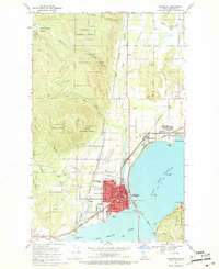
 1984 Sandpoint1984 Print · USGSThe Idaho Panhandle in the early 1980s shows a landscape of deep lakes and working forests centered on the rail hub of Sandpoint. Researchers can trace the legacy of regional industry through the Spokane International rail lines and mining sites like the Gold Coin Mine and Sulphide Mine.2 unique versions available
 - 1996 Map of Sagle, 1999 Print
 1996 Sagle1999 Print · USGSBonner County in the late nineties is captured here as the timber and rail economy shaped the landscape south of Sandpoint. Genealogists and local historians can locate early settlements like Dufort, trace the Union Pacific line, and find the Westmond Cemetery.
 - 1996 Map of Sandpoint, 1999 Print
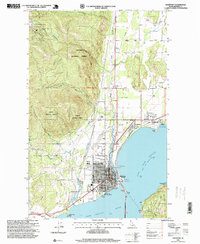 1996 Sandpoint1999 Print · USGSSandpoint and the shores of Lake Pend Oreille are captured in the mid-nineties as the region expanded. Genealogists and local historians can trace the town's growth through its grid of schools, churches, and civic sites like Lakeview Cemetery and the Memorial Park Historical Museum.
 - 1996 Map of Morton, 1999 Print
 1996 Morton1999 Print · USGSIn the Idaho panhandle during the 1990s, the river and forest defined the pace of life near the Bonner and Kootenai border. Researchers can trace the quiet settlements of Morton and Wrencoe or locate the Historical Site and Round Lake State Park.
 - 2011 Map of Morton, 2011 Print
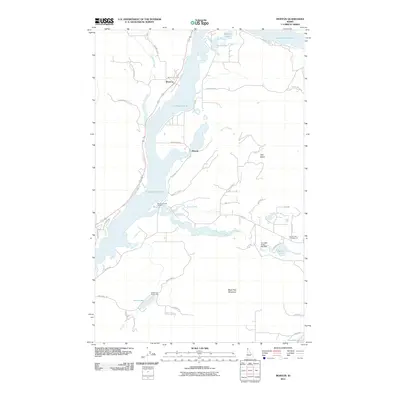 2011 Morton2011 Print · USGSCovers Dover, including Morton, Wrencoe, and other nearby areas
 - 2011 Map of Sandpoint, 2011 Print
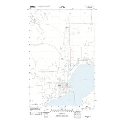 2011 Sandpoint2011 Print · USGSCovers Dover, including Sandpoint, Ponderay, and other nearby areas
 - 2011 Map of Happy Fork Gap, 2011 Print
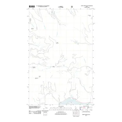 2011 Happy Fork Gap2011 Print · USGSCovers Dover, including Bonner County, United States, and other nearby areas
 - 2011 Map of Sagle, 2011 Print
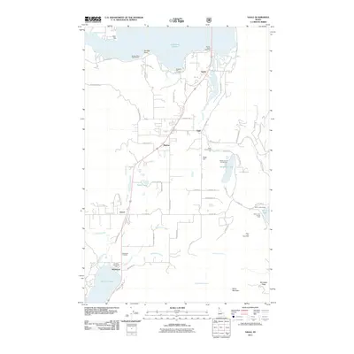 2011 Sagle2011 Print · USGSCovers Dover, including Lignite, Westmond, and other nearby areas
 - 2013 Map of Happy Fork Gap, 2013 Print
 2013 Happy Fork Gap2013 Print · USGSCovers Dover, including Bonner County, United States, and other nearby areas
 - 2013 Map of Morton, 2013 Print
 2013 Morton2013 Print · USGSCovers Dover, including Morton, Wrencoe, and other nearby areas
 - 2013 Map of Sagle, 2013 Print
 2013 Sagle2013 Print · USGSCovers Dover, including Lignite, Westmond, and other nearby areas
 - 2013 Map of Sandpoint, 2013 Print
 2013 Sandpoint2013 Print · USGSCovers Dover, including Sandpoint, Ponderay, and other nearby areas
 - 2017 Map of Happy Fork Gap, 2017 Print
 2017 Happy Fork Gap2017 Print · USGSCovers Dover, including Bonner County, United States, and other nearby areas
 - 2017 Map of Sandpoint, 2017 Print
 2017 Sandpoint2017 Print · USGSCovers Dover, including Sandpoint, Ponderay, and other nearby areas
 - 2017 Map of Sagle, 2017 Print
 2017 Sagle2017 Print · USGSCovers Dover, including Lignite, Westmond, and other nearby areas
Showing maps 1-25 of 34
Top cities near Dover
- Sandpoint historical maps
- Priest River historical maps
- Ponderay historical maps
- Kootenai historical maps
Frequently asked questions
- What are the different types of historical maps available for Dover?
- What is the oldest map of Dover?
- Where can I purchase historical maps of Dover for my home or office?
- Where can I download high-res historical maps of Dover?
- Are there historical topographic maps available for Dover?
- Is there historical aerial imagery available for Dover?
- Where are historical maps of Dover sourced from?