2000s (21st Century) Maps of Swan Valley, Idaho
Explore 17 historic maps of Swan Valley from the 2000s (21st Century). These maps offer a rare glimpse into what life looked like during the 2000s — showing old roads, neighborhoods, homes, and landmarks that have changed or disappeared over time.
Whether you're researching your family's past, planning a metal detecting trip, or studying how Swan Valley's landscape evolved across the 2000s, these high-resolution maps are a powerful tool for exploring the history of this region.
- Focus on a specific era: All maps on this page are from the 2000s, giving you a focused view of this time period.
- See what’s changed: Compare century-old streets, trails, and buildings to today's modern landscape using overlays and satellite layers.
- Research with precision: Use these maps for genealogy, historical research, land use analysis, or educational projects.
- View, download, or print: Maps are fully viewable online in high resolution, and can be downloaded or printed for your own records.
Start exploring Swan Valley's history through authentic maps from the 2000s. This is your window into the past.
Swan Valley, ID maps
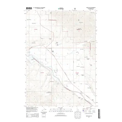
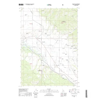
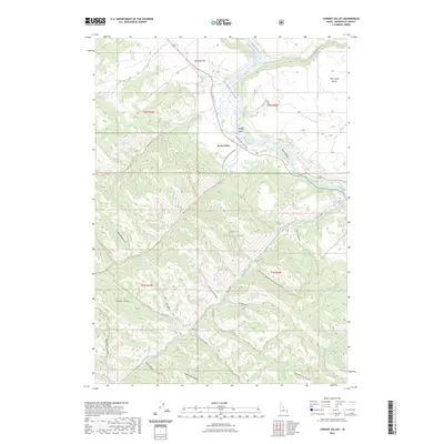
(17)- 2011 Map of Swan Valley, 2011 Print
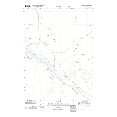 2011 Swan Valley2011 Print · USGSCovers Swan Valley, including Irwin, Bonneville County, and other nearby areas
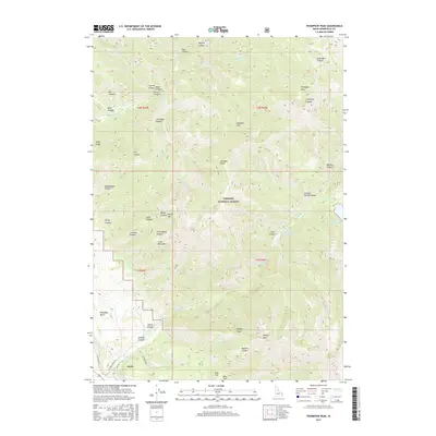
 - 2011 Map of Thompson Peak, 2011 Print
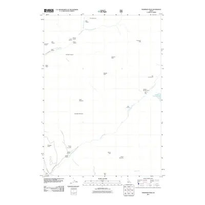 2011 Thompson Peak2011 Print · USGSCovers Swan Valley, including Irwin, Bonneville County, and other nearby areas
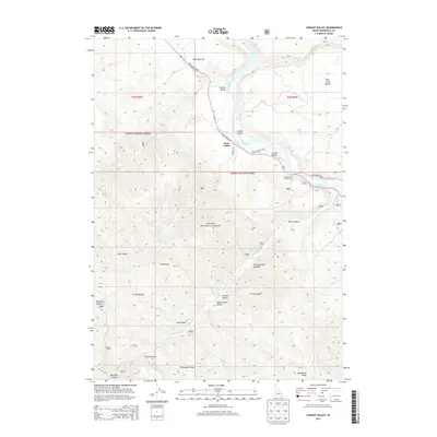
 - 2011 Map of Conant Valley, 2011 Print
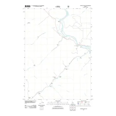 2011 Conant Valley2011 Print · USGSCovers Swan Valley, including Bonneville County, United States, and other nearby areas
 - 2013 Map of Thompson Peak, 2013 Print
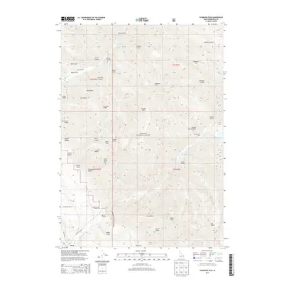 2013 Thompson Peak2013 Print · USGSCovers Swan Valley, including Irwin, Bonneville County, and other nearby areas
 - 2013 Map of Swan Valley, 2013 Print
 2013 Swan Valley2013 Print · USGSCovers Swan Valley, including Irwin, Bonneville County, and other nearby areas
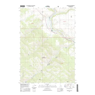
 - 2013 Map of Conant Valley, 2013 Print
 2013 Conant Valley2013 Print · USGSCovers Swan Valley, including Bonneville County, United States, and other nearby areas
 - 2017 Map of Thompson Peak, 2017 Print
 2017 Thompson Peak2017 Print · USGSCovers Swan Valley, including Irwin, Bonneville County, and other nearby areas
 - 2017 Map of Conant Valley, 2017 Print
 2017 Conant Valley2017 Print · USGSCovers Swan Valley, including Bonneville County, United States, and other nearby areas
 - 2017 Map of Swan Valley, 2017 Print
 2017 Swan Valley2017 Print · USGSCovers Swan Valley, including Irwin, Bonneville County, and other nearby areas
 - 2020 Map of Thompson Peak, 2020 Print
 2020 Thompson Peak2020 Print · USGSCovers Swan Valley, including Irwin, Bonneville County, and other nearby areas
 - 2020 Map of Conant Valley, 2020 Print
 2020 Conant Valley2020 Print · USGSCovers Swan Valley, including Bonneville County, United States, and other nearby areas
 - 2020 Map of Swan Valley, 2020 Print
 2020 Swan Valley2020 Print · USGSCovers Swan Valley, including Irwin, Bonneville County, and other nearby areas
 - 2023 Map of Conant Valley, 2023 Print
 2023 Conant Valley2023 Print · USGSCovers Swan Valley, including Bonneville County, United States, and other nearby areas
 - 2023 Map of Swan Valley, 2023 Print
 2023 Swan Valley2023 Print · USGSCovers Swan Valley, including Irwin, Bonneville County, and other nearby areas
 - 2024 Map of Thompson Peak, 2024 Print
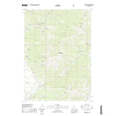
 2024 Thompson Peak2024 Print · USGSHigh in the Snake River Range during the early twenty-first century, this Idaho landscape reveals a rugged network of alpine lakes and mountain trails. You can trace the paths to Lower Palisades Lake, locate the peaks of Atkinson Peak, and explore the canyon floor near Irwin.
 - 2024 Map of Swan Valley, 2024 Print
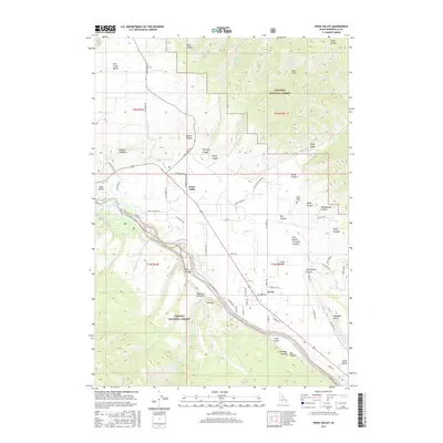
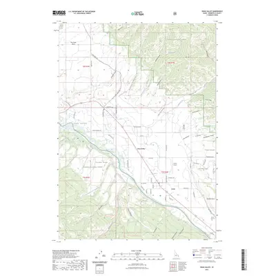
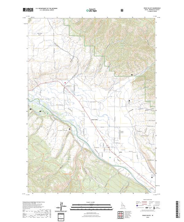 2024 Swan Valley2024 Print · USGSSwan Valley and Irwin sit along the Snake River in the mid-2020s, showing a landscape defined by mountain forests and riverfront settlements. Researchers can locate family sites at the Swan Valley Cem or Burton-Irwin Cem and trace old routes through Oakden Canyon.
 - 2024 Map of Conant Valley, 2024 Print
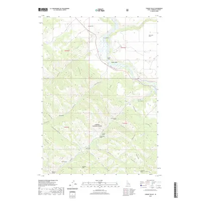
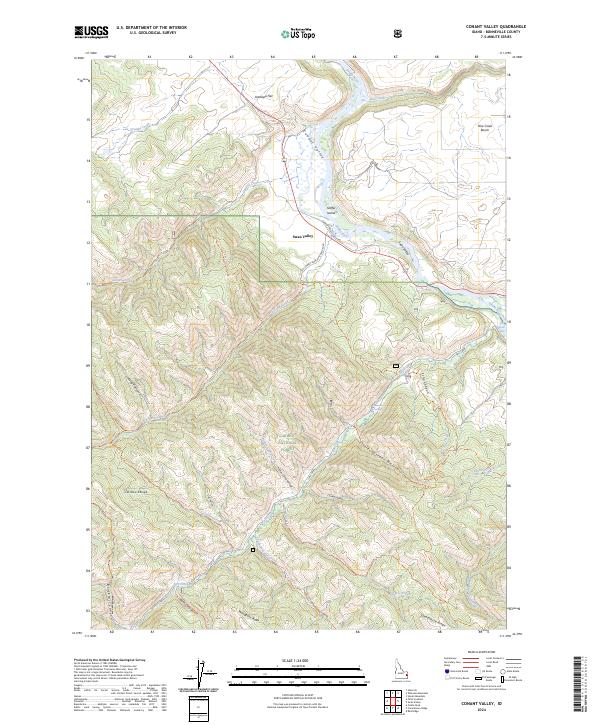 2024 Conant Valley2024 Print · USGSThe Snake River corridor in Bonneville County comes alive in this contemporary record of Idaho's high-country terrain. Researchers can trace the rugged network of the Caribou National Forest, locating landmarks like Fall Creek Falls, Staffel Island, and the settlement of Swan Valley.
End of results
Showing maps 1-17 of 17
Top cities near Swan Valley
Frequently asked questions
- What are the different types of historical maps available for Swan Valley?
- What is the oldest map of Swan Valley?
- Where can I purchase historical maps of Swan Valley for my home or office?
- Where can I download high-res historical maps of Swan Valley?
- Are there historical topographic maps available for Swan Valley?
- Is there historical aerial imagery available for Swan Valley?
- Where are historical maps of Swan Valley sourced from?