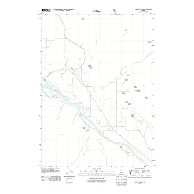
2011 Map of Swan Valley
USGS Topo · Published 2011About this map
The Snake River carves through this eastern Idaho landscape, defining the character of the small mountain communities of Swan Valley and Irwin. This 2011 survey documents the valley's settlement patterns, where roads like Stoltenberg Ln and Rainey Creek Rd follow the natural contours created by the river's path and its many tributaries, including Rainey Creek and Oakden Creek. The map shows a clear division between the agricultural and residential flats of the valley floor and the dramatic, deeply incised terrain of the surrounding mountains, which are punctuated by dozens of named canyons like Horse Canyon and Rocky Canyon.
Find a feature on this map
43 named features on this map. Tap any name to fly to it.
Don’t see what you’re looking for? This feature index may not catch every label — zoom into the map to look around manually.
Map Details
Editions of this 2011 Swan Valley Map
This is the sole edition of this map. No revisions or reprints were ever made.
Other maps of this area

1932 · Irwin
USGS Topo · 1:96,000

1935 · Irwin
USGS Topo · 1:125,000

1943 · Driggs
USGS Topo · 1:62,500

1943 · Garns Mtn
USGS Topo · 1:62,500

1946 · Driggs
USGS Topo · 1:62,500

1946 · Garns Mtn
USGS Topo · 1:62,500

1955 · Driggs
USGS Topo · 1:250,000

1958 · Driggs
USGS Topo · 1:250,000

1962 · Driggs
USGS Topo · 1:250,000

1966 · Conant Valley
USGS Topo · 1:24,000